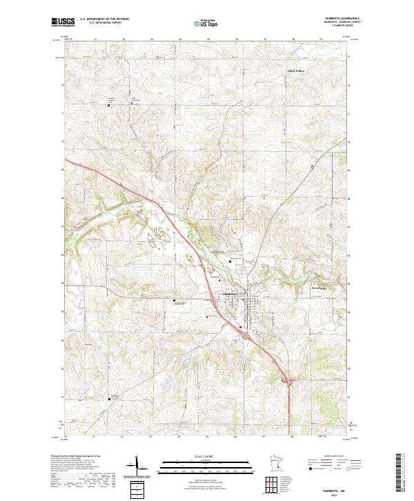
2022 Map of Zumbrota
USGS Topo · Published 2022About this map
Zumbrota serves as the central hub of this Goodhue County landscape, situated at the confluence of several key regional routes and the N Fork Zumbro River. The town's layout is defined by its relationship to the water and the rising terrain of Sugarloaf Hill to the northwest. Outside the main settlement, the area is characterized by scattered farming communities and hamlets like White Willow and Forest Mills, reflecting the deep agricultural roots of the region.
Find a feature on this map
84 named features on this map. Tap any name to fly to it.
Don’t see what you’re looking for? This feature index may not catch every label — zoom into the map to look around manually.
Map Details
Editions of this 2022 Zumbrota Map
This is the sole edition of this map. No revisions or reprints were ever made.
Other maps of this area

1953 · Saint Paul
USGS Topo · 1:250,000

1959 · Saint Paul
USGS Topo · 1:250,000
1965 · Concord
USGS Topo · 1:24,000
1965 · Oronoco
USGS Topo · 1:24,000
1965 · Pine Island
USGS Topo · 1:24,000
1968 · Goodhue East
USGS Topo · 1:24,000
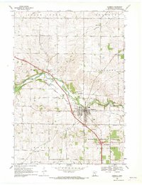
1968 · Zumbrota
USGS Topo · 1:24,000
1968 · Mazeppa
USGS Topo · 1:24,000
1968 · Wanamingo
USGS Topo · 1:24,000
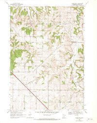
1968 · White Rock
USGS Topo · 1:24,000