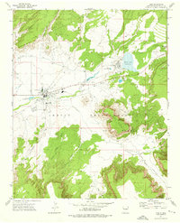
1972 Map of Zuni
USGS Topo · Published 1976About this map
Zuni Pueblo and the neighboring community of Black Rock serve as the central hubs of this 1970s topographical record. The map documents a period of structured development within the Zuni Indian Reservation, where critical community infrastructure like the St Anthony Mission Sch and Dowa Yalanne Sch stand alongside the High Sch and local hospital. The landscape is defined by its relationship with water management, from the Zuni Canal network to the prominent Black Rock Reservoir and the smaller Eustace Lake.
Find a feature on this map
30 named features on this map. Tap any name to fly to it.
Don’t see what you’re looking for? This feature index may not catch every label — zoom into the map to look around manually.
Map Details
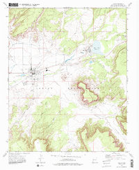
Editions of this 1972 Zuni Map
2 editions found
Other maps of this area

1886 · Wingate
USGS Topo · 1:250,000

1892 · Wingate
USGS Topo · 1:250,000

1954 · Saint Johns
USGS Topo · 1:250,000

1954 · Gallup
USGS Topo · 1:250,000

1957 · Saint Johns
USGS Topo · 1:250,000

1958 · Gallup
USGS Topo · 1:250,000

1958 · Saint Johns
USGS Topo · 1:250,000

1959 · Gallup
USGS Topo · 1:250,000

1962 · Gallup
USGS Topo · 1:250,000

1962 · Saint Johns
USGS Topo · 1:250,000