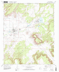
1972 Map of Zuni
USGS Topo · Published 1986About this map
Zuni Pueblo and the adjacent community of Black Rock center this 1972 survey, revealing the critical water management systems within the Zuni Indian Reservation. The landscape is defined by the Zuni River and the engineered utility of the Zuni Canal, which supports the Peach Orchard and local agricultural interests. Near the Zuni settlement, the St Anthony Mission Sch and a local High School provide evidence of established social infrastructure in the early 1970s.
Find a feature on this map
24 named features on this map. Tap any name to fly to it.
Don’t see what you’re looking for? This feature index may not catch every label — zoom into the map to look around manually.
Map Details
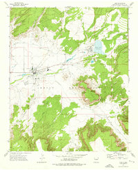
Editions of this 1972 Zuni Map
2 editions found
Other maps of this area

1886 · Wingate
USGS Topo · 1:250,000

1892 · Wingate
USGS Topo · 1:250,000

1954 · Saint Johns
USGS Topo · 1:250,000

1954 · Gallup
USGS Topo · 1:250,000

1957 · Saint Johns
USGS Topo · 1:250,000

1958 · Gallup
USGS Topo · 1:250,000

1958 · Saint Johns
USGS Topo · 1:250,000

1959 · Gallup
USGS Topo · 1:250,000

1962 · Gallup
USGS Topo · 1:250,000

1962 · Saint Johns
USGS Topo · 1:250,000