2000s (21st Century) Maps of Rubias, Yauco
Explore 12 historic maps of Rubias from the 2000s (21st Century). These maps offer a rare glimpse into what life looked like during the 2000s — showing old roads, neighborhoods, homes, and landmarks that have changed or disappeared over time.
Whether you're researching your family's past, planning a metal detecting trip, or studying how Rubias's landscape evolved across the 2000s, these high-resolution maps are a powerful tool for exploring the history of this region.
- Focus on a specific era: All maps on this page are from the 2000s, giving you a focused view of this time period.
- See what’s changed: Compare century-old streets, trails, and buildings to today's modern landscape using overlays and satellite layers.
- Research with precision: Use these maps for genealogy, historical research, land use analysis, or educational projects.
- View, download, or print: Maps are fully viewable online in high resolution, and can be downloaded or printed for your own records.
Start exploring Rubias's history through authentic maps from the 2000s. This is your window into the past.
Rubias, Yauco maps
(12)- 2013 Map of Monte Guilarte, 2013 Print
 2013 Monte Guilarte2013 Print · USGSCovers Rubias, including Sector Jiménez Santiago, Sector Lombrices, and other nearby areas
 - 2013 Map of Maricao, 2013 Print
 2013 Maricao2013 Print · USGSCovers Rubias, including Maricao, Yauco, and other nearby areas
 - 2013 Map of Sabana Grande, 2013 Print
 2013 Sabana Grande2013 Print · USGSCovers Rubias, including Sabana Grande, Villa Juanita, and other nearby areas
 - 2013 Map of Yauco, 2013 Print
 2013 Yauco2013 Print · USGSCovers Rubias, including Yauco, Guayanilla, and other nearby areas
 - 2018 Map of Yauco, 2018 Print
 2018 Yauco2018 Print · USGSCovers Rubias, including Yauco, Guayanilla, and other nearby areas
 - 2018 Map of Sabana Grande, 2018 Print
 2018 Sabana Grande2018 Print · USGSCovers Rubias, including Sabana Grande, Villa Juanita, and other nearby areas
 - 2018 Map of Maricao, 2018 Print
 2018 Maricao2018 Print · USGSCovers Rubias, including Maricao, Yauco, and other nearby areas
 - 2018 Map of Monte Guilarte, 2018 Print
 2018 Monte Guilarte2018 Print · USGSCovers Rubias, including Sector Jiménez Santiago, Sector Lombrices, and other nearby areas
 - 2024 Map of Yauco, 2024 Print
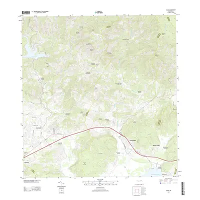
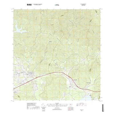
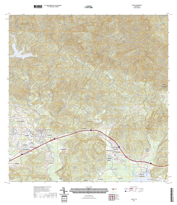 2024 Yauco2024 Print · USGSSouthern Puerto Rico's mountain-to-sea geography is on full display in this contemporary survey of the Yauco and Guayanilla corridor. Researchers can trace family sites at the Viejo Cementerio Municipal De Yauco or explore industrial landmarks like Central Rufina.
 - 2024 Map of Maricao, 2024 Print
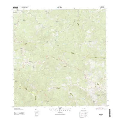
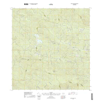
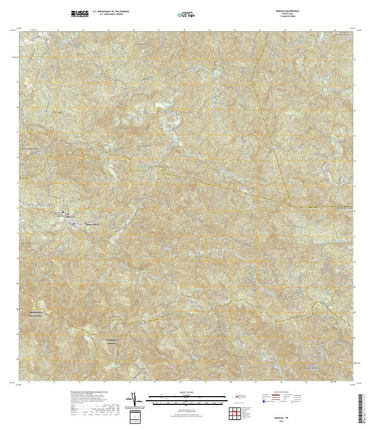 2024 Maricao2024 Print · USGSMaricao and the surrounding highlands are captured in this recent survey of western Puerto Rico. Researchers can trace local landmarks and residential sites like Pueblo Nuevo, Campamento Santana, and the Cementerio Municipal De Maricao.
 - 2024 Map of Monte Guilarte, 2024 Print
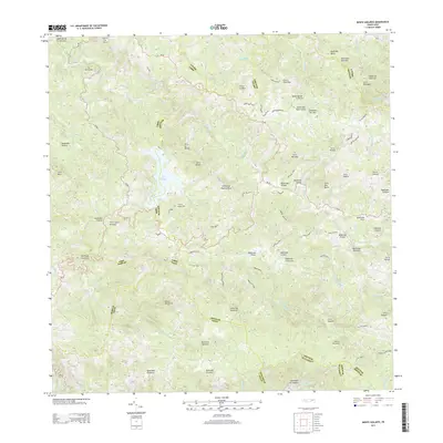
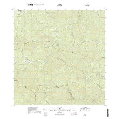
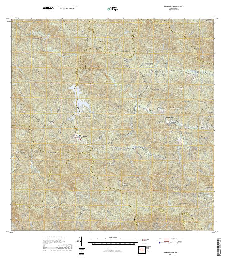 2024 Monte Guilarte2024 Print · USGSThe high central mountains of Puerto Rico are mapped here in the modern era, showing the intersection of several municipal boundaries. Genealogists and researchers can locate Castañer, the Cementerio Municipal Yahuecas, and landmarks like Monte Guilarte.
 - 2024 Map of Sabana Grande, 2024 Print
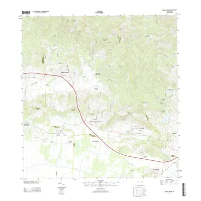
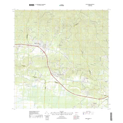
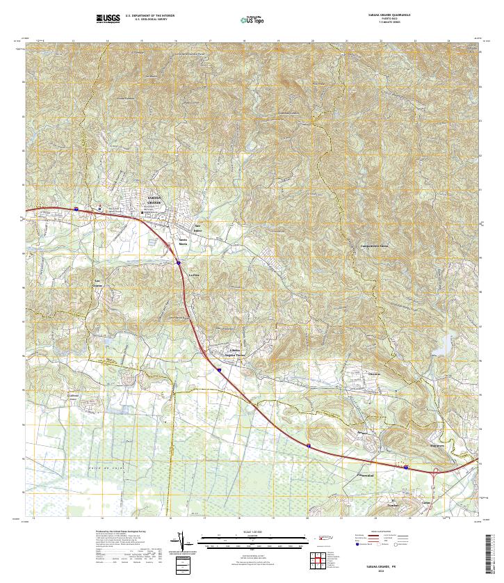 2024 Sabana Grande2024 Print · USGSSabana Grande and the surrounding valley are captured here in the contemporary era as they transition from mountain foothills to fertile plains. Researchers can locate specific neighborhoods like San Isidro and La Pica, or trace the vital Canal Principal De Riego Valle De Lajas.
End of results
Showing maps 1-12 of 12
Frequently asked questions
- What are the different types of historical maps available for Rubias?
- What is the oldest map of Rubias?
- Where can I purchase historical maps of Rubias for my home or office?
- Where can I download high-res historical maps of Rubias?
- Are there historical topographic maps available for Rubias?
- Is there historical aerial imagery available for Rubias?
- Where are historical maps of Rubias sourced from?