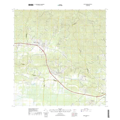
2018 Map of Sabana Grande
USGS Topo · Published 2018About this map
The town of Sabana Grande serves as the focal point for this survey, situated where the northern highlands meet the wide southern agricultural plains. The landscape transitions from the peaks of Monte Palmero and Pico Fraile in the north down toward the extensive Valle de Lajas in the south. This transition is marked by a complex network of waterways, including the Rio Guanajibo and the engineering of the Canal Principal De Riego Valle De Lajas, which supports the region's productive valley floor.
Find a feature on this map
89 named features on this map. Tap any name to fly to it.
Don’t see what you’re looking for? This feature index may not catch every label — zoom into the map to look around manually.
Map Details
Editions of this 2018 Sabana Grande Map
This is the sole edition of this map. No revisions or reprints were ever made.
Other maps of this area

1937 · San German
USGS Topo · 1:25,000

1937 · Sabana Grande
USGS Topo · 1:25,000

1938 · Guanica
USGS Topo · 1:30,000

1938 · Parguera
USGS Topo · 1:30,000

1941 · San German
USGS Topo · 1:30,000

1941 · Sabana Grande
USGS Topo · 1:30,000

1941 · Rosario
USGS Topo · 1:30,000

1942 · Rosario
USGS Topo · 1:30,000

1946 · Maricao
USGS Topo · 1:30,000

1946 · Yauco
USGS Topo · 1:30,000
Featured Places
- Sabana Grande
- Villa Juanita, San Germán
- Sector Los Berrocales, Yauco
- Sector El Túnel, Yauco
- Sector Papayo, Sabana Grande