2020s Maps of Baldwin County, Alabama
Explore 103 historic maps of Baldwin County from the 2020s. These maps offer a rare glimpse into what life looked like during the 2020s — showing old roads, neighborhoods, homes, and landmarks that have changed or disappeared over time.
Whether you're researching your family's past, planning a metal detecting trip, or studying how Baldwin County's landscape evolved across the 2020s, these high-resolution maps are a powerful tool for exploring the history of this region.
- Focus on a specific era: All maps on this page are from the 2020s, giving you a focused view of this time period.
- See what’s changed: Compare century-old streets, trails, and buildings to today's modern landscape using overlays and satellite layers.
- Research with precision: Use these maps for genealogy, historical research, land use analysis, or educational projects.
- View, download, or print: Maps are fully viewable online in high resolution, and can be downloaded or printed for your own records.
Start exploring Baldwin County's history through authentic maps from the 2020s. This is your window into the past.
Baldwin County, AL maps
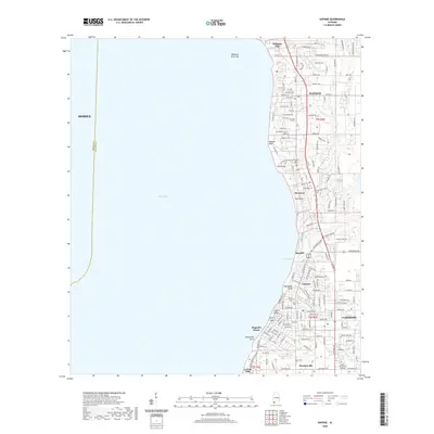
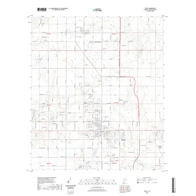
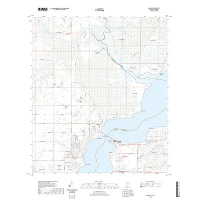
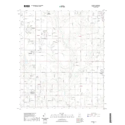
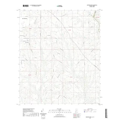
(103)- 2020 Map of Elberta, 2020 Print
 2020 Elberta2020 Print · USGSCovers Baldwin County, including Foley, Elberta, and other nearby areas
 - 2020 Map of Daphne, 2020 Print
 2020 Daphne2020 Print · USGSCovers Baldwin County, including Mobile, Daphne, and other nearby areas
 - 2020 Map of Bridgehead, 2020 Print
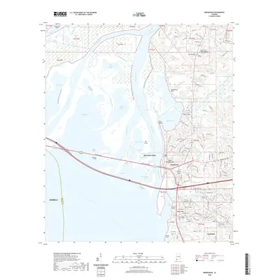 2020 Bridgehead2020 Print · USGSCovers Baldwin County, including Mobile, Daphne, and other nearby areas
 - 2020 Map of Stapleton, 2020 Print
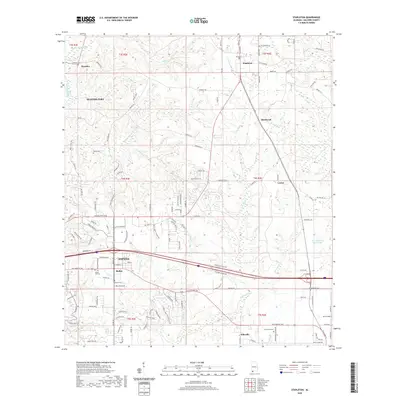 2020 Stapleton2020 Print · USGSCovers Baldwin County, including Daphne, Spanish Fort, and other nearby areas
 - 2020 Map of Foley, 2020 Print
 2020 Foley2020 Print · USGSCovers Baldwin County, including Foley, Summerdale, and other nearby areas
 - 2020 Map of Gateswood, 2020 Print
 2020 Gateswood2020 Print · USGSCovers Baldwin County, including Gateswood, Escambia County, and other nearby areas
 - 2020 Map of Saint Andrews Bay, 2020 Print
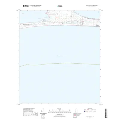 2020 Saint Andrews Bay2020 Print · USGSCovers Baldwin County, including Gulf Highlands, United States, and other nearby areas
 - 2020 Map of The Basin, 2020 Print
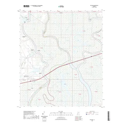 2020 The Basin2020 Print · USGSCovers Baldwin County, including Creola, Mobile County, and other nearby areas
 - 2020 Map of Lillian, 2020 Print
 2020 Lillian2020 Print · USGSCovers Baldwin County, including Lillian, Paradise Beach, and other nearby areas
 - 2020 Map of Little Point Clear, 2020 Print
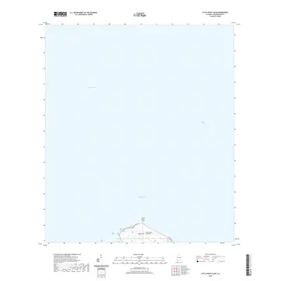 2020 Little Point Clear2020 Print · USGSCovers Baldwin County, including United States, Alabama, and other nearby areas
 - 2020 Map of Pine Beach, 2020 Print
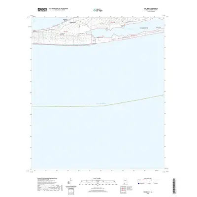 2020 Pine Beach2020 Print · USGSCovers Baldwin County, including Gulf Shores, Cedar Grove, and other nearby areas
 - 2020 Map of Seminole, 2020 Print
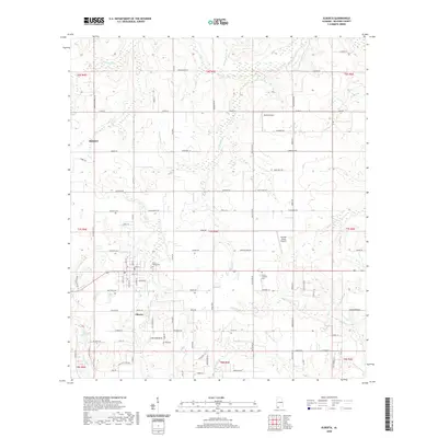
 2020 Seminole2020 Print · USGSCovers Baldwin County, including Seminole, Beulah, and other nearby areas
 - 2020 Map of Point Clear, 2020 Print
 2020 Point Clear2020 Print · USGSCovers Baldwin County, including Fairhope, Point Clear, and other nearby areas
 - 2020 Map of Bay Minette South, 2020 Print
 2020 Bay Minette South2020 Print · USGSCovers Baldwin County, including Spanish Fort, Bay Minette, and other nearby areas
 - 2020 Map of Magnolia Springs, 2020 Print
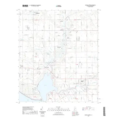 2020 Magnolia Springs2020 Print · USGSCovers Baldwin County, including Fairhope, Magnolia Springs, and other nearby areas
 - 2020 Map of Hurricane, 2020 Print
 2020 Hurricane2020 Print · USGSCovers Baldwin County, including Mobile, Creola, and other nearby areas
 - 2020 Map of Steelwood Lake, 2020 Print
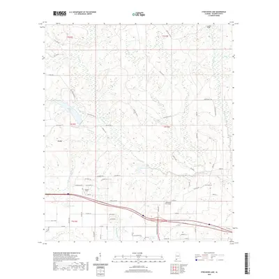 2020 Steelwood Lake2020 Print · USGSCovers Baldwin County, including Loxley, United States, and other nearby areas
 - 2020 Map of Silverhill, 2020 Print
 2020 Silverhill2020 Print · USGSCovers Baldwin County, including Daphne, Fairhope, and other nearby areas
 - 2020 Map of Bon Secour Bay, 2020 Print
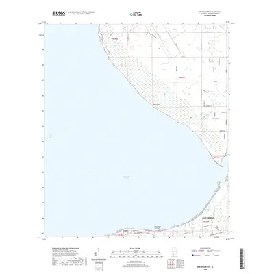 2020 Bon Secour Bay2020 Print · USGSCovers Baldwin County, including Gulf Shores, Gasque, and other nearby areas
 - 2020 Map of Hollingers Island, 2020 Print
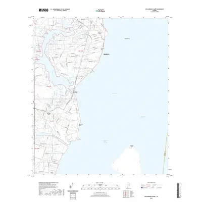 2020 Hollingers Island2020 Print · USGSCovers Baldwin County, including Mobile, Clarke Gardens, and other nearby areas
 - 2020 Map of Dyas, 2020 Print
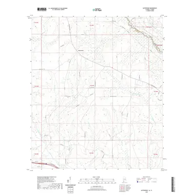
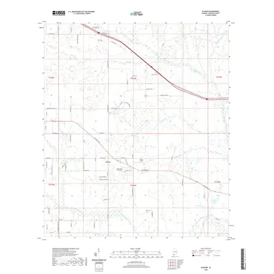
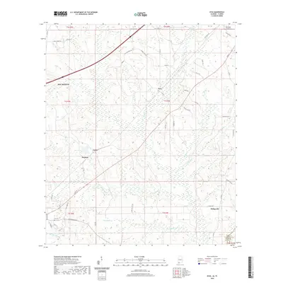 2020 Dyas2020 Print · USGSCovers Baldwin County, including Bay Minette, Dyas, and other nearby areas
 - 2020 Map of Bay Minette North, 2020 Print
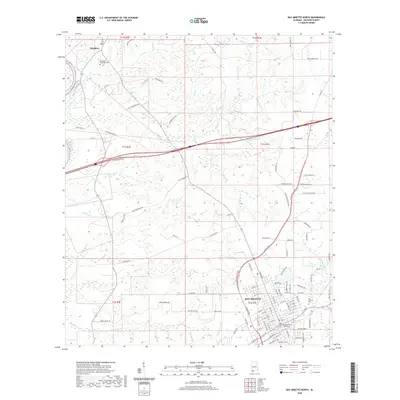 2020 Bay Minette North2020 Print · USGSCovers Baldwin County, including Bay Minette, Eastwood, and other nearby areas
 - 2020 Map of Dogwood Creek, 2020 Print
 2020 Dogwood Creek2020 Print · USGSCovers Baldwin County, including Bay Minette, Pine Grove, and other nearby areas
 - 2020 Map of Elsanor, 2020 Print
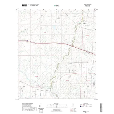
 2020 Elsanor2020 Print · USGSCovers Baldwin County, including Elsanor, United States, and other nearby areas
 - 2020 Map of Fort Morgan, 2020 Print
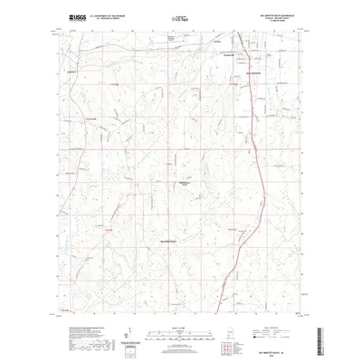
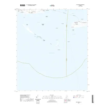 2020 Fort Morgan2020 Print · USGSCovers Baldwin County, including Dauphin Island, Fort Morgan, and other nearby areas
Showing maps 1-25 of 103
Top cities of Baldwin County
- Daphne historical maps
- Fairhope historical maps
- Foley historical maps
- Gulf Shores historical maps
- Spanish Fort historical maps
- Bay Minette historical maps
See more
Frequently asked questions
- What are the different types of historical maps available for Baldwin County?
- What is the oldest map of Baldwin County?
- Where can I purchase historical maps of Baldwin County for my home or office?
- Where can I download high-res historical maps of Baldwin County?
- Are there historical topographic maps available for Baldwin County?
- Is there historical aerial imagery available for Baldwin County?
- Where are historical maps of Baldwin County sourced from?