2010s Maps of Baldwin County, Alabama
Explore 144 historic maps of Baldwin County from the 2010s. These maps offer a rare glimpse into what life looked like during the 2010s — showing old roads, neighborhoods, homes, and landmarks that have changed or disappeared over time.
Whether you're researching your family's past, planning a metal detecting trip, or studying how Baldwin County's landscape evolved across the 2010s, these high-resolution maps are a powerful tool for exploring the history of this region.
- Focus on a specific era: All maps on this page are from the 2010s, giving you a focused view of this time period.
- See what’s changed: Compare century-old streets, trails, and buildings to today's modern landscape using overlays and satellite layers.
- Research with precision: Use these maps for genealogy, historical research, land use analysis, or educational projects.
- View, download, or print: Maps are fully viewable online in high resolution, and can be downloaded or printed for your own records.
Start exploring Baldwin County's history through authentic maps from the 2010s. This is your window into the past.
Baldwin County, AL maps
(144)- 2011 Map of Freemanville, 2011 Print
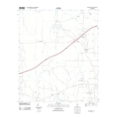 2011 Freemanville2011 Print · USGSEscambia County at the start of the 2010s reveals a rural landscape shaped by small communities and oil production. Genealogists and historians can trace family locations near Poarch, the Perdido Oil Field, and several burial sites including Judson Cemetery.
 - 2011 Map of Chrysler, 2011 Print
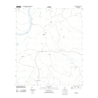 2011 Chrysler2011 Print · USGSCoastal Alabama river country comes into focus in this modern survey of the Baldwin County interior. Genealogists and local historians can locate several family burial grounds, including Shomo Cemetery, and the civic heart of Little River Post Office.
 - 2011 Map of Tensaw, 2011 Print
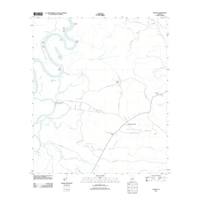 2011 Tensaw2011 Print · USGSThe river landings and rural crossroads of Baldwin County are preserved here as they appeared in the early 2010s. Genealogists and researchers can locate family sites like the Tensaw Memorial Cemetery and landings such as Harry Davis Landing.
 - 2011 Map of McCullough, 2011 Print
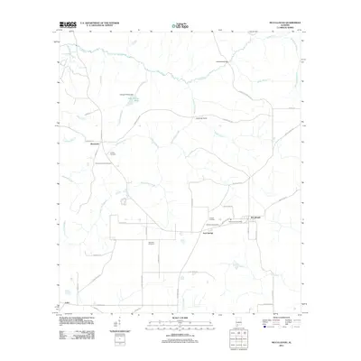 2011 McCullough2011 Print · USGSThe rural landscape of Escambia County comes into focus as it appeared in the early 2010s, showing a community structured around its post office and family lands. Researchers can trace ancestral locations through the Lindsey Cemetery or follow historic paths like Stage Coach Rd and Prestwood Bridge.
 - 2011 Map of Blacksher, 2011 Print
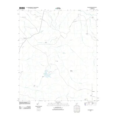 2011 Blacksher2011 Print · USGSBaldwin County at the start of the decade reveals a landscape where timber interests and energy production meet rural life. Researchers can trace family roots at Dixie Cemetery or explore the geography of the Blacksher Oil Field and Patterson Lake.
 - 2011 Map of Bilbo Island, 2011 Print
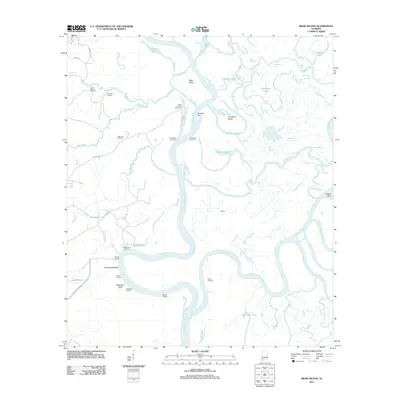 2011 Bilbo Island2011 Print · USGSThe confluence of the Tombigbee and Alabama rivers comes alive in this study of Mobile County's river delta at the start of the 2010s. Researchers can locate remote river outposts and local landmarks like Big John Cemetery, Nanahubba Bluff, and Bates Landing Fish Camp.
 - 2011 Map of Hollingers Island, 2011 Print
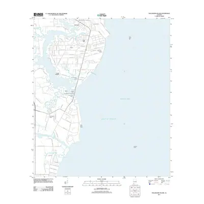 2011 Hollingers Island2011 Print · USGSCoastal Alabama at the start of the 2010s reveals a sophisticated network of bayous and marinas along the western shore of the bay. Local historians can trace family ties at Lartigue Cemetery or explore the waterfront infrastructure at Southern Marina and Harbor and Hollingers Island.
 - 2011 Map of Bellefontaine, 2011 Print
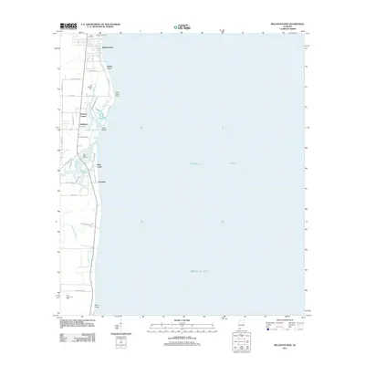 2011 Bellefontaine2011 Print · USGSCoastal Mobile County is shown here in the early twenty-first century as the Fowl River meets the bay. Genealogists and local historians can locate family sites at Mathis Cemetery and Boudans Cemetery or trace the docks at Fowl River Marina.
 - 2011 Map of Little Dauphin Island, 2011 Print
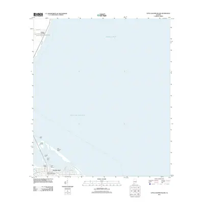 2011 Little Dauphin Island2011 Print · USGSDauphin Island and the Mobile County coastline are shown in high detail during the early 2010s. Researchers can locate family sites at the Alabama Port Cemetery or Reeds Cemetery and trace the modern expansion along Bienville Blvd.
 - 2011 Map of Vaughn, 2011 Print
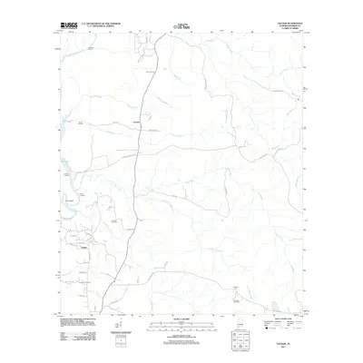 2011 Vaughn2011 Print · USGSUpper Baldwin County in the early twenty-first century reveals a landscape shaped by creek bottomlands and historic river access. Researchers can trace family sites at Lancaster Cemetery and locate old landmarks like the Ben May Fire Tower and Hubbard Landing.
 - 2011 Map of Perdido, 2011 Print
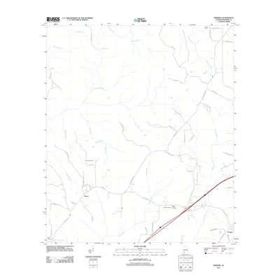 2011 Perdido2011 Print · USGSPerdido and Rabun, Alabama, are shown at the start of the 2010s as traditional rural communities shaped by their many waterways. Researchers can locate family heritage sites like Millers Cemetery, Dean Cemetery, and Gentry Cemetery.
 - 2011 Map of Stiggins Lake, 2011 Print
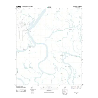 2011 Stiggins Lake2011 Print · USGSThe Mobile and Tensaw River delta is captured here in the early twenty-first century, showing a landscape defined by historical river crossings and bayous. Researchers can trace the heritage of Fort Stoddard, locate Morningstar Cemetery, or find old river access points like Rice Creek Landing.
 - 2011 Map of Silverhill, 2011 Print
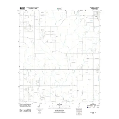 2011 Silverhill2011 Print · USGSBaldwin County at the start of the decade shows a landscape where established farming settlements meet modern development. Genealogists can trace family footprints at Silverhill Cemetery or Belforest, and locate landmarks like the Bohemian Hall and Fish River.
 - 2011 Map of Bay Minette South, 2011 Print
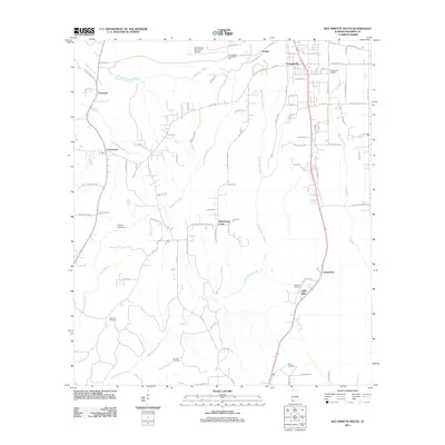 2011 Bay Minette South2011 Print · USGSBaldwin County at the start of the 2010s shows a landscape of growing residential communities and long-established rural family tracts. Researchers can trace local lineages through several burial sites like Douglasville Cemetery and Dean Cemetery, or locate landmarks such as Whitehouse Forks.
 - 2011 Map of Bon Secour Bay, 2011 Print
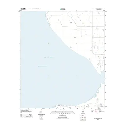 2011 Bon Secour Bay2011 Print · USGSThe Alabama shoreline and Bon Secour Bay are mapped here during the early twenty-first century. Family history and local industry are preserved in labels for Shellbank Cemetery, Gasque, and the Skunk Bayou Gas Field.
 - 2011 Map of Elberta, 2011 Print
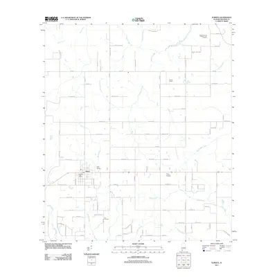 2011 Elberta2011 Print · USGSElberta and the surrounding Baldwin County wetlands are captured here in the early twenty-first century as the area maintained its rural coastal character. Genealogists and local historians can trace family-named routes and landmarks like Saint Marks Cemetery, Horak Airport, and the Elberta Post Office.
 - 2011 Map of Daphne, 2011 Print
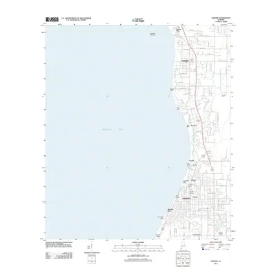 2011 Daphne2011 Print · USGSThe eastern shore of Mobile Bay comes into focus in this 2011 survey, showing the residential growth and shoreline geography of Baldwin County. Genealogists and researchers can trace family landmarks like Montrose Cemetery, The Village, and the legendary Jackson Oak.
 - 2011 Map of Gateswood, 2011 Print
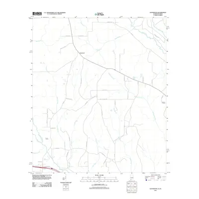 2011 Gateswood2011 Print · USGSCoastal Alabama's inland river country is meticulously documented in this early twenty-first-century survey of the Gateswood area. Researchers can trace historic family connections through Pittman Cemetery and landmarks like the Chandler Fire Tower.
 - 2011 Map of Foley, 2011 Print
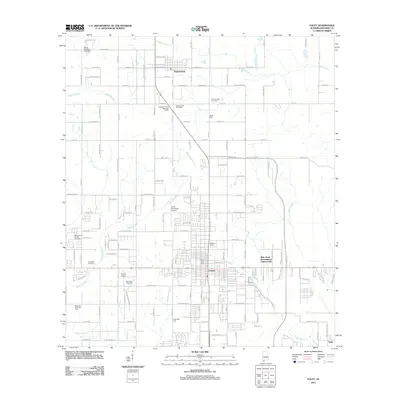 2011 Foley2011 Print · USGSBaldwin County at the start of the 2010s shows a landscape of growing southern towns and active energy production. Genealogists and local historians can trace family locations near Summerdale Cemetery, locate the Foley Post Office, or identify sites like the West Foley Gas Field.
 - 2011 Map of Robertsdale, 2011 Print
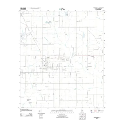 2011 Robertsdale2011 Print · USGSBaldwin County at the start of the 2010s shows a landscape of growing town centers and traditional family-named landmarks. Trace local genealogy and land use through sites like Coopers Cemetery, Bonner Field, and the Baldwin County Coliseum in Robertsdale.
 - 2011 Map of Dogwood Creek, 2011 Print
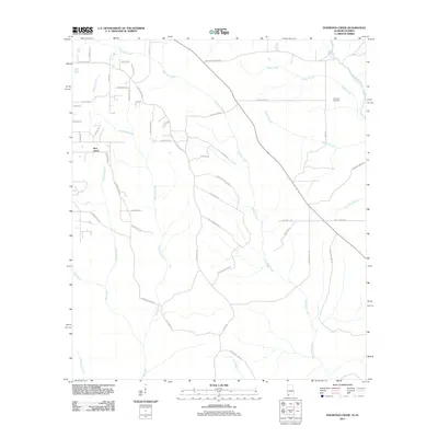 2011 Dogwood Creek2011 Print · USGSCoastal Alabama's timber and creek lands near the Florida border are shown here during the early twenty-first century. Genealogists and local historians can trace family-named roads like Old Brady Rd and locate the High Pine Cemetery near Indian Creek.
 - 2011 Map of Gulf Shores, 2011 Print
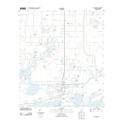 2011 Gulf Shores2011 Print · USGSCoastal Baldwin County at the start of the century shows a blend of working waterfronts and modern resort development. Researchers can trace local history through sites like the Bon Secour Post Office, Wallace Cemetery, and Swifts Landing.
 - 2011 Map of Magnolia Springs, 2011 Print
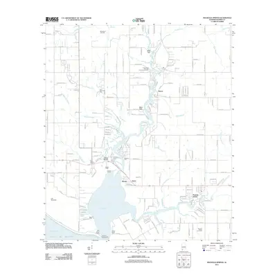 2011 Magnolia Springs2011 Print · USGSCoastal Baldwin County is documented here at a time when the Fish River and Weeks Bay continued to shape local commerce and recreation. Researchers can locate family landmarks like Brook Cedron Cemetery and the old sites of McKenzie Ferry and Clay City.
 - 2011 Map of Bridgehead, 2011 Print
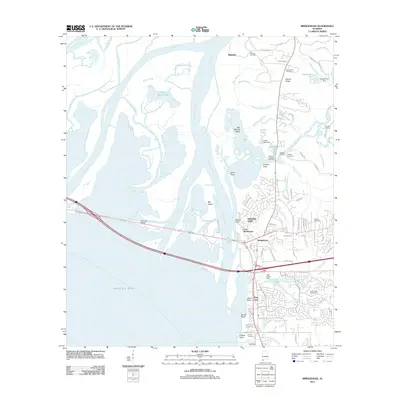 2011 Bridgehead2011 Print · USGSThe eastern shore of Mobile Bay appears at a moment of modern residential growth amidst deep-rooted colonial and military history. Genealogists and historians can locate Fort McDermott, the historic Blakeley site, and family-named landmarks like Wilson Cemetery or D'Olive Cemetery.
 - 2011 Map of Seminole, 2011 Print
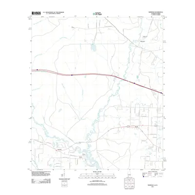 2011 Seminole2011 Print · USGSThe Alabama-Florida borderlands come into focus at a time when rural communities and river systems still shaped the local landscape. Genealogists can trace family connections at Old Muscogee Cemetery and Mitchell Cemetery or explore the riverfront at Browns Landing.
Showing maps 1-25 of 144
Top cities of Baldwin County
- Daphne historical maps
- Fairhope historical maps
- Foley historical maps
- Gulf Shores historical maps
- Spanish Fort historical maps
- Bay Minette historical maps
See more
Frequently asked questions
- What are the different types of historical maps available for Baldwin County?
- What is the oldest map of Baldwin County?
- Where can I purchase historical maps of Baldwin County for my home or office?
- Where can I download high-res historical maps of Baldwin County?
- Are there historical topographic maps available for Baldwin County?
- Is there historical aerial imagery available for Baldwin County?
- Where are historical maps of Baldwin County sourced from?