2020s Maps of Bullock County, Alabama
Explore 32 historic maps of Bullock County from the 2020s. These maps offer a rare glimpse into what life looked like during the 2020s — showing old roads, neighborhoods, homes, and landmarks that have changed or disappeared over time.
Whether you're researching your family's past, planning a metal detecting trip, or studying how Bullock County's landscape evolved across the 2020s, these high-resolution maps are a powerful tool for exploring the history of this region.
- Focus on a specific era: All maps on this page are from the 2020s, giving you a focused view of this time period.
- See what’s changed: Compare century-old streets, trails, and buildings to today's modern landscape using overlays and satellite layers.
- Research with precision: Use these maps for genealogy, historical research, land use analysis, or educational projects.
- View, download, or print: Maps are fully viewable online in high resolution, and can be downloaded or printed for your own records.
Start exploring Bullock County's history through authentic maps from the 2020s. This is your window into the past.
Bullock County, AL maps
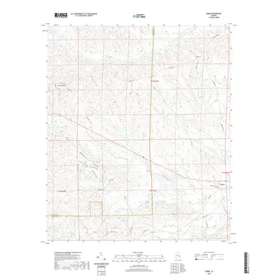
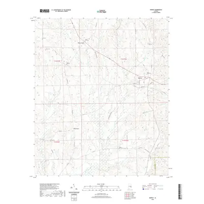
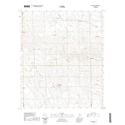
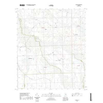
(32)- 2020 Map of Mount Andrew, 2020 Print
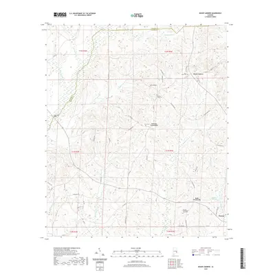 2020 Mount Andrew2020 Print · USGSCovers Bullock County, including Clayton, Garmon Crossroads, and other nearby areas
 - 2020 Map of Perote, 2020 Print
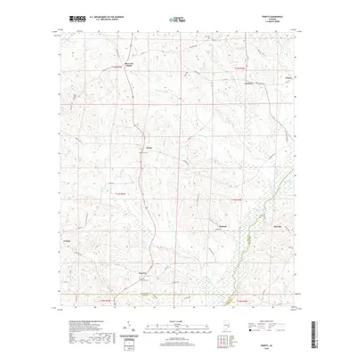 2020 Perote2020 Print · USGSCovers Bullock County, including Boot Hill, Blues Old Stand, and other nearby areas
 - 2020 Map of Saco, 2020 Print
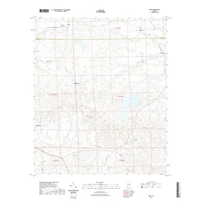
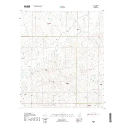 2020 Saco2020 Print · USGSCovers Bullock County, including Beans Crossroads, Sellers Crossroads, and other nearby areas
 - 2020 Map of Needmore, 2020 Print
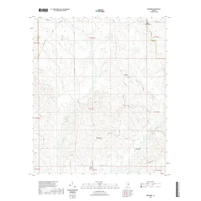 2020 Needmore2020 Print · USGSCovers Bullock County, including Jonesville, Logton, and other nearby areas
 - 2020 Map of Comer, 2020 Print
 2020 Comer2020 Print · USGSCovers Bullock County, including Comer, Barbour County, and other nearby areas
 - 2020 Map of Hurtsboro, 2020 Print
 2020 Hurtsboro2020 Print · USGSCovers Bullock County, including Hurtsboro, Enon, and other nearby areas
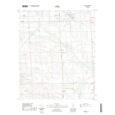
 - 2020 Map of Union Springs, 2020 Print
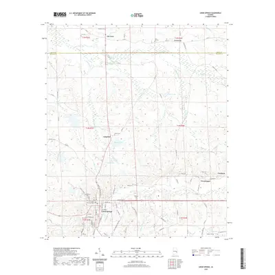 2020 Union Springs2020 Print · USGSCovers Bullock County, including Union Springs, Armstrong, and other nearby areas
 - 2020 Map of Hardaway, 2020 Print
 2020 Hardaway2020 Print · USGSCovers Bullock County, including Hardaway, Liverpool, and other nearby areas
 - 2020 Map of Midway, 2020 Print
 2020 Midway2020 Print · USGSCovers Bullock County, including Midway, Three Notch, and other nearby areas
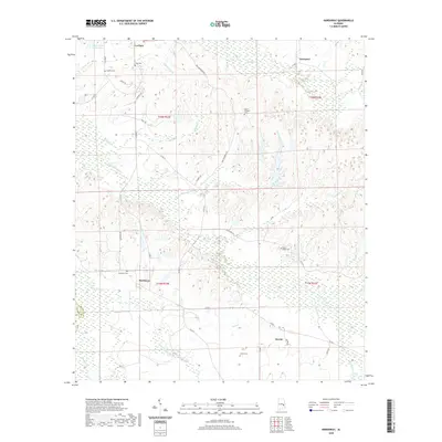
 - 2020 Map of Almeria, 2020 Print
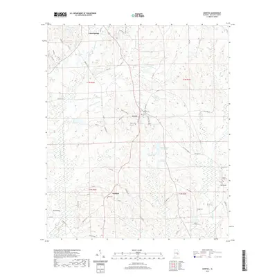
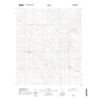 2020 Almeria2020 Print · USGSCovers Bullock County, including Postoak, Almeria, and other nearby areas
 - 2020 Map of Fitzpatrick, 2020 Print
 2020 Fitzpatrick2020 Print · USGSCovers Bullock County, including Mitchell, Fitzpatrick, and other nearby areas
 - 2020 Map of China Grove, 2020 Print
 2020 China Grove2020 Print · USGSCovers Bullock County, including Hector, High Ridge, and other nearby areas
 - 2020 Map of Chesson, 2020 Print
 2020 Chesson2020 Print · USGSCovers Bullock County, including Pike Road, Shorter, and other nearby areas
 - 2020 Map of Thompson, 2020 Print
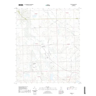 2020 Thompson2020 Print · USGSCovers Bullock County, including Thompson, Cornerstone, and other nearby areas
 - 2020 Map of Roba, 2020 Print
 2020 Roba2020 Print · USGSCovers Bullock County, including Peachburg, Hannon, and other nearby areas
 - 2020 Map of Aberfoil, 2020 Print
 2020 Aberfoil2020 Print · USGSCovers Bullock County, including Union Springs, Stavo, and other nearby areas
 - 2024 Map of Aberfoil, 2024 Print
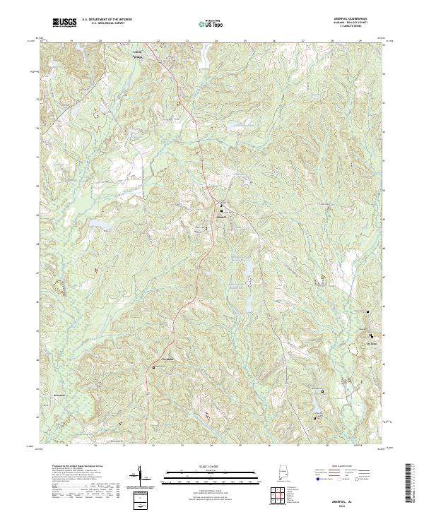 2024 Aberfoil2024 Print · USGSBullock County's rural heartland is documented here in the early twenty-first century, showing a landscape of small communities and family landmarks. Researchers can trace the heritage of the area through Lydia Baptist Cem, Elizabeth Cem, and settlements like Scotland and Aberfoil.
 - 2024 Map of Chesson, 2024 Print
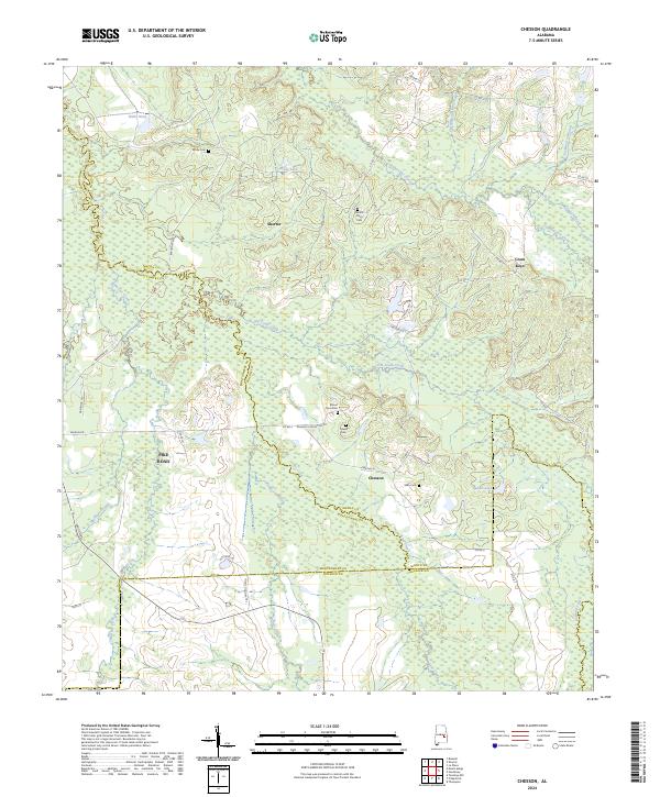 2024 Chesson2024 Print · USGSMacon and Montgomery counties meet in this 2024 survey of the Alabama Black Belt, showing the evolving rural landscape between Shorter and Pike Road. Researchers can pinpoint family history at Mount Zion Cem, trace the drainage of Cubahatchee Creek, or locate the historic settlement of Cross Keys.
 - 2024 Map of Almeria, 2024 Print
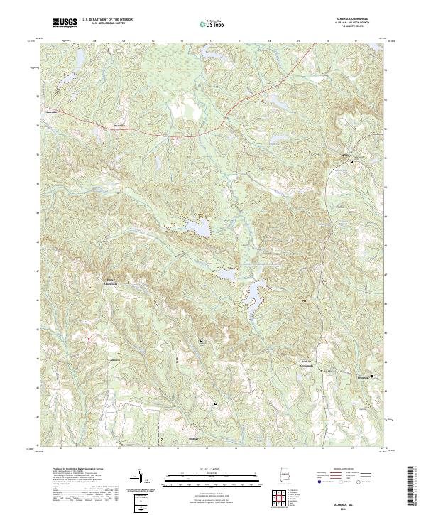 2024 Almeria2024 Print · USGSBullock County remains a landscape of quiet crossroads and historic creek drainages as seen in this modern Alabama survey. Researchers can trace family roots through sites like Sardis Baptist Church, High Ridge Cem, and the old settlement at Postoak.
 - 2024 Map of Hurtsboro, 2024 Print
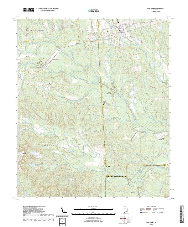 2024 Hurtsboro2024 Print · USGSThe borderlands of Russell, Bullock, Macon, and Barbour counties come together in this modern survey of eastern Alabama. Researchers can trace family roots at Hurtsboro Cem and Enon Cem or explore the drainage of Gowikee Creek.
 - 2024 Map of Comer, 2024 Print
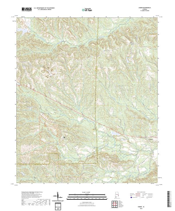 2024 Comer2024 Print · USGSThe Barbour and Bullock county line serves as the backdrop for this contemporary look at the area around Comer. Genealogists and researchers can trace local family heritage at Ramah Baptist Church and Cem or explore the drainage of South Fork Cowikee Creek.
 - 2024 Map of Midway, 2024 Print
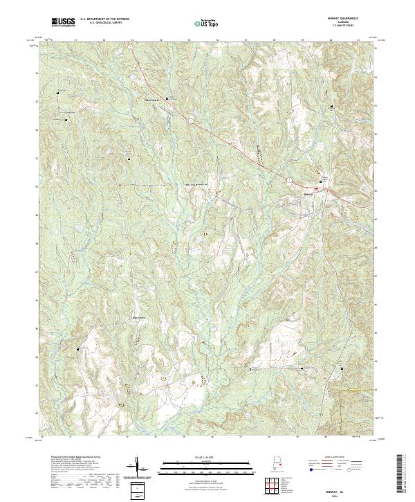 2024 Midway2024 Print · USGSMidway and Three Notch anchor this rural Bullock County landscape in the modern era. Genealogists can trace family heritage across numerous burial sites, from Peniel Cem to Midway Baptist Cem, and locate the Antioch Church along the Pea River.
 - 2024 Map of Fitzpatrick, 2024 Print
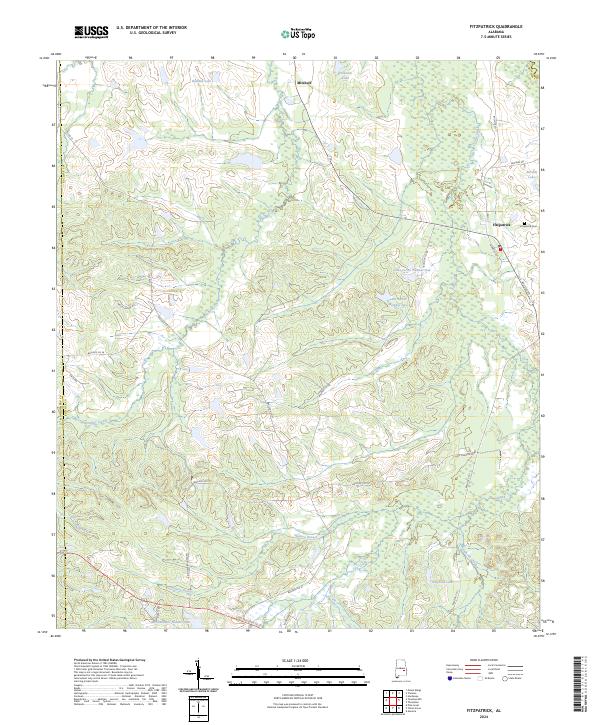 2024 Fitzpatrick2024 Print · USGSBulllock County's rural agricultural heart is captured here in the early 2020s, showing a landscape defined by creeks and timber tracts. Researchers can trace family landmarks and local history at Fitzpatrick, the Fitzpatrick Cem, and around Rutland Lake.
 - 2024 Map of Union Springs, 2024 Print
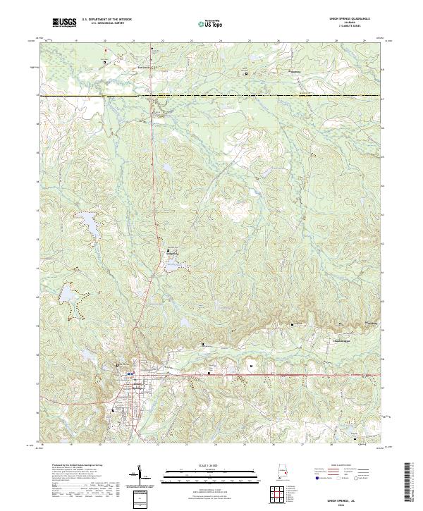 2024 Union Springs2024 Print · USGSUnion Springs and its surrounding rural communities are documented in this recent survey of the Alabama Black Belt. Genealogists and researchers can trace local family history through numerous sites like Oak Hill Cem, Chunnenuggee, and the Bullock County Courthouse.
 - 2024 Map of China Grove, 2024 Print
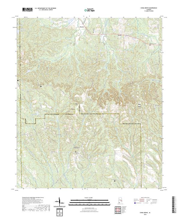 2024 China Grove2024 Print · USGSThe crossroads of Bullock, Pike, and Montgomery counties come into focus in this contemporary survey of southeastern Alabama. Researchers can trace rural settlement history and family sites through the China Grove Cem, the Pickett Family Cem, and the community of Shopton.
Showing maps 1-25 of 32
Top cities of Bullock County
Frequently asked questions
- What are the different types of historical maps available for Bullock County?
- What is the oldest map of Bullock County?
- Where can I purchase historical maps of Bullock County for my home or office?
- Where can I download high-res historical maps of Bullock County?
- Are there historical topographic maps available for Bullock County?
- Is there historical aerial imagery available for Bullock County?
- Where are historical maps of Bullock County sourced from?