Old Maps of Bullock County, Alabama for Metal Detecting
Plan your next treasure hunt with 104 historic maps of Bullock County. Find old homesites, ghost towns, trails, and gathering spots that may be lost to time — perfect for identifying promising metal detecting locations.
- Locate forgotten sites: Uncover places like long-lost settlements, abandoned rail lines, or gathering spots.
- Plan better hunts: Use map overlays combined with LiDAR or satellite views to narrow in on historically rich areas.
- Made for detectorists: Thousands of hobbyists use these maps to discover relics, coins, and hidden history.
Use these historic maps to boost your research and find new opportunities beneath the surface of Bullock County.
Bullock County, AL maps
(104)- 1953 Map of Dothan, 1966 Print
 1953 Dothan1966 Print · USGSSoutheast Alabama and Southwest Georgia are captured during a period of massive hydraulic and military expansion in the mid-fifties. Genealogists and historians can trace rural landmarks like Antioch Church and School, the Andrew Jackson Monument, and the early footprint of Fort Rucker Military Reservation.3 unique versions available
 - 1954 Map of Dothan
 1954 Dothan1954 Print · USGSSoutheast Alabama and Southwest Georgia are seen here in the mid-fifties, during a decade of military expansion and rural transition. Genealogists can trace the location of country schools like Little Zion School or the grounds of Kolomoki Mounds State Park.
 - 1955 Map of Dothan
 1955 Dothan1955 Print · USGSSoutheast Alabama and Southwest Georgia are captured here in the mid-fifties, showing a landscape of river-port history and growing military bases. Researchers can trace rural life via the Andrew Jackson Monument, Bauxite mines, and the Central of Georgia RR.
 - 1955 Map of Phenix City, 1964 Print
 1955 Phenix City1964 Print · USGSPost-war Alabama and Georgia meet along the Chattahoochee River as industry and military installations expand. Trace the rail lines of the Central of Georgia through towns like Opelika, Tuskegee, and Alexander City.3 unique versions available
 - 1957 Map of Phenix City
 1957 Phenix City1957 Print · USGSThe Alabama-Georgia borderlands are captured here in the mid-fifties, centered on the bustling river crossing at Phenix City and Columbus. Researchers can trace the mid-century footprint of the Fort Benning Military Reservation or locate smaller textile and railroad towns like Langdale and Camp Hill.
 - 1958 Map of Phenix City
 1958 Phenix City1958 Print · USGSThe Alabama-Georgia borderlands thrive during the late fifties, anchored by the river-driven industry of Columbus and Phenix City. Researchers can trace the mid-century footprints of Fort Benning, Auburn, and the textile towns of Fairfax and Lanett.
 - 1968 Map of Perote, 1970 Print
 1968 Perote1970 Print · USGSSoutheastern Bullock County and its neighbors come alive in this late 1960s survey of Alabama's Black Belt region. Genealogists and local historians can trace family roots through rural landmarks like Blues Old Stand, Smuteye, and the Mt Hilliard Ch cemetery.
 - 1968 Map of Saco, 1971 Print
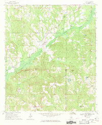 1968 Saco1971 Print · USGSThe rural borderlands of Pike and Bullock Counties come into focus during the late sixties, where the Central of Georgia rail line skirts the Conecuh River. Researchers can trace local genealogy through numerous landmarks including Jones Chapel, Carrs Chapel, and the settlement of Saco.2 unique versions available
 - 1968 Map of Mount Andrew, 1971 Print
 1968 Mount Andrew1971 Print · USGSBarbour County was a landscape of remote crossroads and creek-side mills in the late sixties. Genealogists can trace family footprints through numerous rural landmarks like Street Memorial Ch, Williams Millpond, and the Old Indian Treaty Boundary.
 - 1968 Map of Needmore, 1971 Print
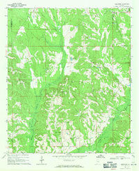 1968 Needmore1971 Print · USGSSoutheast Alabama at the cusp of the 1970s reveals a quiet landscape of rural crossroads and river bottomlands. Researchers can locate family landmarks like Needmore, Tick Hill Cem, and Benevolent Grove Ch along the winding Conecuh River.
 - 1971 Map of China Grove, 1974 Print
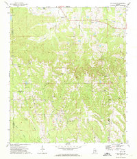 1971 China Grove1974 Print · USGSThe crossroads of Pike and Bullock counties are captured here in the early seventies, showing a landscape of small rural settlements. Genealogists can trace family footprints through numerous local landmarks like Bethesda Cem, Mt Olive Ch, and Shopton.2 unique versions available
 - 1971 Map of Hardaway, 1974 Print
 1971 Hardaway1974 Print · USGSMacon County in the early seventies remains a landscape of quiet creek-side settlements and rail stops. Researchers can trace the Seaboard Coast Line through Hardaway or locate family roots at Damascus Ch and Mt Pisgah Cem.2 unique versions available
 - 1971 Map of Thompson, 1974 Print
 1971 Thompson1974 Print · USGSIn the early 1970s, this portion of Bullock County was a landscape of rail-fed settlements and historical borders. Genealogists can trace family names at Haines Chapel Cem and Paulk Cem or locate the Central of Georgia rail line near Thompson.2 unique versions available
 - 1971 Map of Fitzpatrick, 1974 Print
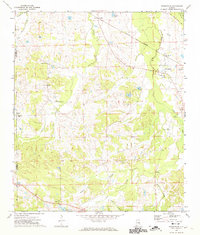 1971 Fitzpatrick1974 Print · USGSBullock County's rural landscape is captured here in the early 1970s, as the railroad network still dictated the pace of local life. Researchers can trace ancestral connections through New Bethel Ch, Panther Cem, and the Old Indian Treaty Bdy near Fitzpatrick.2 unique versions available
 - 1971 Map of Chesson, 1974 Print
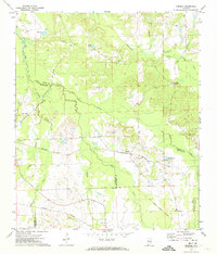 1971 Chesson1974 Print · USGSMacon County's rural landscape is captured here in the early seventies, where rail lines and treaty boundaries still define the local geography. Researchers can trace family roots at Mt Zion Ch, locate the settlement of Chesson, or follow the historic Indian Treaty Boundary.2 unique versions available
 - 1971 Map of Almeria, 1974 Print
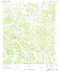 1971 Almeria1974 Print · USGSBullock County, Alabama, is captured in the early 1970s as a landscape of rural crossroads and family-named landmarks. Researchers can trace the roots of small communities at Hooks Crossroads and Inverness, or locate historic church sites like Mount Hilliard Ch and Faith Tabernacle.
 - 1973 Map of Comer, 1975 Print
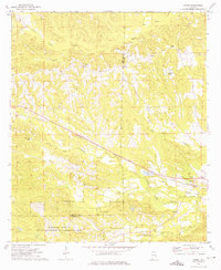 1973 Comer1975 Print · USGSBarbour and Bullock counties in the early seventies remained a landscape of rural tradition and railroad transit. Genealogists and local historians can trace family locations near Great Hope Ch, the Seay Cem, and the tracks of the Central of Georgia near Comer.
 - 1973 Map of Hurtsboro, 1975 Print
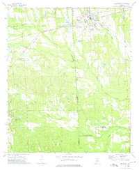 1973 Hurtsboro1975 Print · USGSThe rail crossroads at Hurtsboro remained a vital hub in the 1970s where two major lines intersected. Genealogists can locate several rural landmarks including St Pauls Cem, Enon, and Russell High Sch.
 - 1973 Map of Union Springs, 1976 Print
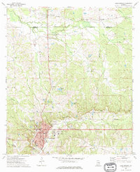 1973 Union Springs1976 Print · USGSUnion Springs and its surrounding Bullock County countryside are captured here in the early 1970s at a peak of rail and agricultural connectivity. Genealogists can trace family roots through numerous sites like Oak Hill Cem, St Paul Ch, and the community of Fort Davis.
 - 1973 Map of Midway, 1976 Print
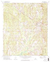 1973 Midway1976 Print · USGSMidway and the rural stretches of Bullock and Barbour counties are captured here in the early 1970s. Researchers can trace family history through sites like Johnston Cem and Midway High Sch, or follow the path of the Indian Treaty Boundary.
 - 1973 Map of Roba, 1976 Print
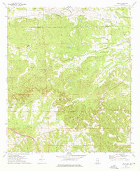 1973 Roba1976 Print · USGSThe borderlands of Bullock and Macon counties are captured here in the early seventies, showing a rural economy built on rail and creek-side industry. Researchers can find many family-history landmarks, from the Jericho Cem to old rail stops at Suspension and Guerryton.2 unique versions available
 - 1973 Map of Aberfoil, 1976 Print
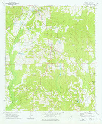 1973 Aberfoil1976 Print · USGSBullock County settlements south of Union Springs appear in the mid-1970s as the local economy balanced rail transport and clay extraction. Researchers can trace the Indian Treaty Boundary or locate rural family landmarks like Elizabeth Ch and the Dasinger Cem.
 - 1981 Map of Troy, 1982 Print
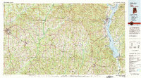 1981 Troy1982 Print · USGSThe Chattahoochee River valley and the wiregrass region of Alabama come alive in the early eighties as the Walter F George Reservoir reshapes the eastern border. Genealogists can trace family roots through historic railroad towns like Brundidge and Louisville or explore the rural surroundings of Blue Springs State Park.
 - 1981 Map of Tuskegee, 1982 Print
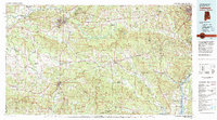 1981 Tuskegee1982 Print · USGSMacon and Bullock counties are captured here in the early eighties, showcasing a landscape deeply tied to the railroad and the legacies of Tuskegee Institute. Researchers can locate specific sites from Moton Field to rural settlements along the Seaboard Coast Line like Hurtsboro and Pittsview.2 unique versions available
 - 2011 Map of Needmore, 2011 Print
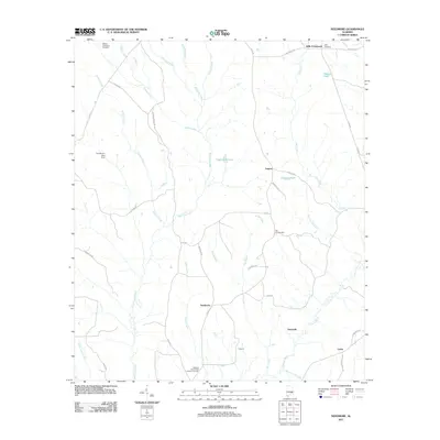 2011 Needmore2011 Print · USGSPike County, Alabama, is documented here in the early twenty-first century as a landscape of rural crossroads and family settlements. Researchers can trace local lineages through sites like the Williams and Andrew Jackson Cemetery, Needmore, and Stills Crossroads.
Showing maps 1-25 of 104
Top cities of Bullock County
Frequently asked questions
- What are the different types of historical maps available for Bullock County?
- What is the oldest map of Bullock County?
- Where can I purchase historical maps of Bullock County for my home or office?
- Where can I download high-res historical maps of Bullock County?
- Are there historical topographic maps available for Bullock County?
- Is there historical aerial imagery available for Bullock County?
- Where are historical maps of Bullock County sourced from?