2000s (21st Century) Maps of Bullock County, Alabama
Explore 80 historic maps of Bullock County from the 2000s (21st Century). These maps offer a rare glimpse into what life looked like during the 2000s — showing old roads, neighborhoods, homes, and landmarks that have changed or disappeared over time.
Whether you're researching your family's past, planning a metal detecting trip, or studying how Bullock County's landscape evolved across the 2000s, these high-resolution maps are a powerful tool for exploring the history of this region.
- Focus on a specific era: All maps on this page are from the 2000s, giving you a focused view of this time period.
- See what’s changed: Compare century-old streets, trails, and buildings to today's modern landscape using overlays and satellite layers.
- Research with precision: Use these maps for genealogy, historical research, land use analysis, or educational projects.
- View, download, or print: Maps are fully viewable online in high resolution, and can be downloaded or printed for your own records.
Start exploring Bullock County's history through authentic maps from the 2000s. This is your window into the past.
Bullock County, AL maps
(80)- 2011 Map of Needmore, 2011 Print
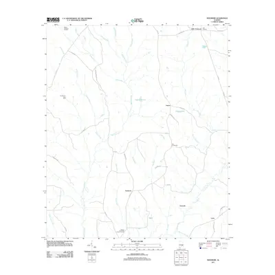 2011 Needmore2011 Print · USGSPike County, Alabama, is documented here in the early twenty-first century as a landscape of rural crossroads and family settlements. Researchers can trace local lineages through sites like the Williams and Andrew Jackson Cemetery, Needmore, and Stills Crossroads.
 - 2011 Map of Perote, 2011 Print
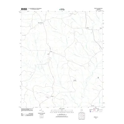 2011 Perote2011 Print · USGSBarbour County’s rural crossroads and watercourses are documented here during the early twenty-first century. Genealogists and local historians can trace family roots through sites like Perote Cemetery, Smuteye, and the namesake rise at Boot Hill.
 - 2011 Map of Mount Andrew, 2011 Print
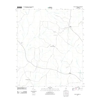 2011 Mount Andrew2011 Print · USGSMount Andrew and the surrounding Barbour County countryside are documented here in the early twenty-first century. Researchers can trace rural settlement patterns through local junctions like Garmon Crossroads and find family history at Shiloh Cemetery or Williams Millpond.
 - 2011 Map of Saco, 2011 Print
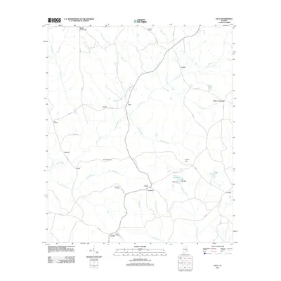 2011 Saco2011 Print · USGSSoutheast Alabama’s rural crossroads and river bottomlands are captured here as they appeared in the early twenty-first century. Genealogists and local historians can locate family landmarks like Sandfield Cemetery, Old Canaan Cemetery, and the small settlement of Saco.
 - 2011 Map of Chesson, 2011 Print
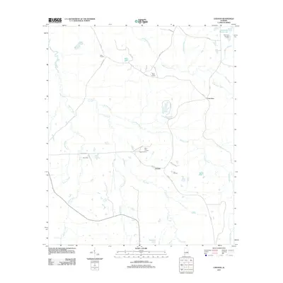 2011 Chesson2011 Print · USGSThe rural landscape near Pike Road is captured in the early twenty-first century, showing a network of creeks and small settlements. Researchers can locate numerous family burial grounds such as White Cemetery and Silah Cemetery along historical routes like Chesson Plantation Rd.
 - 2011 Map of Union Springs, 2011 Print
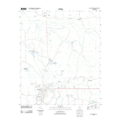 2011 Union Springs2011 Print · USGSThe town of Union Springs and its surrounding rural hamlets are captured here at the start of the 2010s. Researchers can trace family history through numerous burial grounds like Oak Hill and Elizabeth, or locate the historic Fort Davis Post Office.
 - 2011 Map of Midway, 2011 Print
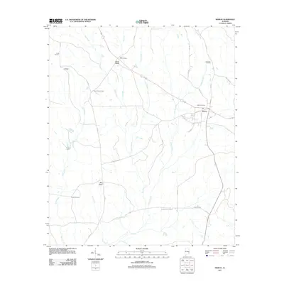 2011 Midway2011 Print · USGSMidway and the surrounding Bullock County countryside are captured here in the early twenty-first century. Genealogists can trace family connections through a high density of local burial sites, such as Mount Azure Cemetery, Johnston Cemetery, and Antioch Church Cemetery.
 - 2011 Map of Hurtsboro, 2011 Print
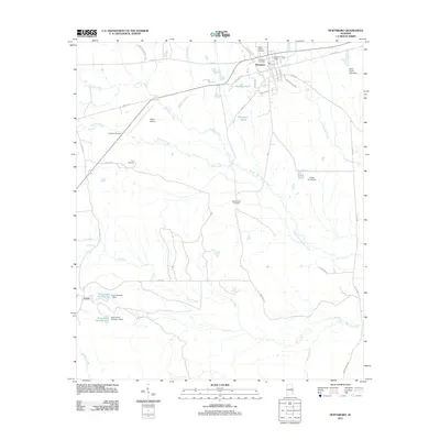 2011 Hurtsboro2011 Print · USGSHurtsboro and the surrounding Russell County countryside are documented here in the early twenty-first century. Researchers can trace local lineage at Saint Pauls Cemetery, locate the Hurtsboro Post Office, or explore the riparian geography near Enon and Cowikee Creek.
 - 2011 Map of Almeria, 2011 Print
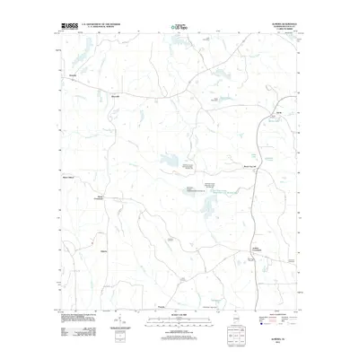 2011 Almeria2011 Print · USGSBullock County remains a landscape of small agricultural crossroads and family cemeteries in the early 21st century. Genealogists can trace rural communities from Jenkins Crossroads to Almeria and locate burial grounds like Inverness Cemetery or Sardis Cemetery.
 - 2011 Map of Fitzpatrick, 2011 Print
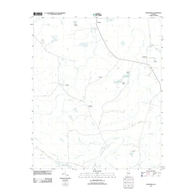 2011 Fitzpatrick2011 Print · USGSThe rural communities of Fitzpatrick and Mitchell are documented here in the early twenty-first century, showing a landscape of small farms and water management. Researchers can locate family landmarks such as Mount Zion Cemetery, Barnett Lake, and the Tompkins Lake area.
 - 2011 Map of China Grove, 2011 Print
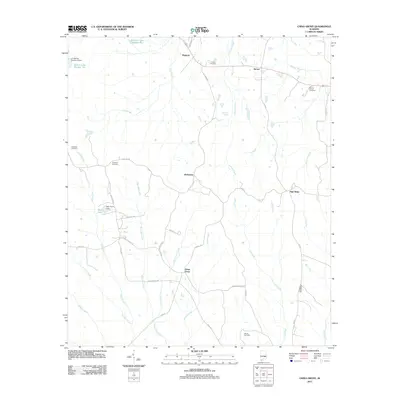 2011 China Grove2011 Print · USGSBullock County remains a patchwork of small communities and family landholdings in the early twenty-first century. Genealogists and local historians can trace legacy sites such as Bethesda Cemetery, Mount Carmel Cemetery, and the rural settlements of China Grove and Shopton.
 - 2011 Map of Aberfoil, 2011 Print
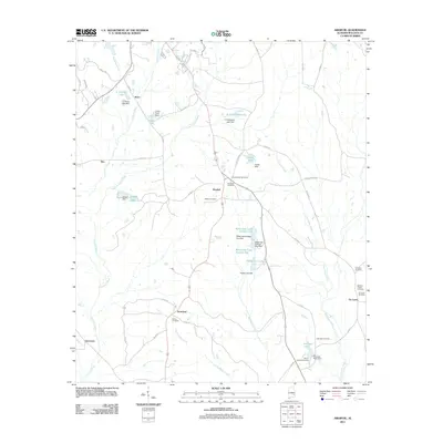 2011 Aberfoil2011 Print · USGSBullock County at the start of the twenty-first century shows a landscape of small agricultural settlements and family-named cemeteries. Genealogists can trace local heritage at Lydia Baptist Cemetery, McGrady Cemetery, and the community of Scotland.
 - 2011 Map of Roba, 2011 Print
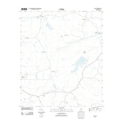 2011 Roba2011 Print · USGSThe rural landscapes of Bullock County are documented here in the early twenty-first century, showing the enduring layout of its small crossroads communities. Researchers can trace ancestral locations near Jericho Cemetery or follow the waters of Sehoy Lake and Prairie Creek.
 - 2011 Map of Comer, 2011 Print
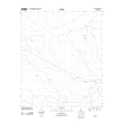 2011 Comer2011 Print · USGSSoutheastern Alabama's rural character is preserved in this study of the area around Comer during the early twenty-first century. Researchers can locate family landmarks such as Ramah Cemetery and Seay Cemetery alongside local infrastructure like Mc Calls Lake Dam.
 - 2011 Map of Thompson, 2011 Print
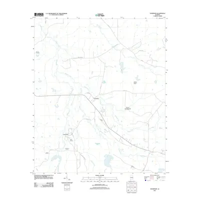 2011 Thompson2011 Print · USGSThompson and Cornerstone are captured in this early 21st-century portrait of rural Bullock County, Alabama. Genealogists and local historians can trace family locations at Haines Chapel Cemetery, Penile Cemetery, and the airstrip at Franklin Field.
 - 2011 Map of Hardaway, 2011 Print
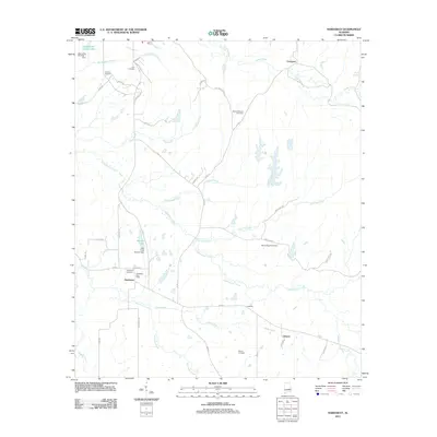 2011 Hardaway2011 Print · USGSMacon County's rural creek valleys and crossroads settlements are documented here in the early twenty-first century. Genealogists can trace family landmarks like Hardaway Cemetery, Ambers Cemetery, and the community surrounding the Hardaway Post Office.
 - 2014 Map of Hardaway, 2014 Print
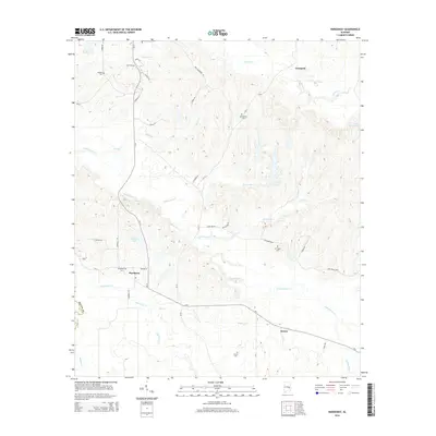 2014 Hardaway2014 Print · USGSMacon County's rural landscape is defined by the winding Cubahatchee Cr and the small crossroads communities of Hardaway and Downs during the early twenty-first century. Genealogists and local historians can locate several family cemeteries, including Ambers Cem, Cole Cem, and Grimm Cem.
 - 2014 Map of Saco, 2014 Print
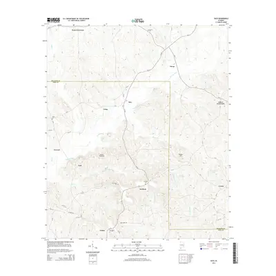 2014 Saco2014 Print · USGSSoutheast Alabama’s rural borderlands are captured here in the early twenty-first century, showing the quiet intersections of Bullock and Pike counties. Genealogists can trace family footprints through sites like Old Canaan Cemetery and Beans Crossroads.
 - 2014 Map of Comer, 2014 Print
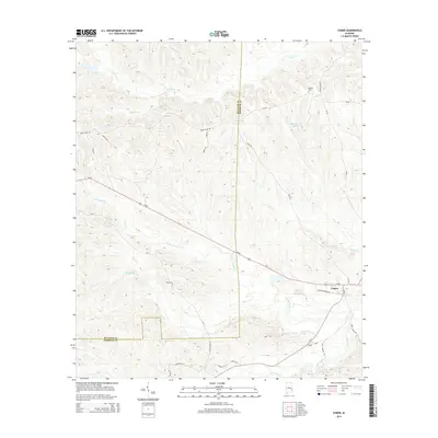 2014 Comer2014 Print · USGSThe rural landscape near the Bullock and Barbour county line is captured here during the 2010s, centered on the settlement of Comer. Researchers can trace local water features and landmarks like McCains Lake, Grants Duck Pond, and the S Fork Cowikee Cr.
 - 2014 Map of Hurtsboro, 2014 Print
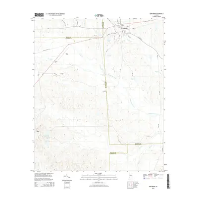 2014 Hurtsboro2014 Print · USGSSoutheast Alabama at the junction of four counties reveals a landscape where rural crossroads and creek-bottom timberland meet. Trace local heritage through the streets of Hurtsboro, the community of Enon, and numerous family burial sites like Glenford Cem and Provo Cem.
 - 2014 Map of Roba, 2014 Print
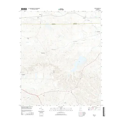 2014 Roba2014 Print · USGSMacon and Bullock counties meet in this rural Alabama landscape during the early twenty-first century. Researchers can trace family history through several burial sites including Jericho Cem, Thornton Cem, and the small community at Suspension.
 - 2014 Map of Aberfoil, 2014 Print
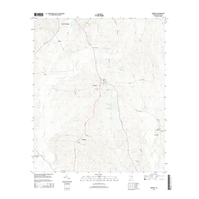 2014 Aberfoil2014 Print · USGSBullock County, Alabama, is shown here in the early twenty-first century, featuring rural settlements like Aberfoil and Scottland. Researchers can trace numerous local burial sites including Elizabeth Cem, Lydia Baptist Cem, and Bethel Cem.
 - 2014 Map of Almeria, 2014 Print
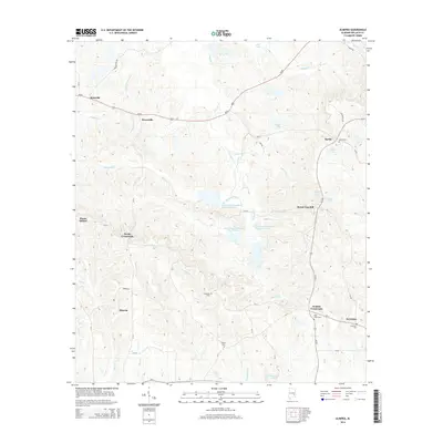 2014 Almeria2014 Print · USGSBullock County settlements and small crossroads communities are well-documented here in the years following the millennium. Genealogists and local historians can trace family locations near Sardis Cem, Inverness, and the rural intersection of Hooks Crossroads.
 - 2014 Map of Union Springs, 2014 Print
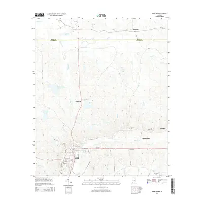 2014 Union Springs2014 Print · USGSThe Bullock County seat and its rural surroundings are captured here in the early twenty-first century. Researchers can trace family sites near Union Springs or locate rural landmarks like Oak Hill Cem, Fort Davis, and the historic community of Chunnenuggee.
 - 2014 Map of Mount Andrew, 2014 Print
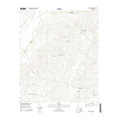 2014 Mount Andrew2014 Print · USGSBarbour County and Bullock County meet among the ridges and creek valleys of southeastern Alabama during the early twenty-first century. Researchers can locate several rural hubs and cemeteries, from Mount Andrew and Garmon Crossroads to the Pleasant Grove Baptist Church Cem.
Showing maps 1-25 of 80
Top cities of Bullock County
Frequently asked questions
- What are the different types of historical maps available for Bullock County?
- What is the oldest map of Bullock County?
- Where can I purchase historical maps of Bullock County for my home or office?
- Where can I download high-res historical maps of Bullock County?
- Are there historical topographic maps available for Bullock County?
- Is there historical aerial imagery available for Bullock County?
- Where are historical maps of Bullock County sourced from?