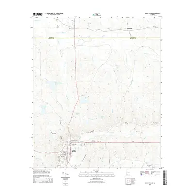
2014 Map of Union Springs
USGS Topo · Published 2014About this map
Union Springs serves as the regional hub at the southern end of this landscape, where the headwaters of the Conecuh River and Little Conecuh River begin their drainage south toward the Gulf. The town's grid is dense with local history, marked by Oak Hill Cem and Mason Cem, and serves as a junction for Us-82 and Us-29. Northward, the terrain transitions into a more distributed pattern of small settlements and family holdings typical of the Alabama Black Belt. The community of Fort Davis sits near the Macon County line, surrounded by several smaller cemeteries like Ivory Cem and Elizabeth Cem. A network of creeks, including Cubahatchee Cr and Dobbs Cr, defines the rural character between Sedgefield and Armstrong. This area is also notable for numerous managed water bodies, such as Maytags Lake and Cochrans Lake, which punctuate the woodlands and fields of Bullock County.
Find a feature on this map
67 named features on this map. Tap any name to fly to it.
Don’t see what you’re looking for? This feature index may not catch every label — zoom into the map to look around manually.
Map Details
Editions of this 2014 Union Springs Map
This is the sole edition of this map. No revisions or reprints were ever made.
Other maps of this area

1955 · Phenix City
USGS Topo · 1:250,000

1957 · Phenix City
USGS Topo · 1:250,000

1958 · Phenix City
USGS Topo · 1:250,000

1971 · Hardaway
USGS Topo · 1:24,000

1971 · Thompson
USGS Topo · 1:24,000
1971 · Almeria
USGS Topo · 1:24,000
1973 · Union Springs
USGS Topo · 1:24,000
1973 · Midway
USGS Topo · 1:24,000
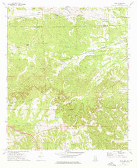
1973 · Roba
USGS Topo · 1:24,000
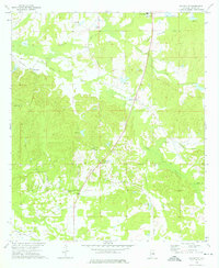
1973 · Davisville
USGS Topo · 1:24,000