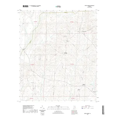
2020 Map of Mount Andrew
USGS Topo · Published 2020About this map
The Pea River and its numerous tributaries, including Spring Cr and Little Indian Cr, define the drainage patterns of this corner of Barbour and Bullock Counties. This upland landscape is centered on the prominent Center Ridge and the settlement of Mount Andrew. The map details a network of rural crossroads and community anchors, such as Garmon Crossroads and Bells Crossroads, which served as local gathering points for generations. Toward the southeast, the terrain descends toward the outskirts of Clayton, while the rural interior is dotted with legacy sites like the Pleasant Grove Baptist Church Cem and Shiloh Cem. Historical family and community landmarks are frequent, notably the Williams Millpond and the Cooks Ford Bridge, providing a clear view of the area's agricultural and hydrologic infrastructure. The prevalence of named cemeteries and local road names like William Guill Rd offers significant value for researchers tracing family history in this portion of Alabama.
Find a feature on this map
96 named features on this map. Tap any name to fly to it.
Don’t see what you’re looking for? This feature index may not catch every label — zoom into the map to look around manually.
Map Details
Editions of this 2020 Mount Andrew Map
This is the sole edition of this map. No revisions or reprints were ever made.
Other maps of this area

1953 · Dothan
USGS Topo · 1:250,000

1954 · Dothan
USGS Topo · 1:250,000

1955 · Dothan
USGS Topo · 1:250,000

1955 · Phenix City
USGS Topo · 1:250,000

1957 · Phenix City
USGS Topo · 1:250,000

1958 · Phenix City
USGS Topo · 1:250,000

1967 · Clayton South
USGS Topo · 1:24,000

1968 · Clayton North
USGS Topo · 1:24,000

1968 · Perote
USGS Topo · 1:24,000

1968 · Louisville
USGS Topo · 1:24,000