2020s Maps of Calhoun County, Alabama
Explore 37 historic maps of Calhoun County from the 2020s. These maps offer a rare glimpse into what life looked like during the 2020s — showing old roads, neighborhoods, homes, and landmarks that have changed or disappeared over time.
Whether you're researching your family's past, planning a metal detecting trip, or studying how Calhoun County's landscape evolved across the 2020s, these high-resolution maps are a powerful tool for exploring the history of this region.
- Focus on a specific era: All maps on this page are from the 2020s, giving you a focused view of this time period.
- See what’s changed: Compare century-old streets, trails, and buildings to today's modern landscape using overlays and satellite layers.
- Research with precision: Use these maps for genealogy, historical research, land use analysis, or educational projects.
- View, download, or print: Maps are fully viewable online in high resolution, and can be downloaded or printed for your own records.
Start exploring Calhoun County's history through authentic maps from the 2020s. This is your window into the past.
Calhoun County, AL maps
(37)- 2020 Map of Eulaton, 2020 Print
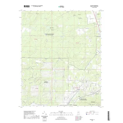 2020 Eulaton2020 Print · USGSCalhoun County's military and civil rights landscape is captured here in the contemporary era, centered on the expansion of Oxford and Anniston. Researchers can trace the layout of the Anniston Army Depot or locate family sites like Lloyds Chapel Cem and Morrisville.
 - 2020 Map of Anniston, 2020 Print
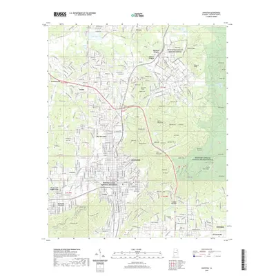 2020 Anniston2020 Print · USGSAnniston and its surrounding communities are captured here during a period of modern growth and historical preservation. Genealogists and local historians can trace the development of Saks and Oxford while locating significant sites like the Prisoner of War Cem and Freedom Riders National Monument.
 - 2020 Map of Glencoe, 2020 Print
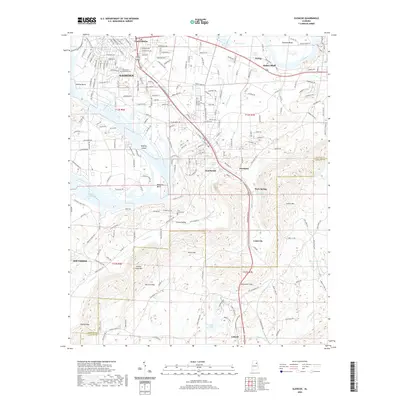 2020 Glencoe2020 Print · USGSNortheast Alabama’s river valleys and ridgelines are clearly defined here as Gadsden expands toward the Coosa. Local researchers can trace family landmarks like Crestwood Memorial Cem and settlements from Hokes Bluff to Cobb City.
 - 2020 Map of Wellington, 2020 Print
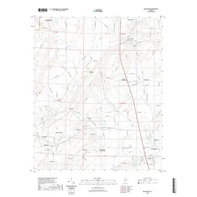 2020 Wellington2020 Print · USGSEastern Alabama's rural valley communities are preserved here in the modern era, showing the enduring settlement patterns between the mountain ridges. Researchers can locate numerous family burial sites and landmarks like Lowrimores Crossroads, Reads Mill, and Middleton Cem.
 - 2020 Map of Colvin Gap, 2020 Print
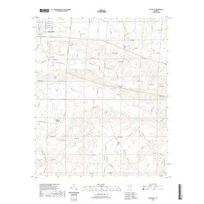 2020 Colvin Gap2020 Print · USGSThe foothills of Northeast Alabama come alive in this detailed look at the rural landscape between Gadsden and Jacksonville. Researchers can locate family landmarks like Youngs Chapel Cem and Landers Cem or trace the drainage of Ohatchee Cr through Colvin Gap.
 - 2020 Map of Jacksonville West, 2020 Print
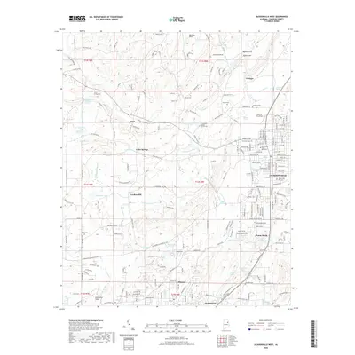 2020 Jacksonville West2020 Print · USGSJacksonville and Weaver appear at a modern crossroads in the 2020s, where the grounds of Jacksonville State University meet a landscape of deep-rooted family history. Researchers can trace ancestral sites through Leydens Mill, Schenks White Sulphur Springs, and the Jacksonville City Cem.
 - 2020 Map of Ohatchee, 2020 Print
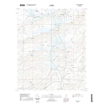 2020 Ohatchee2020 Print · USGSThe Coosa River valley and the tri-county borders of Alabama are detailed here in the contemporary era. Researchers can trace family history through numerous landmarks like Ten Island Cem, Heald Cem, and the historic area of Greensport.
 - 2020 Map of Francis Mill, 2020 Print
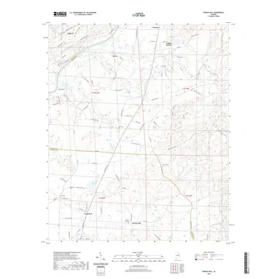 2020 Francis Mill2020 Print · USGSThe northern edge of Talladega County comes into focus in this 2020 map, centered on the communities of Lincoln and Martins Mill. Researchers can trace local heritage through landmarks like Pattons Chapel Cem, Creswell Cem, and the winding waters of Cane Creek.
 - 2020 Map of Ragland, 2020 Print
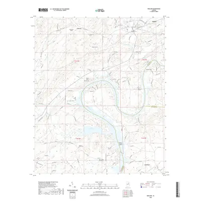 2020 Ragland2020 Print · USGSThe Coosa River valley and the foothills of St. Clair County are captured here in the modern era as the landscape balances growing communities and vast reservoirs. Researchers can locate family heritage sites like Mitchell Cem and Box Cem or trace the winding waters of Logan Martin Lake.
 - 2020 Map of Eastaboga, 2020 Print
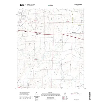 2020 Eastaboga2020 Print · USGSThe borderlands of Calhoun and Talladega counties are captured here in 2020, centered on the historic communities of Lincoln and Eastaboga. Genealogists and local historians can trace family sites at Groce-Montgomery Cem or explore the water-powered history near Smiths Mill.
 - 2021 Map of Munford, 2021 Print
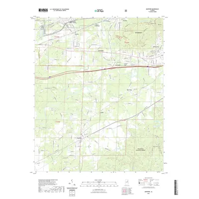 2021 Munford2021 Print · USGSNortheast Alabama is captured here at a time when the industrial footprint of the Anniston Army Depot met the natural borders of the Talladega National Forest. Researchers can trace the path of the Norfolk Southern through historic communities like Munford and Coldwater.
 - 2021 Map of Piedmont, 2021 Print
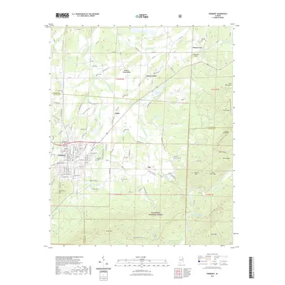 2021 Piedmont2021 Print · USGSPiedmont and the surrounding valleys of the Talladega National Forest are shown in detail as they appeared in 2021. Genealogists and hikers can trace rural routes to McFrey Crossroads, locate Hanks Cem, or follow the Pinhoti National Recreation Trail.
 - 2021 Map of Jacksonville East, 2021 Print
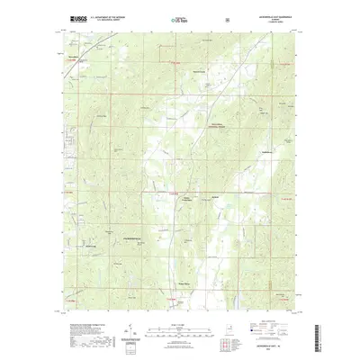 2021 Jacksonville East2021 Print · USGSNortheast Alabama at the start of the 2020s shows a landscape of deep national forest ridges and historic valley settlements. Researchers can trace family sites at Whites Gap Cem or locate old crossroads like Holley Crossroads and Jenkins.
 - 2021 Map of Piedmont SE, 2021 Print
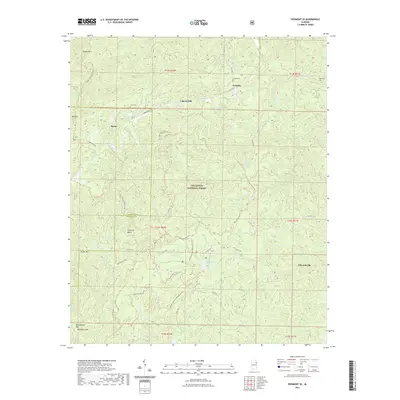 2021 Piedmont SE2021 Print · USGSEastern Alabama's timbered hills are shown in detail during the early 2020s, revealing a landscape where mountain ridges meet rural crossroads. Genealogists can trace local roots at Dunn Cem and Stead Cem, or locate long-standing settlements like Edwardsville and Hitching Beech.
 - 2021 Map of Piedmont NW, 2021 Print
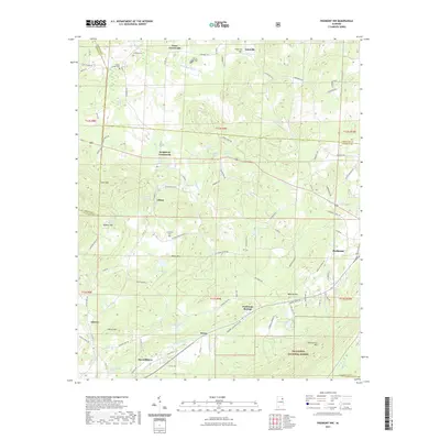 2021 Piedmont NW2021 Print · USGSNorthwestern Calhoun County and its surroundings are shown in the early 2020s, highlighting the area's characteristic ridges and timberlands. Researchers can trace rural landmarks like Maxwellborn, the grounds of Pisgah Cem, and the waters of Lake Watson.
 - 2021 Map of Hollis Crossroads, 2021 Print
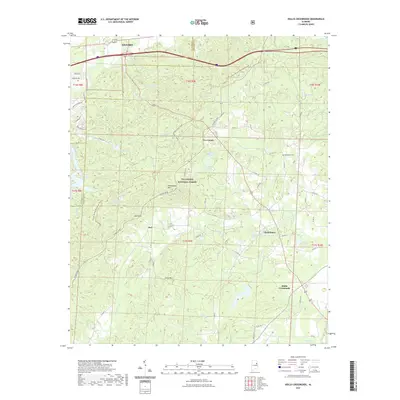 2021 Hollis Crossroads2021 Print · USGSEastern Alabama's forested ridges and rural crossroads come into focus during the early twenty-first century, showcasing the intersection of wilderness and settlement. Trace the mountain paths of the Pinhoti National Recreation Trail or locate family roots near Chulafinnee and Bethlehem Cem.
 - 2021 Map of Oxford, 2021 Print
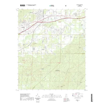 2021 Oxford2021 Print · USGSOxford and southern Anniston are shown here at the start of the 2020s, where urban infrastructure meets the vast Talladega National Forest. Researchers can trace local lineage at Oxford Memorial Gardens Cem or locate old community centers like McAding and Lardent.
 - 2021 Map of Choccolocco, 2021 Print
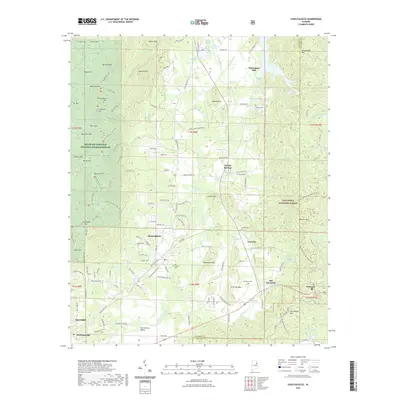 2021 Choccolocco2021 Print · USGSThe Choccolocco Valley in the early 2020s shows a landscape where industrial history and conservation meet. Researchers can trace the legacy of rural settlements at Old Davisville and Choccolocco or locate the historic Whitesides Mill and Davistown Cem.
 - 2024 Map of Ragland, 2024 Print
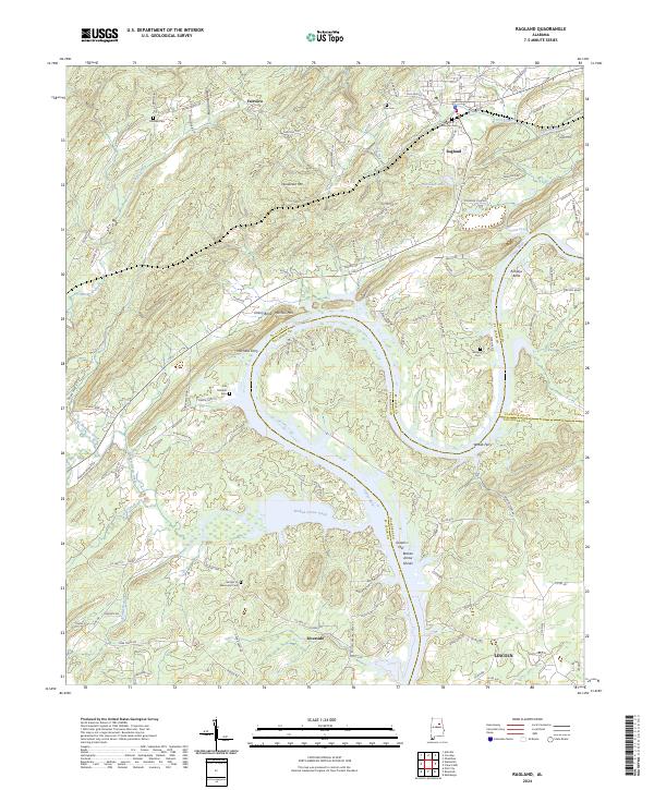 2024 Ragland2024 Print · USGSThe Coosa River valley in Alabama is shown here during a period of modern transit and enduring rural landmarks. Genealogists and local historians can trace the locations of Mitchells Ferry, the industrial site at Greens Mill, and family burial grounds like Wester Cem.
 - 2024 Map of Eastaboga, 2024 Print
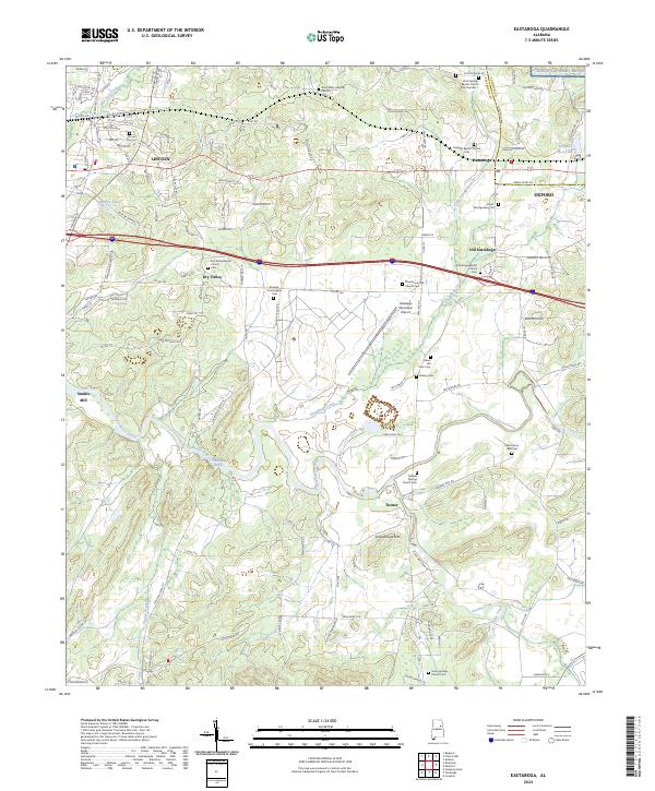 2024 Eastaboga2024 Print · USGSThis Alabama quadrangle captures the convergence of Talladega and Calhoun counties in recent years. Genealogists and historians can trace family-named sites like the Allen Elston 1860 Cem, Smiths Mill, and Sunlight Baptist Church.
 - 2024 Map of Francis Mill, 2024 Print
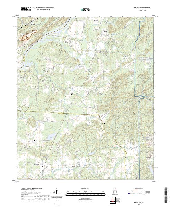 2024 Francis Mill2024 Print · USGSThe Coosa River and eastern military ranges frame this Alabama landscape in the early 2020s. Researchers can trace local heritage through landmarks like Martins Mill, the Refuge Baptist Church Cem, and the historic crossing at Fombys Ferry.
 - 2024 Map of Munford, 2024 Print
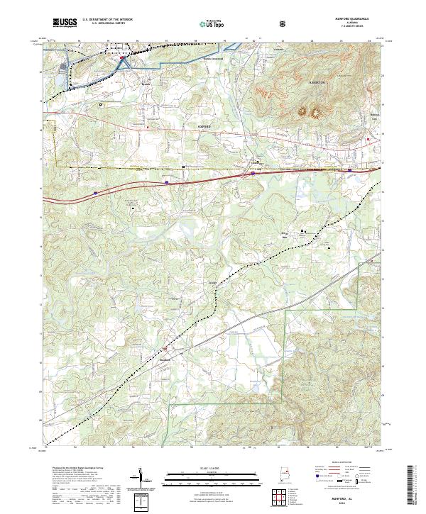 2024 Munford2024 Print · USGSTalladega County is shown at its modern intersection of forest and industry in this 2020s survey. Genealogists can trace family sites like Miller Family Cem and the New Lebanon Cem near Silver Run.
 - 2024 Map of Colvin Gap, 2024 Print
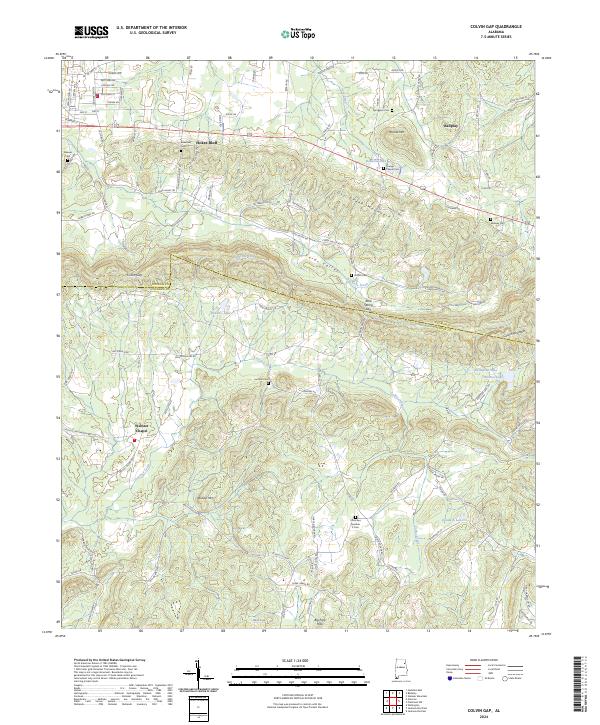 2024 Colvin Gap2024 Print · USGSNortheast Alabama's ridge-and-valley landscape is documented here in recent years, showing the rural communities of Hokes Bluff and Ballplay. Local historians can trace old family burial grounds like Youngs Chapel Cem and landmarks such as Colvin Gap and Fords Valley.
 - 2024 Map of Oxford, 2024 Print
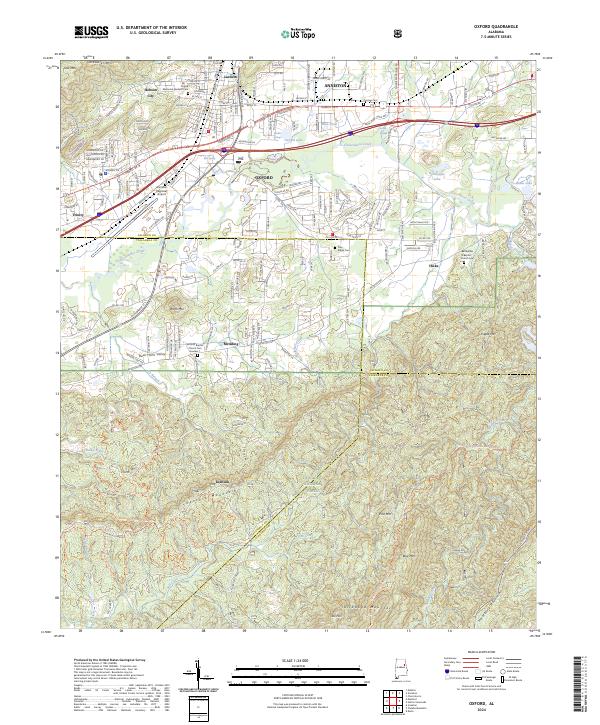 2024 Oxford2024 Print · USGSOxford and Anniston are captured during a period of modern expansion against the backdrop of the Talladega National Forest. Local historians can trace family sites at Antioch Baptist Church Cem Number 1 or follow the path of Choccolocco Creek.
 - 2024 Map of Jacksonville West, 2024 Print
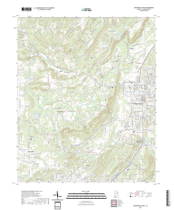 2024 Jacksonville West2024 Print · USGSCalhoun County's western reaches are shown in high detail in the early 2020s, centering on the academic and residential growth of Jacksonville. Genealogists and historians can trace numerous rural burial sites like Seven Springs Cem and landmarks such as Leydens Mill.
Showing maps 1-25 of 37
Top cities of Calhoun County
- Anniston historical maps
- Jacksonville historical maps
- Saks historical maps
- Piedmont historical maps
- Weaver historical maps
- Choccolocco historical maps
See more
Frequently asked questions
- What are the different types of historical maps available for Calhoun County?
- What is the oldest map of Calhoun County?
- Where can I purchase historical maps of Calhoun County for my home or office?
- Where can I download high-res historical maps of Calhoun County?
- Are there historical topographic maps available for Calhoun County?
- Is there historical aerial imagery available for Calhoun County?
- Where are historical maps of Calhoun County sourced from?