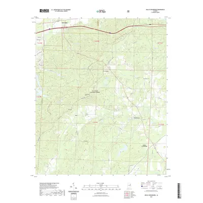
2021 Map of Hollis Crossroads
USGS Topo · Published 2021About this map
The Talladega National Forest dominates the southern half of this landscape, where the ridges of Horseblock Mtn and Ivory Mtn provide significant vertical relief. These highlands are bisected by the Pinhoti National Recreation Trail, which winds through Abel Gap before continuing north toward the boundary of Oxford. The mapping reveals a transition from the structured residential outskirts of the city to the rural communities and forest lands of Cleburne and Calhoun Counties.
Find a feature on this map
69 named features on this map. Tap any name to fly to it.
Don’t see what you’re looking for? This feature index may not catch every label — zoom into the map to look around manually.
Map Details
Editions of this 2021 Hollis Crossroads Map
This is the sole edition of this map. No revisions or reprints were ever made.
Other maps of this area

1891 · Ashland
USGS Topo · 1:125,000

1900 · Anniston
USGS Topo · 1:125,000

1947 · Oxford
USGS Topo · 1:24,000

1947 · Anniston
USGS Topo · 1:24,000

1950 · Anniston
USGS Topo · 1:62,500

1953 · Atlanta
USGS Topo · 1:250,000

1954 · Choccolocco
USGS Topo · 1:24,000

1956 · Oxford
USGS Topo · 1:24,000

1956 · Anniston
USGS Topo · 1:24,000

1957 · Atlanta
USGS Topo · 1:250,000