Old Maps of Jacksonville, Alabama for Hiking & Exploration
Hike through history with 21 historic maps of Jacksonville. Explore old trails, ghost towns, and forgotten backroads — perfect for outdoor adventurers and local explorers.
- Rediscover forgotten places: Map out old mining camps, roads, and footpaths that no longer exist on modern maps.
- Layer with modern tools: Combine with LiDAR or satellite views to plan hikes through historical terrain.
- Made for exploration: Popular among hikers, overlanders, and local history lovers.
Use these maps to find adventure and explore the hidden past of Jacksonville.
Jacksonville, AL maps
(21)- 1900 Map of Anniston
 1900 Anniston1900 Print · USGSNortheast Alabama thrived as a railroad and industrial crossroads at the turn of the century. Genealogists and researchers can trace family landmarks and early transport hubs from the Coosa River to Anniston, including Salt Creek Church and Fowler Ferry.6 unique versions available
 - 1947 Map of Jacksonville, 1953 Print
 1947 Jacksonville1953 Print · USGSPost-war Calhoun County comes alive through this mid-century survey of the Jacksonville area and its railway junctions. Genealogists can locate family landmarks like Munger Cem and Post Oak Springs Ch along the winding Tallahatchee Creek.
 - 1947 Map of Jacksonville, 1953 Print
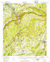 1947 Jacksonville1953 Print · USGSPostwar Etowah and Calhoun counties show a unique mix of expanding industrial centers and deeply rooted rural communities. Local historians can trace early school sites like Webster Sch and long-standing spiritual hubs such as Tredegar Chapel or Friendship Ch.
 - 1953 Map of Atlanta, 1965 Print
 1953 Atlanta1965 Print · USGSThe growing Atlanta metro and the industrial corridors of Eastern Alabama are captured here during the mid-century transition. Researchers can trace the rail-to-road shift through hubs like Anniston and La Grange or locate sites within Fort McClellan.2 unique versions available
 - 1956 Map of Jacksonville, 1960 Print
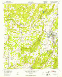
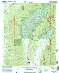
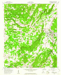 1956 Jacksonville1960 Print · USGSMid-century Jacksonville and the surrounding Alabama countryside show a landscape transitioning from rural hamlets to an institutional and rail hub. Trace the growth of the State Teachers College or locate long-standing landmarks like Leydens Mill and Angel Grove Ch.3 unique versions available
 - 1957 Map of Atlanta
 1957 Atlanta1957 Print · USGSAtlanta and the Alabama borderlands appear here in the mid-fifties, capturing the region's post-war suburban and industrial transition. Trace the development of early transport hubs and military sites like Fort McPherson, Anniston, and the Kennesaw Mountain National Battlefield Park.
 - 1958 Map of Atlanta
 1958 Atlanta1958 Print · USGSMid-century Georgia and Alabama are shown in this regional study of the corridor between the Chattahoochee River and the Appalachian foothills. Local historians can trace the development of suburban Atlanta alongside vital landmarks like Stone Mountain, Dobbins AFB, and the Seaboard Air Line rail routes.
 - 1967 Map of Jacksonville East, 1970 Print
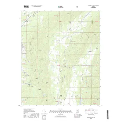
 1967 Jacksonville East1970 Print · USGSNortheast Calhoun County's ridges and rail junctions are documented here during the late sixties. Trace family history through Salem Ch and McCain Cem, or follow the industrial legacy of the Southern Railway through Merrelton.4 unique versions available
 - 1975 Map of Jacksonville East, 1977 Print
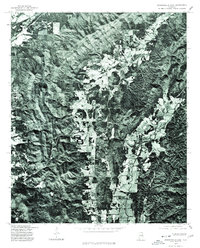 1975 Jacksonville East1977 Print · USGSCalhoun County comes into clear focus in the mid-seventies through this detailed aerial orthophotograph. Researchers can trace the agricultural footprint of White Plains and the winding course of Nances Creek as they appeared decades ago.
 - 1981 Map of Anniston, 1982 Print
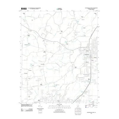
 1981 Anniston1982 Print · USGSNortheast Alabama and the Georgia borderlands come alive in the early eighties, showing a landscape of heavy industry, military outposts, and mountain forests. Genealogists and historians can trace the development of towns like Anniston and Carrollton, or locate landmarks such as Whitesides Mill and Webster Chapel.2 unique versions available
 - 2001 Map of Jacksonville East, 2004 Print
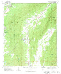
 2001 Jacksonville East2004 Print · USGSCalhoun County's eastern ridges and forest lands are shown here at the turn of the millennium as rural life met expanding conservation areas. Genealogists can locate family landmarks like Booger Cem, Holley Crossroads, and Oak Grove Ch tucked between the peaks.
 - 2011 Map of Jacksonville East, 2011 Print
 2011 Jacksonville East2011 Print · USGSCovers Jacksonville, including Nances Creek, Holley Crossroads, and other nearby areas
 - 2011 Map of Jacksonville West, 2011 Print
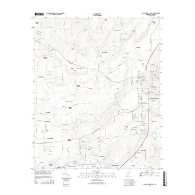
 2011 Jacksonville West2011 Print · USGSCovers Jacksonville, including Anniston, Weaver, and other nearby areas
 - 2014 Map of Jacksonville West, 2014 Print
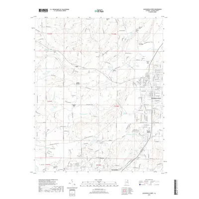
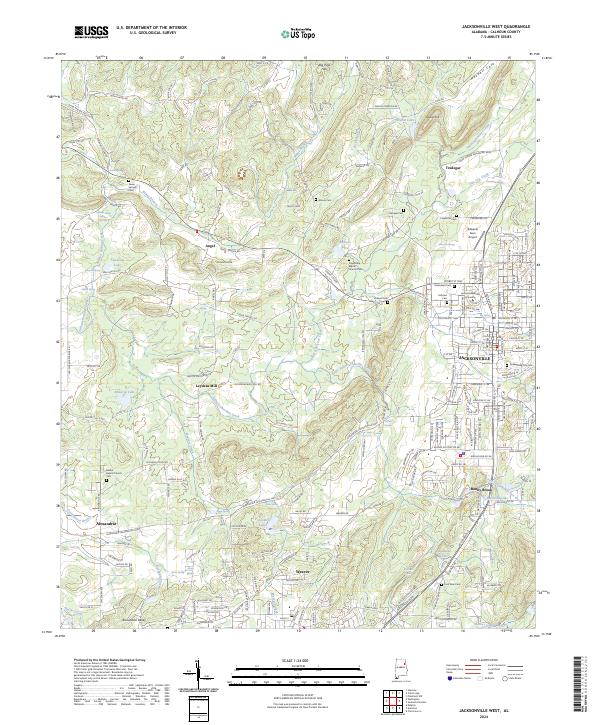
 2014 Jacksonville West2014 Print · USGSCovers Jacksonville, including Anniston, Weaver, and other nearby areas
 - 2014 Map of Jacksonville East, 2014 Print
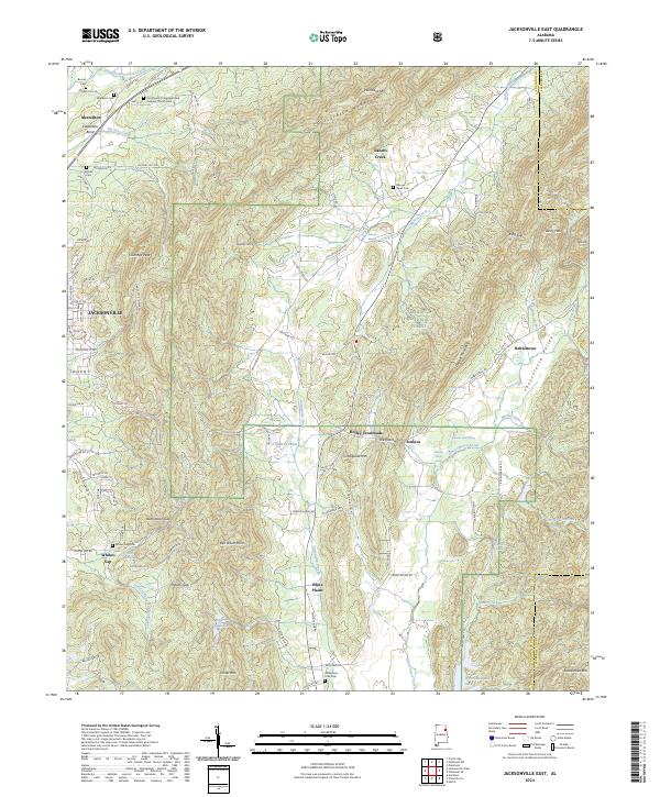
 2014 Jacksonville East2014 Print · USGSCovers Jacksonville, including Nances Creek, Holley Crossroads, and other nearby areas
 - 2018 Map of Jacksonville West, 2018 Print
 2018 Jacksonville West2018 Print · USGSCovers Jacksonville, including Anniston, Weaver, and other nearby areas
 - 2018 Map of Jacksonville East, 2018 Print
 2018 Jacksonville East2018 Print · USGSCovers Jacksonville, including Nances Creek, Holley Crossroads, and other nearby areas
 - 2020 Map of Jacksonville West, 2020 Print
 2020 Jacksonville West2020 Print · USGSCovers Jacksonville, including Anniston, Weaver, and other nearby areas
 - 2021 Map of Jacksonville East, 2021 Print
 2021 Jacksonville East2021 Print · USGSCovers Jacksonville, including Nances Creek, Holley Crossroads, and other nearby areas
 - 2024 Map of Jacksonville West, 2024 Print
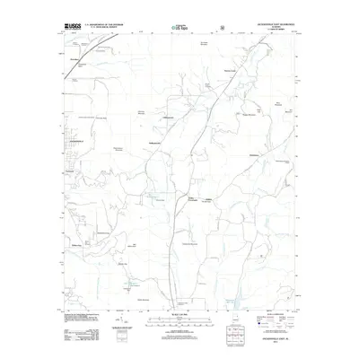
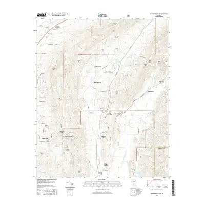
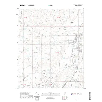
 2024 Jacksonville West2024 Print · USGSCalhoun County's western reaches are shown in high detail in the early 2020s, centering on the academic and residential growth of Jacksonville. Genealogists and historians can trace numerous rural burial sites like Seven Springs Cem and landmarks such as Leydens Mill.
 - 2024 Map of Jacksonville East, 2024 Print
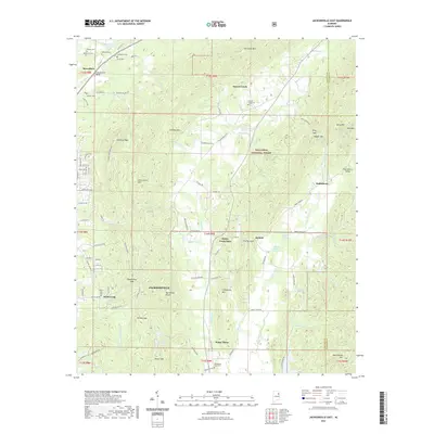
 2024 Jacksonville East2024 Print · USGSNortheastern Alabama’s ridgelines and valleys are charted here in the current era, showing the intersection of forest wilderness and rural life. Genealogists can locate family landmarks like the Williamson - Little Cem and early settlements such as Rabbittown and White Plains.
End of results
Showing maps 1-21 of 21
Top cities near Jacksonville
- Gadsden historical maps
- Oxford historical maps
- Anniston historical maps
- Saks historical maps
- Glencoe historical maps
- Piedmont historical maps
See more
Top neighborhoods of Jacksonville
Frequently asked questions
- What are the different types of historical maps available for Jacksonville?
- What is the oldest map of Jacksonville?
- Where can I purchase historical maps of Jacksonville for my home or office?
- Where can I download high-res historical maps of Jacksonville?
- Are there historical topographic maps available for Jacksonville?
- Is there historical aerial imagery available for Jacksonville?
- Where are historical maps of Jacksonville sourced from?