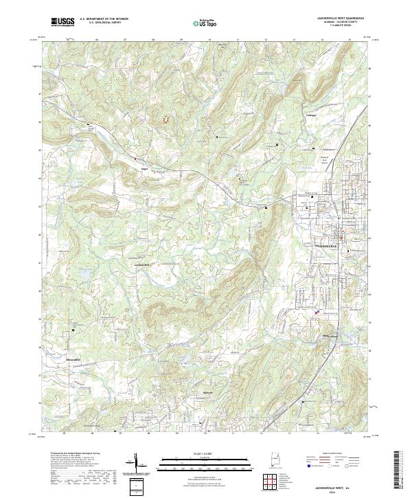
2024 Map of Jacksonville West
USGS Topo · Published 2024About this map
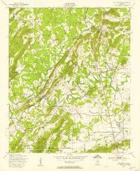
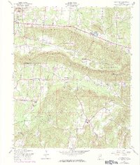
Tallasseehatchee Creek and its many tributaries, including Rabes Branch and Sulphur Springs Creek, dominate the drainage of this Calhoun County landscape. The settlement pattern is defined by the larger hubs of Jacksonville, Alexandria, and Weaver, while smaller communities like Angel and Tredegar maintain their rural character. This modern survey illustrates the enduring presence of local landmarks such as Leydens Mill and the expansive campus of Jacksonville State University.
Find a feature on this map
231 named features on this map. Tap any name to fly to it.
Don’t see what you’re looking for? This feature index may not catch every label — zoom into the map to look around manually.
Map Details
Editions of this 2024 Jacksonville West Map
This is the sole edition of this map. No revisions or reprints were ever made.
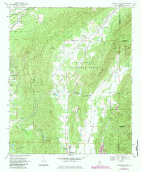
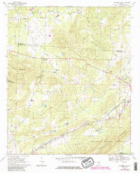
Historical Maps of Jacksonville Through Time
21 maps found
1947 Colvin Gap
Calhoun County, AL
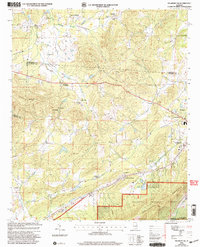
1947 Eulaton
Calhoun County, AL
1947 Francis Mill
Calhoun County, AL
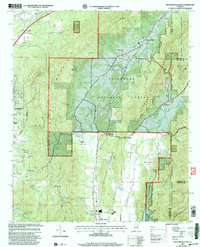
1947 Wellington
Calhoun County, AL
1956 Eulaton
Calhoun County, AL
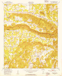
1956 Jacksonville West
Calhoun County, AL
1956 Wellington
Calhoun County, AL
1957 Colvin Gap
Calhoun County, AL
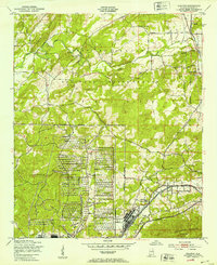
1967 Jacksonville East
Calhoun County, AL
1967 Piedmont NW
Calhoun County, AL

1975 Francis Mill
Calhoun County, AL
1975 Jacksonville East
Calhoun County, AL
2001 Jacksonville East
Calhoun County, AL
2001 Piedmont NW
Calhoun County, AL
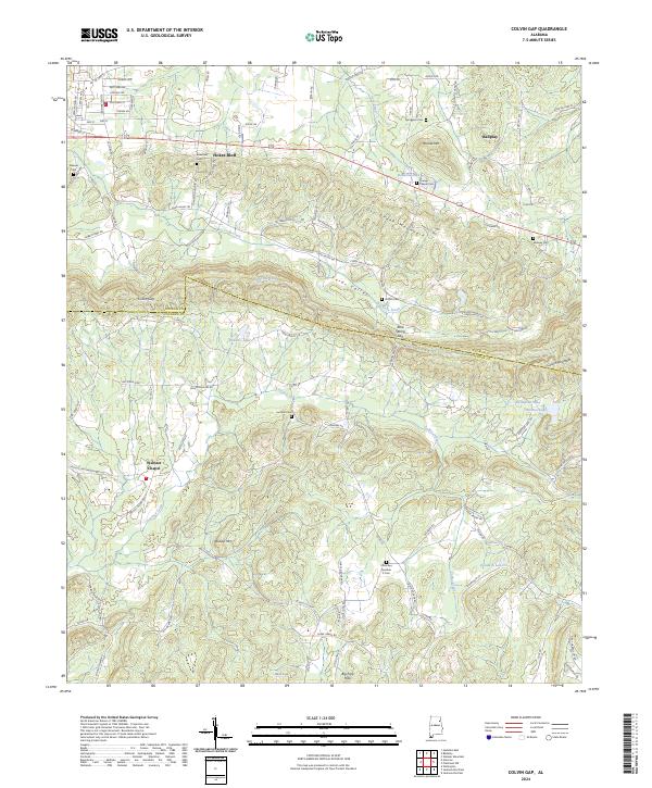
2024 Colvin Gap
Calhoun County, AL
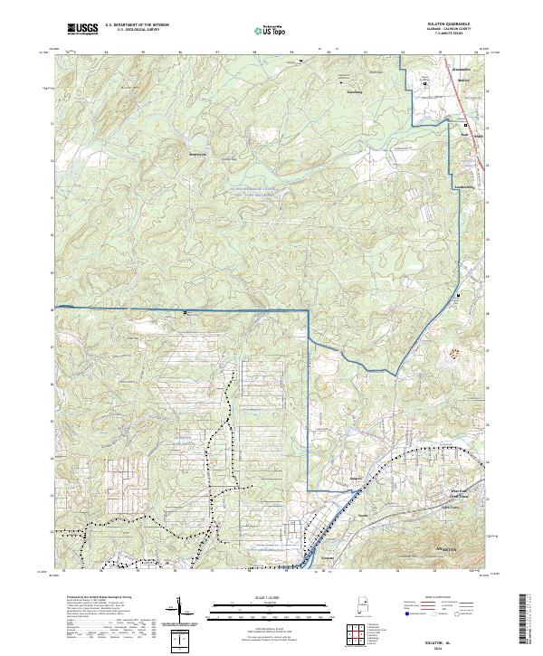
2024 Eulaton
Calhoun County, AL
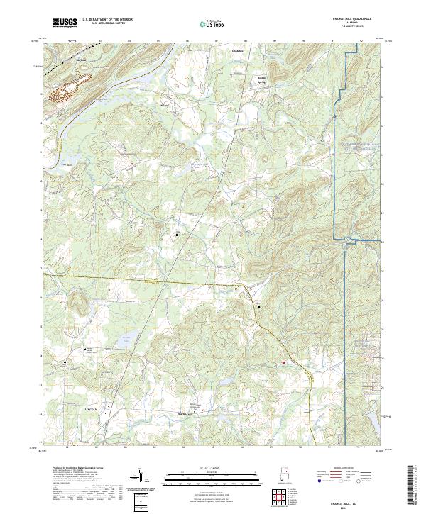
2024 Francis Mill
Calhoun County, AL
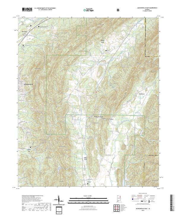
2024 Jacksonville East
Calhoun County, AL
2024 Jacksonville West
Calhoun County, AL
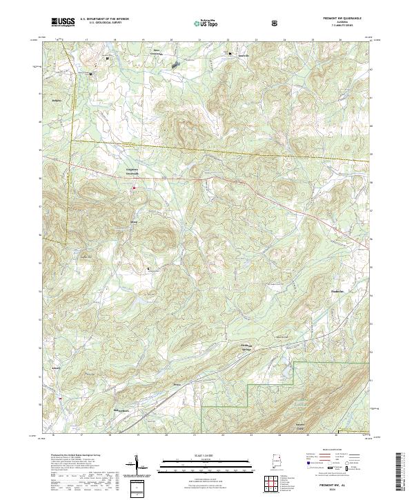
2024 Piedmont NW
Calhoun County, AL
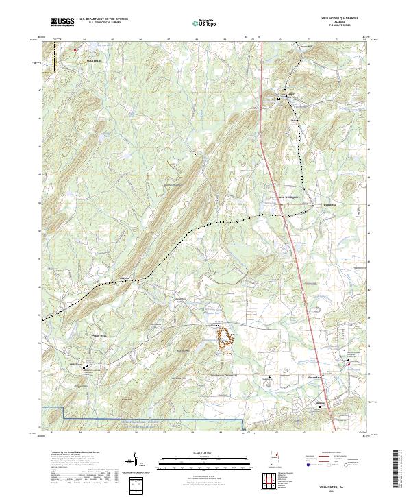
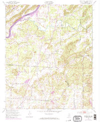
2024 Wellington
Calhoun County, AL