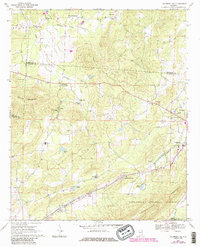
1967 Map of Piedmont NW
USGS Topo · Published 1985About this map
The boundary lines of Calhoun, Etowah, and Cherokee Counties meet in this upland landscape, where rural communities like Estes Crossroads and Knightens Crossroads anchored life in the late 1960s. The northern reaches are defined by the winding course of Ballplay Creek and Little Ballplay Creek, while the southern portion transitions into the protected woods of the Talladega National Forest. Local industry and infrastructure are evident in the multiple Claypit sites and the convergence of the Seaboard Coast Line and Southern Railway near Maxwellborn.
Find a feature on this map
40 named features on this map. Tap any name to fly to it.
Don’t see what you’re looking for? This feature index may not catch every label — zoom into the map to look around manually.
Map Details
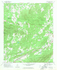
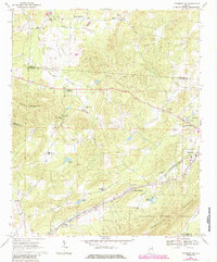
Editions of this 1967 Piedmont NW Map
3 editions found
Other maps of this area

1893 · Fort Payne
USGS Topo · 1:125,000

1898 · Fort Payne
USGS Topo · 1:125,000

1900 · Fort Payne
USGS Topo · 1:125,000

1900 · Anniston
USGS Topo · 1:125,000

1947 · Colvin Gap
USGS Topo · 1:24,000

1947 · Jacksonville
USGS Topo · 1:24,000

1947 · Jacksonville
USGS Topo · 1:62,500

1953 · Atlanta
USGS Topo · 1:250,000

1955 · Rome
USGS Topo · 1:250,000
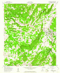
1956 · Jacksonville
USGS Topo · 1:24,000