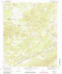
1967 Map of Piedmont NW
USGS Topo · Published 1985About this map
Colvin Mountain and the rising slopes of Choccolocco Mountain define the topography of this corner of northeast Alabama. The map records a landscape anchored by small crossroads settlements and rural congregations, from Estes Crossroads in the north to the railway-adjacent community at Maxwellborn in the south. The southern edge of the sheet is dominated by the Talladega National Forest, where Nances Creek winds through the valley floor.
Find a feature on this map
41 named features on this map. Tap any name to fly to it.
Don’t see what you’re looking for? This feature index may not catch every label — zoom into the map to look around manually.
Map Details
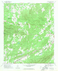
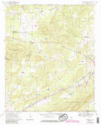
Editions of this 1967 Piedmont NW Map
3 editions found
Other maps of this area

1893 · Fort Payne
USGS Topo · 1:125,000

1898 · Fort Payne
USGS Topo · 1:125,000

1900 · Fort Payne
USGS Topo · 1:125,000

1900 · Anniston
USGS Topo · 1:125,000

1947 · Colvin Gap
USGS Topo · 1:24,000

1947 · Jacksonville
USGS Topo · 1:24,000

1947 · Jacksonville
USGS Topo · 1:62,500

1953 · Atlanta
USGS Topo · 1:250,000

1955 · Rome
USGS Topo · 1:250,000
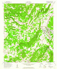
1956 · Jacksonville
USGS Topo · 1:24,000