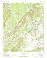
1956 Map of Wellington
USGS Topo · Published 1973About this map
Wellington and its neighboring agricultural communities in Calhoun Co reflect a mid-century landscape defined by rural centers and vital transit lines. The area is intersected by the Seaboard Coast Line and Louisville and Nashville railroads, which facilitated the movement of goods and people between settlements like Duke, Laney, and Alexandria. In the southern portion of the map, the Fort McClellan Military Reservation occupies a significant portion of the terrain, while the northern reaches are dominated by the winding path of Ohatchee Creek. Historical landmarks such as Reads Mill and several country churches, including Hebron Ch and Peeks Hill Ch, suggest established community life centered around local water sources and transportation hubs. Local recreation and athletics are evidenced by the Crystal Springs Speedway and an Athletic Field near Alexandria, providing a detailed view of the region's social and economic structure during this period.
Find a feature on this map
42 named features on this map. Tap any name to fly to it.
Don’t see what you’re looking for? This feature index may not catch every label — zoom into the map to look around manually.
Map Details
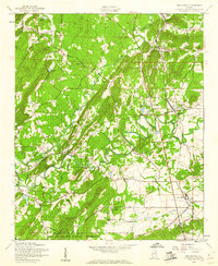
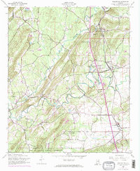
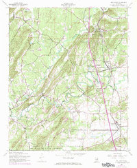
Editions of this 1956 Wellington Map
4 editions found
Other maps of this area

1889 · Springville
USGS Topo · 1:125,000

1892 · Springville
USGS Topo · 1:125,000

1900 · Anniston
USGS Topo · 1:125,000

1947 · Anniston
USGS Topo · 1:24,000

1947 · Dunaway Mountain
USGS Topo · 1:24,000

1947 · Ragland
USGS Topo · 1:62,500

1947 · Colvin Gap
USGS Topo · 1:24,000

1947 · Jacksonville
USGS Topo · 1:24,000

1947 · Glencoe
USGS Topo · 1:24,000

1947 · Wellington
USGS Topo · 1:24,000