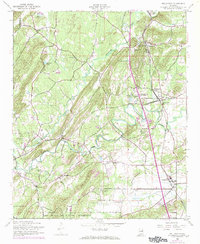
1956 Map of Wellington
USGS Topo · Published 1973About this map
Ohatchee Creek and the Tallasseehatchee Creek converge in this mid-century landscape of northern Alabama, where the topography is defined by the prominent Mountain ridge running southwest to northeast. The rural economy of the 1950s is evidenced by the concentrated rail activity around Wellington, where the Louisville and Nashville and Seaboard Coast Line railroads intersect. This junction, along with the nearby settlements of West Wellington and Duke, highlights a period when small-town rail commerce remained central to local life.
Find a feature on this map
35 named features on this map. Tap any name to fly to it.
Don’t see what you’re looking for? This feature index may not catch every label — zoom into the map to look around manually.
Map Details
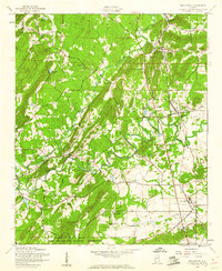
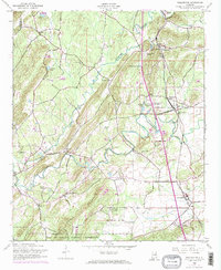
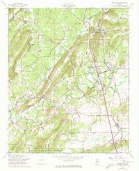
Editions of this 1956 Wellington Map
4 editions found
Other maps of this area

1889 · Springville
USGS Topo · 1:125,000

1892 · Springville
USGS Topo · 1:125,000

1900 · Anniston
USGS Topo · 1:125,000

1947 · Anniston
USGS Topo · 1:24,000

1947 · Dunaway Mountain
USGS Topo · 1:24,000

1947 · Ragland
USGS Topo · 1:62,500

1947 · Colvin Gap
USGS Topo · 1:24,000

1947 · Jacksonville
USGS Topo · 1:24,000

1947 · Glencoe
USGS Topo · 1:24,000

1947 · Wellington
USGS Topo · 1:24,000