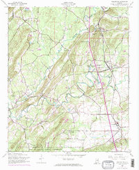
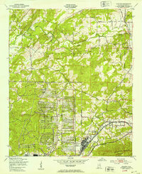
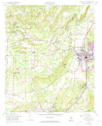
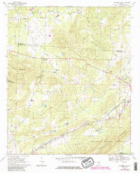
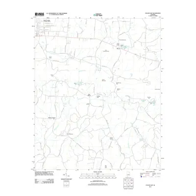
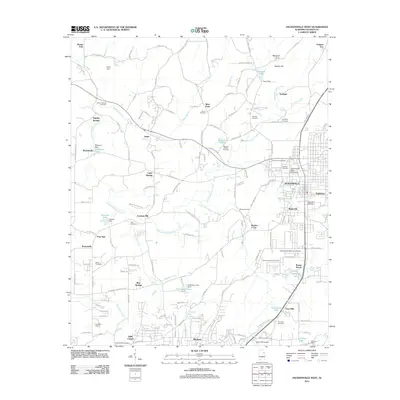
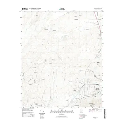
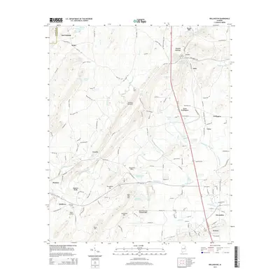
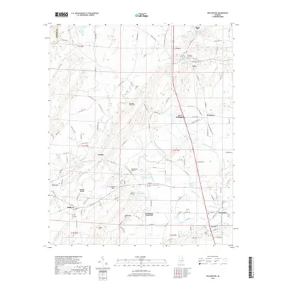
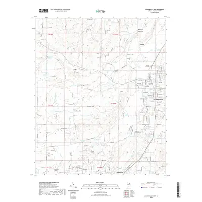
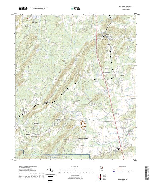
1956 Map of Wellington
USGS Topo · Published 1973About this map
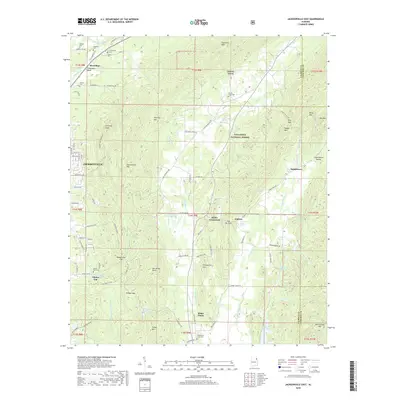
Ohatchee Creek and Tallasseehatchee Creek converge in this mid-century portrait of Calhoun County, Alabama. The landscape is defined by the heavy rail infrastructure of the Louisville and Nashville and Seaboard Coast Line railroads, which intersect near the community of Wellington. This junction served as a vital node for moving goods and people across the region. Further south, the map documents the northern boundary of the Fort McClellan Military Reservation, illustrating the intersection of civilian life and federal military expansion.
Find a feature on this map
40 named features on this map. Tap any name to fly to it.
Don’t see what you’re looking for? This feature index may not catch every label — zoom into the map to look around manually.
Map Details
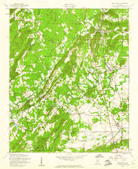
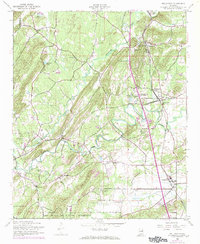
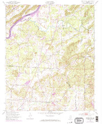
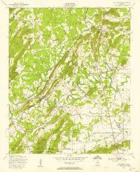
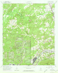
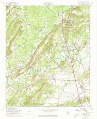
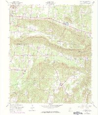
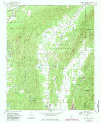
Editions of this 1956 Wellington Map
4 editions found
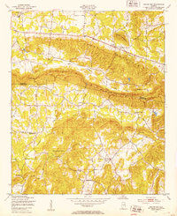
Historical Maps of Southside Through Time
50 maps found
1947 Colvin Gap
Calhoun County, AL
1947 Eulaton
Calhoun County, AL
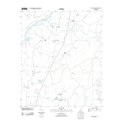
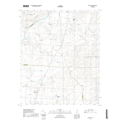
1947 Francis Mill
Calhoun County, AL
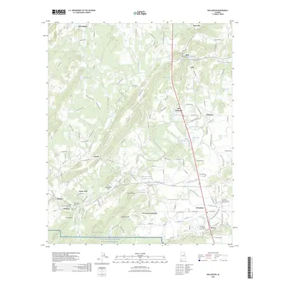
1947 Wellington
Calhoun County, AL
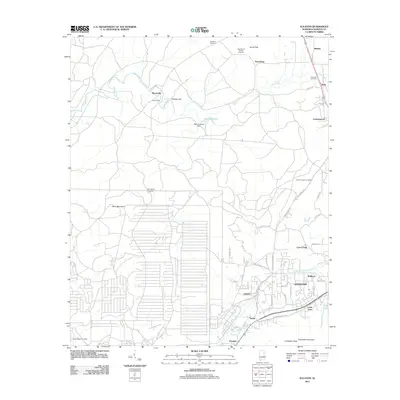
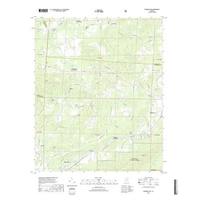
1956 Eulaton
Calhoun County, AL
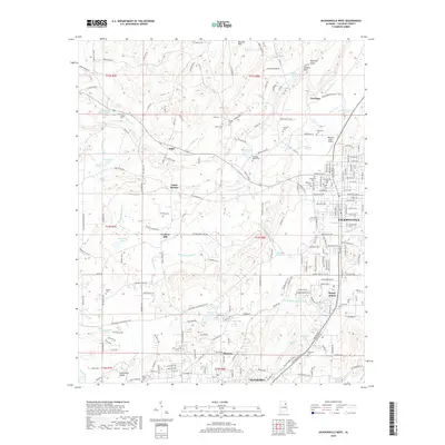
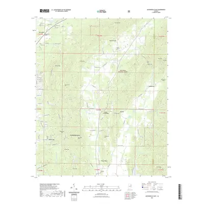
1956 Jacksonville West
Calhoun County, AL
1956 Wellington
Calhoun County, AL
1957 Colvin Gap
Calhoun County, AL
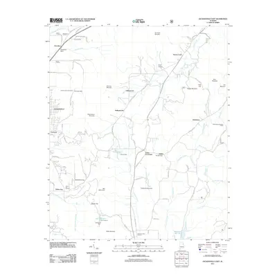
1967 Jacksonville East
Calhoun County, AL
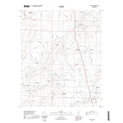
1967 Piedmont NW
Calhoun County, AL

1975 Francis Mill
Calhoun County, AL
1975 Jacksonville East
Calhoun County, AL
2001 Jacksonville East
Calhoun County, AL
2001 Piedmont NW
Calhoun County, AL
2011 Colvin Gap
Calhoun County, AL
2011 Eulaton
Calhoun County, AL
2011 Francis Mill
Calhoun County, AL
2011 Jacksonville East
Calhoun County, AL
2011 Jacksonville West
Calhoun County, AL
2011 Piedmont NW
Calhoun County, AL
2011 Wellington
Calhoun County, AL
2014 Colvin Gap
Calhoun County, AL
2014 Eulaton
Calhoun County, AL
2014 Francis Mill
Calhoun County, AL
2014 Jacksonville East
Calhoun County, AL
2014 Jacksonville West
Calhoun County, AL
2014 Piedmont NW
Calhoun County, AL
2014 Wellington
Calhoun County, AL
2018 Colvin Gap
Calhoun County, AL
2018 Eulaton
Calhoun County, AL
2018 Francis Mill
Calhoun County, AL
2018 Jacksonville East
Calhoun County, AL
2018 Jacksonville West
Calhoun County, AL
2018 Piedmont NW
Calhoun County, AL
2018 Wellington
Calhoun County, AL
2020 Colvin Gap
Calhoun County, AL
2020 Eulaton
Calhoun County, AL
2020 Francis Mill
Calhoun County, AL
2020 Jacksonville West
Calhoun County, AL
2020 Wellington
Calhoun County, AL
2021 Jacksonville East
Calhoun County, AL
2021 Piedmont NW
Calhoun County, AL
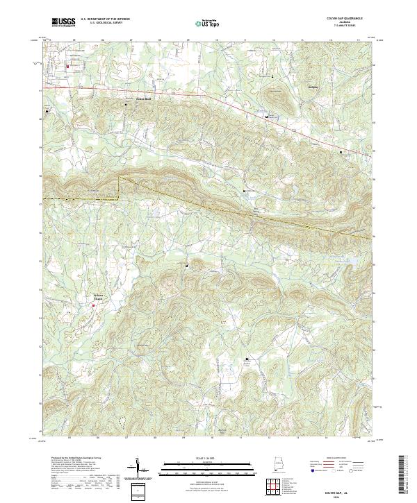
2024 Colvin Gap
Calhoun County, AL
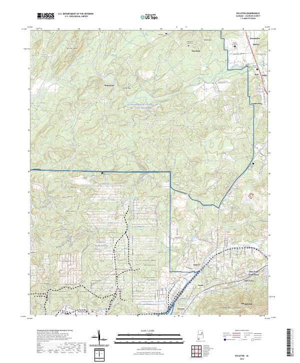
2024 Eulaton
Calhoun County, AL
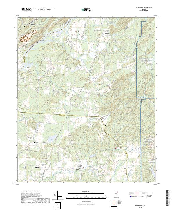
2024 Francis Mill
Calhoun County, AL
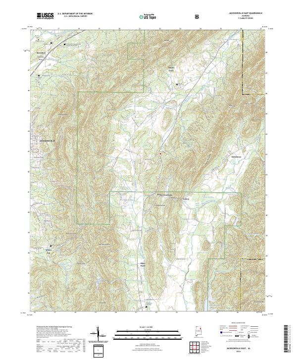
2024 Jacksonville East
Calhoun County, AL
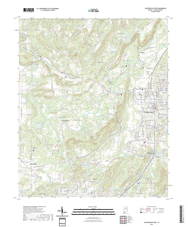
2024 Jacksonville West
Calhoun County, AL
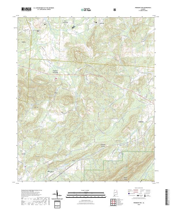
2024 Piedmont NW
Calhoun County, AL
2024 Wellington
Calhoun County, AL
2026 Wellington
Calhoun County, AL