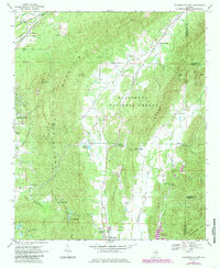
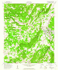
1967 Map of Jacksonville East
USGS Topo · Published 1985About this map
Choccolocco Mountain and Dugger Mountain dominate this terrain, shaping the settlement patterns of northeastern Alabama. Between these ridges, rural life is marked by small communities like Holley Crossroads and Rabbittown, often centered around country churches such as Salem Ch and Oak Grove Ch. The map highlights a landscape in transition, where the Talladega National Forest and Choccolocco Wildlife Management Area preserve large tracts of timberland alongside industrial markers like the Cave Mine and various quarries.
Find a feature on this map
54 named features on this map. Tap any name to fly to it.
Don’t see what you’re looking for? This feature index may not catch every label — zoom into the map to look around manually.
Map Details
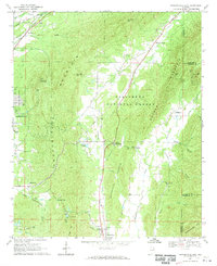
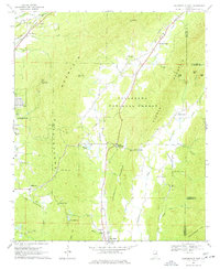
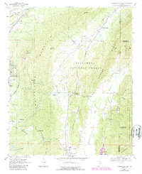
Editions of this 1967 Jacksonville East Map
4 editions found
Other maps of this area

1900 · Anniston
USGS Topo · 1:125,000

1947 · Anniston
USGS Topo · 1:24,000

1947 · Colvin Gap
USGS Topo · 1:24,000

1947 · Jacksonville
USGS Topo · 1:24,000

1947 · Jacksonville
USGS Topo · 1:62,500

1950 · Anniston
USGS Topo · 1:62,500

1953 · Atlanta
USGS Topo · 1:250,000

1954 · Choccolocco
USGS Topo · 1:24,000

1956 · Anniston
USGS Topo · 1:24,000
1956 · Jacksonville
USGS Topo · 1:24,000