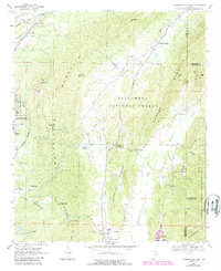
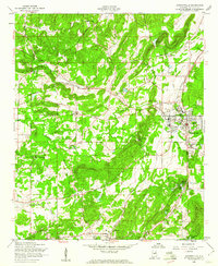
1967 Map of Jacksonville East
USGS Topo · Published 1984About this map
Choccolocco Mountain and Dugger Mountain dominate this landscape northeast of Jacksonville, where the industrial and agrarian histories of Calhoun County converge. The eastern edge of the city is visible near Eastwood High School, while the surrounding terrain is defined by the Talladega National Forest and the Choccolocco Wildlife Management Area. Transport networks of the late 1960s are clearly marked, including the junction of the Seaboard Coast Line and Southern Railway near Merrelton. Evidence of local industry and rural life appears in the numerous Gravel Pits, a Quarry, and the Cave Mine near Berry Mountain. Small communities like Holley Crossroads and Rabbittown serve as anchors for researchers tracing family history through landmarks such as Boozer Cemetery and Friendship Church.
Find a feature on this map
48 named features on this map. Tap any name to fly to it.
Don’t see what you’re looking for? This feature index may not catch every label — zoom into the map to look around manually.
Map Details
Editions of this 1967 Jacksonville East Map
4 editions found
Other maps of this area

1900 · Anniston
USGS Topo · 1:125,000

1947 · Anniston
USGS Topo · 1:24,000

1947 · Colvin Gap
USGS Topo · 1:24,000

1947 · Jacksonville
USGS Topo · 1:24,000

1947 · Jacksonville
USGS Topo · 1:62,500

1950 · Anniston
USGS Topo · 1:62,500

1953 · Atlanta
USGS Topo · 1:250,000

1954 · Choccolocco
USGS Topo · 1:24,000

1956 · Anniston
USGS Topo · 1:24,000
1956 · Jacksonville
USGS Topo · 1:24,000