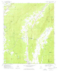
1967 Map of Jacksonville East
USGS Topo · Published 1977About this map
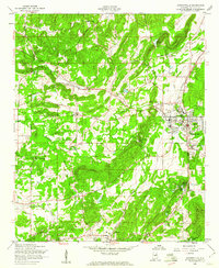
The eastern edges of Jacksonville and the agricultural lands toward White Plains define this mid-1960s survey of Calhoun and Cleburne counties. The landscape is dominated by the ridges of Dugger Mountain and Chimney Mtn, which frame the protected wilderness of the Talladega National Forest. In the valley to the west, the Southern Railway and Seaboard Coast Line intersect near Merrellton, illustrating the importance of rail transport for this region. Local history is deeply embedded in the rural landscape, from small settlements like Rabbittown and Holley Crossroads to gathering places like Salem Ch and Camp Cottaquilla. Along the eastern ridge, the Cave Mine and various Gravel Pits indicate the area's extractive resources, while numerous family-named burial sites such as Boozer Cem and McCain Cem offer vital clues for genealogical research in this part of Alabama.
Find a feature on this map
51 named features on this map. Tap any name to fly to it.
Don’t see what you’re looking for? This feature index may not catch every label — zoom into the map to look around manually.
Map Details
Editions of this 1967 Jacksonville East Map
4 editions found
Other maps of this area

1900 · Anniston
USGS Topo · 1:125,000

1947 · Anniston
USGS Topo · 1:24,000

1947 · Colvin Gap
USGS Topo · 1:24,000

1947 · Jacksonville
USGS Topo · 1:24,000

1947 · Jacksonville
USGS Topo · 1:62,500

1950 · Anniston
USGS Topo · 1:62,500

1953 · Atlanta
USGS Topo · 1:250,000

1954 · Choccolocco
USGS Topo · 1:24,000

1956 · Anniston
USGS Topo · 1:24,000
1956 · Jacksonville
USGS Topo · 1:24,000