Old Maps of Lanett, Alabama for Academic Research
Study the evolution of Lanett with 25 high-resolution historic maps. Whether you're teaching, researching, or modeling changes in land use, these maps provide essential visual documentation of urban, environmental, and geographic change.
- Analyze long-term change: Track patterns in development, transportation, and natural features.
- Ideal for environmental or urban studies: Support academic projects with primary historical map data.
- Use in the classroom or lab: Educators and researchers rely on these maps to bring historical context to life.
These maps are a powerful tool for teaching, research, and visualizing how Lanett has changed over the decades.
Lanett, AL maps
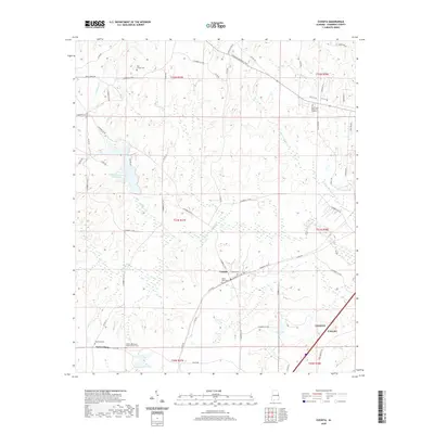
(25)- 1907 Map of Opelika, 1963 Print
 1907 Opelika1963 Print · USGSEastern Alabama and western Georgia come alive in this early 1900s survey of the rail-and-river economy. Genealogists can trace family names at Mitchell Crossroads, find rural landmarks like the Poor Farm, and locate historic river crossings like Dixon Ferry.
 - 1909 Map of Opelika
 1909 Opelika1909 Print · USGSEastern Alabama and western Georgia are seen here in the first decade of the twentieth century as the river-and-rail economy reached its peak. Genealogists and historians can trace old river crossings like Blanton Ferry, rural post offices such as Antioch Church Huckabee P O, and the path of the Chattahoochee Valley railroad.4 unique versions available
 - 1955 Map of Phenix City, 1964 Print
 1955 Phenix City1964 Print · USGSPost-war Alabama and Georgia meet along the Chattahoochee River as industry and military installations expand. Trace the rail lines of the Central of Georgia through towns like Opelika, Tuskegee, and Alexander City.3 unique versions available
 - 1957 Map of Phenix City
 1957 Phenix City1957 Print · USGSThe Alabama-Georgia borderlands are captured here in the mid-fifties, centered on the bustling river crossing at Phenix City and Columbus. Researchers can trace the mid-century footprint of the Fort Benning Military Reservation or locate smaller textile and railroad towns like Langdale and Camp Hill.
 - 1958 Map of Phenix City
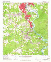
 1958 Phenix City1958 Print · USGSThe Alabama-Georgia borderlands thrive during the late fifties, anchored by the river-driven industry of Columbus and Phenix City. Researchers can trace the mid-century footprints of Fort Benning, Auburn, and the textile towns of Fairfax and Lanett.
 - 1964 Map of Lanett North, 1965 Print
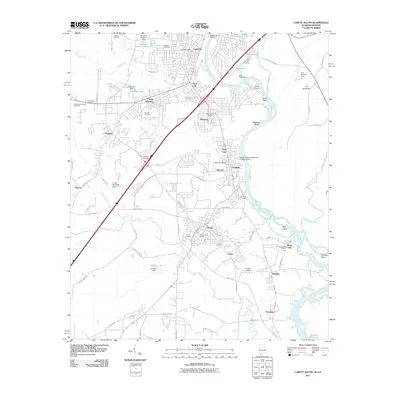
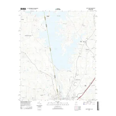
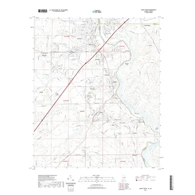
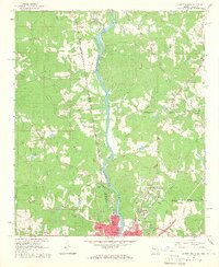 1964 Lanett North1965 Print · USGSThe industrial and civic heart of the Alabama-Georgia border comes into focus in this mid-sixties survey. Local historians can trace the development of Lanett and West Point through sites like Fort Tyler Cem, Harrison High Sch, and the Atlanta and West Point Railroad.4 unique versions available
 - 1964 Map of Lanett South, 1966 Print
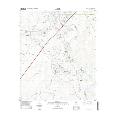
 1964 Lanett South1966 Print · USGSThe industrial corridor of the Chattahoochee Valley comes alive here in the mid-1960s, showing the tight-knit mill towns and rail networks of eastern Alabama. Researchers can trace the legacy of local families through Oak Wood Cem, Huguley Cem, and numerous country churches like Greenwood Ch.4 unique versions available
 - 1971 Map of Cusseta, 1973 Print
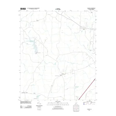
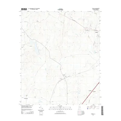
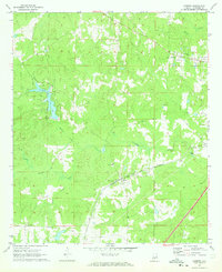 1971 Cusseta1973 Print · USGSCusseta and the hill country of Chambers County appear here in the early 1970s, as the landscape transitioned between traditional agriculture and modern recreation. Researchers can trace the Western Railway of Alabama corridor and locate local landmarks like the Cusseta Sch and Galilee Ch.3 unique versions available
 - 1981 Map of Opelika, 1982 Print
 1981 Opelika1982 Print · USGSEast Alabama and West Georgia appear in the early 1980s as a region defined by massive river reservoirs and the storied textile corridor. Genealogists can trace family roots through the valley towns of Lanett and Fairfax or locate sites near Horseshoe Bend National Military Park.
 - 2011 Map of Lanett North, 2011 Print
 2011 Lanett North2011 Print · USGSCovers Lanett, including West Point, Piedmont Heights, and other nearby areas2 unique versions available
 - 2011 Map of Lanett South, 2011 Print
 2011 Lanett South2011 Print · USGSCovers Lanett, including Valley, West Point, and other nearby areas2 unique versions available
 - 2011 Map of Cusseta, 2011 Print
 2011 Cusseta2011 Print · USGSCovers Lanett, including Valley, Cusseta, and other nearby areas
 - 2014 Map of Lanett South, 2014 Print
 2014 Lanett South2014 Print · USGSCovers Lanett, including Valley, West Point, and other nearby areas
 - 2014 Map of Cusseta, 2014 Print
 2014 Cusseta2014 Print · USGSCovers Lanett, including Valley, Cusseta, and other nearby areas
 - 2014 Map of Lanett North, 2014 Print
 2014 Lanett North2014 Print · USGSCovers Lanett, including West Point, Piedmont Heights, and other nearby areas
 - 2018 Map of Cusseta, 2018 Print
 2018 Cusseta2018 Print · USGSCovers Lanett, including Valley, Cusseta, and other nearby areas
 - 2018 Map of Lanett North, 2018 Print
 2018 Lanett North2018 Print · USGSCovers Lanett, including West Point, Piedmont Heights, and other nearby areas
 - 2018 Map of Lanett South, 2018 Print
 2018 Lanett South2018 Print · USGSCovers Lanett, including Valley, West Point, and other nearby areas
 - 2020 Map of Lanett North, 2020 Print
 2020 Lanett North2020 Print · USGSCovers Lanett, including West Point, Piedmont Heights, and other nearby areas
 - 2020 Map of Cusseta, 2020 Print
 2020 Cusseta2020 Print · USGSCovers Lanett, including Valley, Cusseta, and other nearby areas
 - 2020 Map of Lanett South, 2020 Print
 2020 Lanett South2020 Print · USGSCovers Lanett, including Valley, West Point, and other nearby areas
 - 2024 Map of Lanett North, 2024 Print
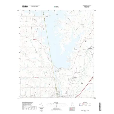
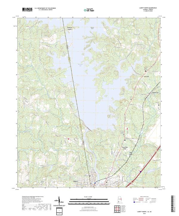 2024 Lanett North2024 Print · USGSSettlements along the Alabama and Georgia border are mapped here in the modern era, centered on the river and its reservoirs. Genealogists can locate Fort Tyler Cem, Traylor Cem, and churches like Long Cane Baptist Church Cem.
 - 2024 Map of Cusseta, 2024 Print
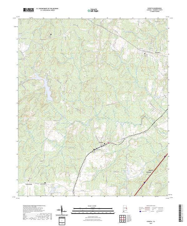 2024 Cusseta2024 Print · USGSChambers County reflects a deep-rooted rural character in the twenty-first century, centered on small crossroads and storied cemeteries. Genealogists can locate family landmarks such as Robertson Cem, Bell Chapel Cem, and the village of Cusseta.
 - 2024 Map of Lanett South, 2024 Print
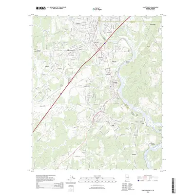
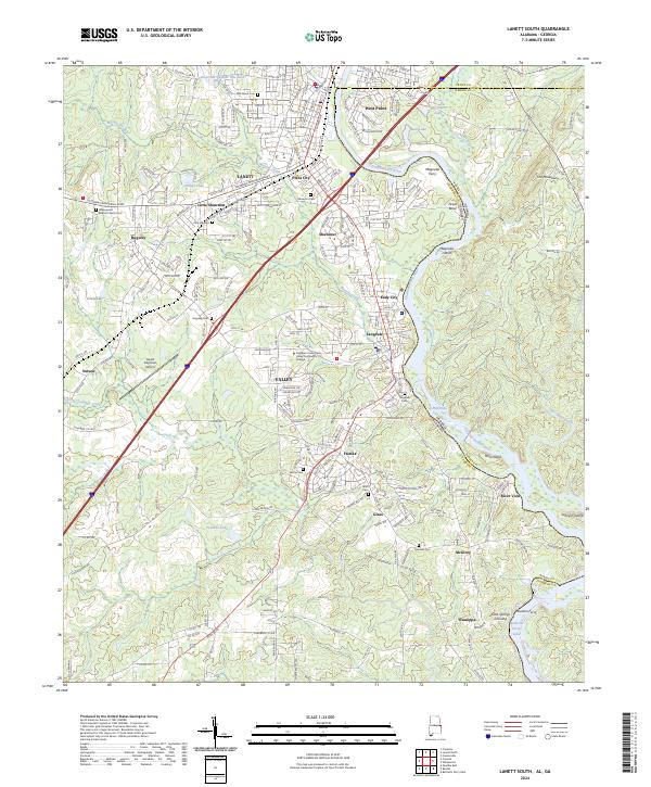 2024 Lanett South2024 Print · USGSThe Chattahoochee River valley comes alive in this survey of Chambers County, where mill towns and river crossings define the borderlands. Genealogists can trace family roots through sites like Greenwood Baptist Church Cem and Pine Hill Cem.
 - 2026 Map of Lanett South, 2026 Print
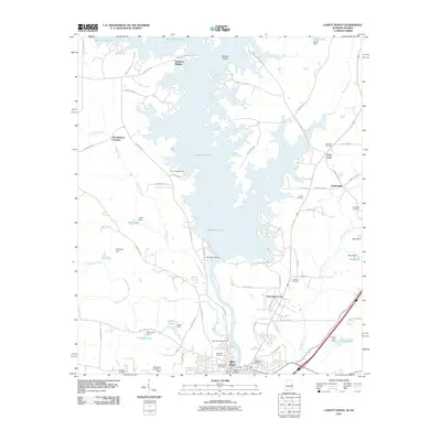
 2026 Lanett South2026 Print · USGSCovers Lanett, including Valley, West Point, and other nearby areas
End of results
Showing maps 1-25 of 25
Top cities near Lanett
- Columbus historical maps
- Auburn historical maps
- Opelika historical maps
- LaGrange historical maps
- Valley historical maps
- West Point historical maps
See more
Top neighborhoods of Lanett
Frequently asked questions
- What are the different types of historical maps available for Lanett?
- What is the oldest map of Lanett?
- Where can I purchase historical maps of Lanett for my home or office?
- Where can I download high-res historical maps of Lanett?
- Are there historical topographic maps available for Lanett?
- Is there historical aerial imagery available for Lanett?
- Where are historical maps of Lanett sourced from?