Old Maps of Valley, Alabama for Metal Detecting
Plan your next treasure hunt with 25 historic maps of Valley. Find old homesites, ghost towns, trails, and gathering spots that may be lost to time — perfect for identifying promising metal detecting locations.
- Locate forgotten sites: Uncover places like long-lost settlements, abandoned rail lines, or gathering spots.
- Plan better hunts: Use map overlays combined with LiDAR or satellite views to narrow in on historically rich areas.
- Made for detectorists: Thousands of hobbyists use these maps to discover relics, coins, and hidden history.
Use these historic maps to boost your research and find new opportunities beneath the surface of Valley.
Valley, AL maps
(25)- 1907 Map of Opelika, 1963 Print
 1907 Opelika1963 Print · USGSEastern Alabama and western Georgia come alive in this early 1900s survey of the rail-and-river economy. Genealogists can trace family names at Mitchell Crossroads, find rural landmarks like the Poor Farm, and locate historic river crossings like Dixon Ferry.
 - 1909 Map of Opelika
 1909 Opelika1909 Print · USGSEastern Alabama and western Georgia are seen here in the first decade of the twentieth century as the river-and-rail economy reached its peak. Genealogists and historians can trace old river crossings like Blanton Ferry, rural post offices such as Antioch Church Huckabee P O, and the path of the Chattahoochee Valley railroad.4 unique versions available
 - 1955 Map of Phenix City, 1964 Print
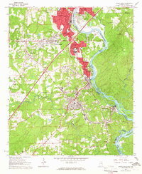
 1955 Phenix City1964 Print · USGSPost-war Alabama and Georgia meet along the Chattahoochee River as industry and military installations expand. Trace the rail lines of the Central of Georgia through towns like Opelika, Tuskegee, and Alexander City.3 unique versions available
 - 1957 Map of Phenix City
 1957 Phenix City1957 Print · USGSThe Alabama-Georgia borderlands are captured here in the mid-fifties, centered on the bustling river crossing at Phenix City and Columbus. Researchers can trace the mid-century footprint of the Fort Benning Military Reservation or locate smaller textile and railroad towns like Langdale and Camp Hill.
 - 1958 Map of Phenix City
 1958 Phenix City1958 Print · USGSThe Alabama-Georgia borderlands thrive during the late fifties, anchored by the river-driven industry of Columbus and Phenix City. Researchers can trace the mid-century footprints of Fort Benning, Auburn, and the textile towns of Fairfax and Lanett.
 - 1964 Map of Lanett South, 1966 Print
 1964 Lanett South1966 Print · USGSThe industrial corridor of the Chattahoochee Valley comes alive here in the mid-1960s, showing the tight-knit mill towns and rail networks of eastern Alabama. Researchers can trace the legacy of local families through Oak Wood Cem, Huguley Cem, and numerous country churches like Greenwood Ch.4 unique versions available
 - 1965 Map of Beulah, 1967 Print
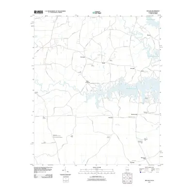
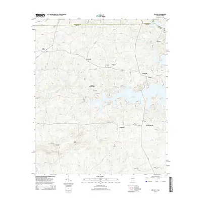
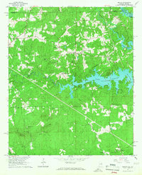 1965 Beulah1967 Print · USGSLee and Chambers counties meet along the Chattahoochee in the mid-1960s, showing a landscape shaped by the waters of Lake Harding. Researchers can locate a historic Covered Bridge, early rural churches like Liberty Ch, and the small community of Mechanicsville.2 unique versions available
 - 1971 Map of Cusseta, 1973 Print
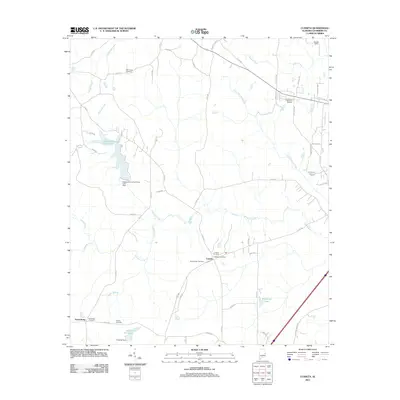
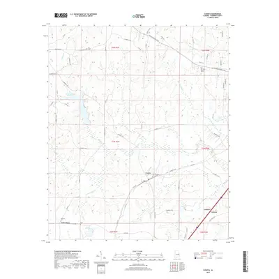
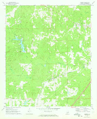 1971 Cusseta1973 Print · USGSCusseta and the hill country of Chambers County appear here in the early 1970s, as the landscape transitioned between traditional agriculture and modern recreation. Researchers can trace the Western Railway of Alabama corridor and locate local landmarks like the Cusseta Sch and Galilee Ch.3 unique versions available
 - 1981 Map of Opelika, 1982 Print
 1981 Opelika1982 Print · USGSEast Alabama and West Georgia appear in the early 1980s as a region defined by massive river reservoirs and the storied textile corridor. Genealogists can trace family roots through the valley towns of Lanett and Fairfax or locate sites near Horseshoe Bend National Military Park.
 - 2011 Map of Lanett South, 2011 Print
 2011 Lanett South2011 Print · USGSCovers Valley, including Lanett, West Point, and other nearby areas2 unique versions available
 - 2011 Map of Beulah, 2011 Print
 2011 Beulah2011 Print · USGSCovers Valley, including Blanton, Mechanicsville, and other nearby areas2 unique versions available
 - 2011 Map of Cusseta, 2011 Print
 2011 Cusseta2011 Print · USGSCovers Valley, including Lanett, Cusseta, and other nearby areas
 - 2014 Map of Lanett South, 2014 Print
 2014 Lanett South2014 Print · USGSCovers Valley, including Lanett, West Point, and other nearby areas
 - 2014 Map of Cusseta, 2014 Print
 2014 Cusseta2014 Print · USGSCovers Valley, including Lanett, Cusseta, and other nearby areas
 - 2014 Map of Beulah, 2014 Print
 2014 Beulah2014 Print · USGSCovers Valley, including Blanton, Mechanicsville, and other nearby areas
 - 2018 Map of Cusseta, 2018 Print
 2018 Cusseta2018 Print · USGSCovers Valley, including Lanett, Cusseta, and other nearby areas
 - 2018 Map of Lanett South, 2018 Print
 2018 Lanett South2018 Print · USGSCovers Valley, including Lanett, West Point, and other nearby areas
 - 2018 Map of Beulah, 2018 Print
 2018 Beulah2018 Print · USGSCovers Valley, including Blanton, Mechanicsville, and other nearby areas
 - 2020 Map of Beulah, 2020 Print
 2020 Beulah2020 Print · USGSCovers Valley, including Blanton, Mechanicsville, and other nearby areas
 - 2020 Map of Cusseta, 2020 Print
 2020 Cusseta2020 Print · USGSCovers Valley, including Lanett, Cusseta, and other nearby areas
 - 2020 Map of Lanett South, 2020 Print
 2020 Lanett South2020 Print · USGSCovers Valley, including Lanett, West Point, and other nearby areas
 - 2024 Map of Cusseta, 2024 Print
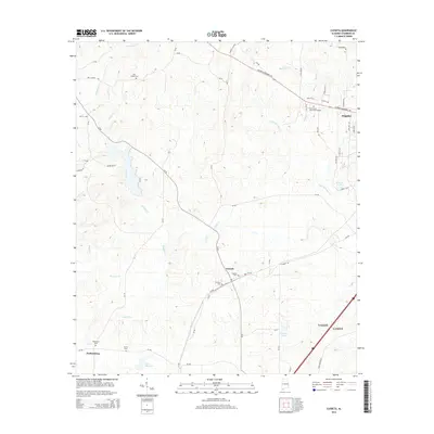
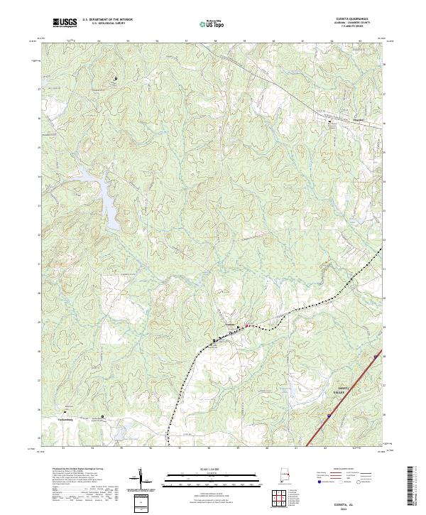 2024 Cusseta2024 Print · USGSChambers County reflects a deep-rooted rural character in the twenty-first century, centered on small crossroads and storied cemeteries. Genealogists can locate family landmarks such as Robertson Cem, Bell Chapel Cem, and the village of Cusseta.
 - 2024 Map of Beulah, 2024 Print
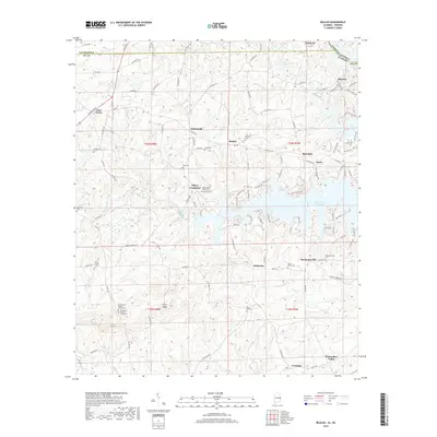
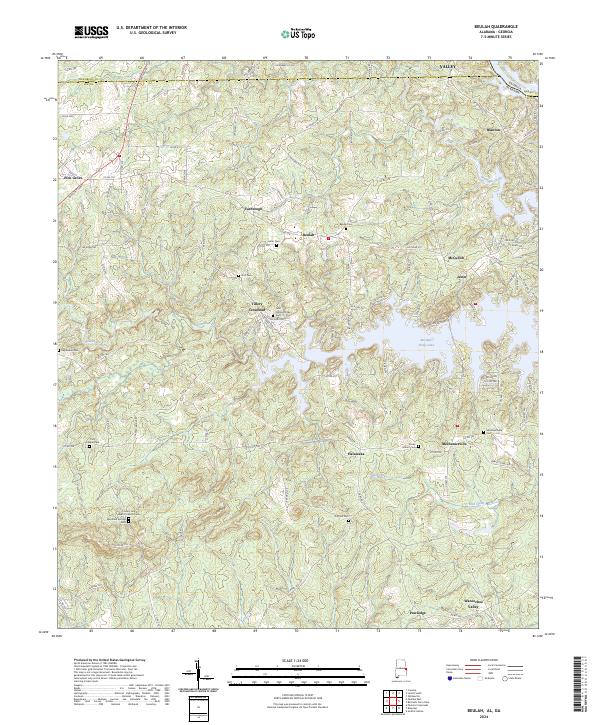 2024 Beulah2024 Print · USGSEastern Lee County at the Georgia border reveals a landscape defined by the waters of Bartletts Ferry Lake. Genealogists can trace roots through the John Calhoun Tillery Cem and old settlements like Wacoochee Valley and Mechanicsville.
 - 2024 Map of Lanett South, 2024 Print
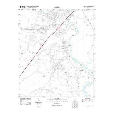
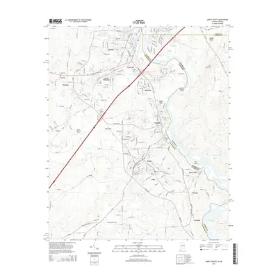
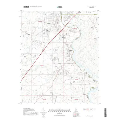
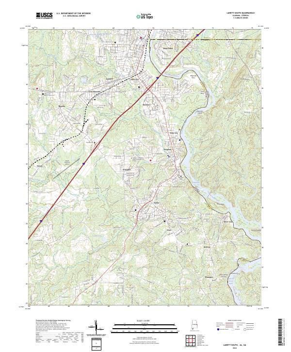 2024 Lanett South2024 Print · USGSThe Chattahoochee River valley comes alive in this survey of Chambers County, where mill towns and river crossings define the borderlands. Genealogists can trace family roots through sites like Greenwood Baptist Church Cem and Pine Hill Cem.
 - 2026 Map of Lanett South, 2026 Print
 2026 Lanett South2026 Print · USGSCovers Valley, including Lanett, West Point, and other nearby areas
End of results
Showing maps 1-25 of 25
Top cities near Valley
- Columbus historical maps
- Auburn historical maps
- Opelika historical maps
- LaGrange historical maps
- Lanett historical maps
- West Point historical maps
See more
Top neighborhoods of Valley
- Fairfax historical maps
- Shawmut historical maps
- Osanippa historical maps
- River View historical maps
- Eady City historical maps
- Langdale historical maps
See more
Frequently asked questions
- What are the different types of historical maps available for Valley?
- What is the oldest map of Valley?
- Where can I purchase historical maps of Valley for my home or office?
- Where can I download high-res historical maps of Valley?
- Are there historical topographic maps available for Valley?
- Is there historical aerial imagery available for Valley?
- Where are historical maps of Valley sourced from?