2010s Maps of Coffee County, Alabama
Explore 48 historic maps of Coffee County from the 2010s. These maps offer a rare glimpse into what life looked like during the 2010s — showing old roads, neighborhoods, homes, and landmarks that have changed or disappeared over time.
Whether you're researching your family's past, planning a metal detecting trip, or studying how Coffee County's landscape evolved across the 2010s, these high-resolution maps are a powerful tool for exploring the history of this region.
- Focus on a specific era: All maps on this page are from the 2010s, giving you a focused view of this time period.
- See what’s changed: Compare century-old streets, trails, and buildings to today's modern landscape using overlays and satellite layers.
- Research with precision: Use these maps for genealogy, historical research, land use analysis, or educational projects.
- View, download, or print: Maps are fully viewable online in high resolution, and can be downloaded or printed for your own records.
Start exploring Coffee County's history through authentic maps from the 2010s. This is your window into the past.
Coffee County, AL maps
(48)- 2011 Map of Coffee Springs, 2011 Print
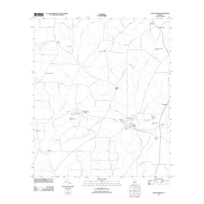 2011 Coffee Springs2011 Print · USGSGeneva County at the start of the 2010s reveals a landscape of quiet rural settlements and ancestral burial grounds. Genealogists can trace family connections at Marvin Chapel Cemetery, Moore Cemetery, and Coffee Springs.
 - 2011 Map of New Brockton, 2011 Print
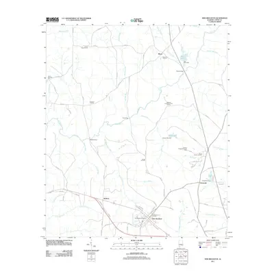 2011 New Brockton2011 Print · USGSCoffee County life at the start of the 2010s is centered on the town of New Brockton and the winding Pea River. Researchers can trace rural lineages through numerous local burial grounds, including the Hutchson and Russell Family Cemetery and Woodland Cemetery.
 - 2011 Map of Enterprise NE, 2011 Print
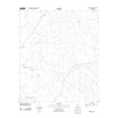 2011 Enterprise NE2011 Print · USGSThis Alabama countryside north of Enterprise shows a landscape of deep-rooted family history and mill-stream heritage during the early 21st century. Genealogists can trace early burial sites at Pea River Cemetery and Old Tabernacle Cemetery, or locate landmarks like Camp Alaflo and Parish Bridge.
 - 2011 Map of Victoria, 2011 Print
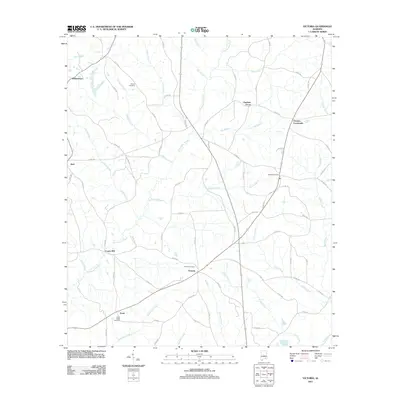 2011 Victoria2011 Print · USGSCoffee County at the dawn of the twenty-first century reveals a landscape shaped by rural settlements and ancestral burial grounds. Genealogists and local historians can trace family locations through Victoria Cemetery and the hamlets of Lowry Mill, Jack, and Chestnut Grove.
 - 2011 Map of Brundidge SE, 2011 Print
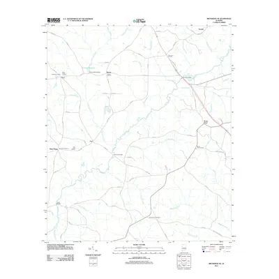 2011 Brundidge SE2011 Print · USGSSoutheastern Alabama's rural crossroads and watercourses are documented here in the early twenty-first century. Researchers can trace family history through several burial sites like the Selgar Family Cemetery or locate old landmarks such as the Roeton Mill Pond Dam.
 - 2011 Map of Bellwood, 2011 Print
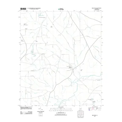 2011 Bellwood2011 Print · USGSBellwood and the surrounding Geneva County landscape are shown here in the early 2000s, where the winding Choctawhatchee River meets a network of rural roads. Genealogists and local historians can trace family roots through sites like Consolation Cemetery, Scranton, and the Bellwood Post Office.
 - 2011 Map of Enterprise, 2011 Print
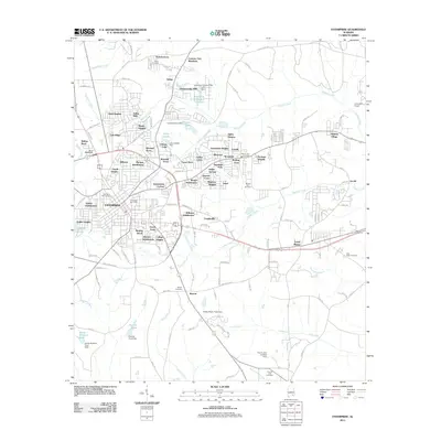 2011 Enterprise2011 Print · USGSEnterprise and the surrounding Coffee County suburbs are captured here during a period of steady growth in the early 2010s. Genealogists and local historians can locate many family sites, including Salem Cemetery, Keyton Cemetery, and the historic Coppinville area.
 - 2011 Map of Goodman, 2011 Print
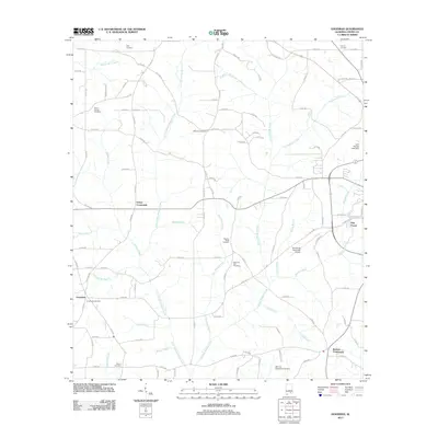 2011 Goodman2011 Print · USGSCoffee County at the start of the millennium reveals a rural landscape of crossroads and creek-side settlements. Genealogists can trace family landmarks at Goodman Cemetery or Asbury Cemetery, while scouts of local industry will find Enterprise Municipal Airport and John Moates Lake Dam.
 - 2011 Map of Opp East, 2011 Print
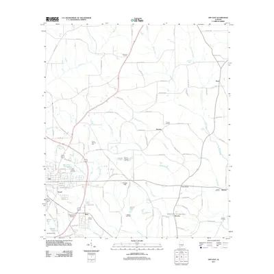 2011 Opp East2011 Print · USGSEastern Covington County is seen here during the early twenty-first century, showing the sprawl of Opp and its surrounding rural communities. Researchers can trace family history through numerous burial sites like Mount Zion Cemetery or locate the community hubs of Brooklyn and Perry Store.
 - 2011 Map of Danleys Crossroads, 2011 Print
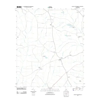 2011 Danleys Crossroads2011 Print · USGSCoffee County at the start of the 2010s reveals a landscape of small agricultural settlements and family-named landmarks. Genealogists can trace rural roots through numerous burial sites like Bethany Cemetery, Danley Cross Roads Cemetery, and Friendship Community Cemetery.
 - 2011 Map of Elba, 2011 Print
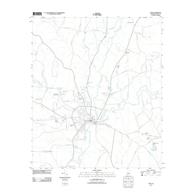 2011 Elba2011 Print · USGSElba and the surrounding Coffee County countryside are captured here in the early twenty-first century, centered on the confluence of the Pea River. Researchers can locate family sites at Evergreen Cemetery, trace the area's aviation history at Carl Folsom Airport, or identify landmarks like the J B Simmons Bridge.
 - 2011 Map of Ino, 2011 Print
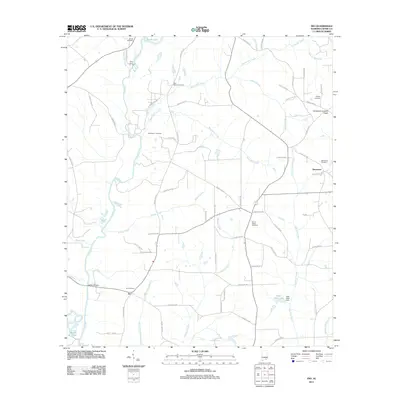 2011 Ino2011 Print · USGSCoffee County remains a landscape defined by its waterways and quiet settlements in this early 21st-century survey. Genealogists can trace family footprints across numerous sites like Shiloh Cemetery, Ino Cemetery, and the Damascus Lookout Tower.
 - 2011 Map of Bluff Springs, 2011 Print
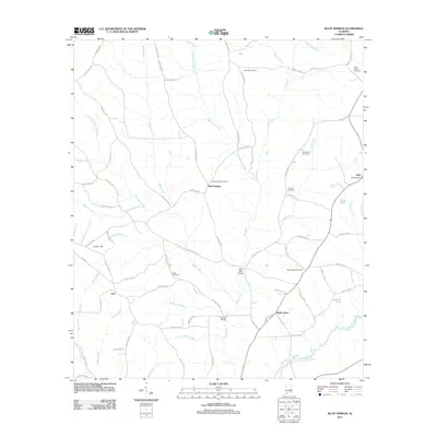 2011 Bluff Springs2011 Print · USGSCoffee County's rural communities come into focus in this contemporary survey of southeastern Alabama. Researchers can trace the backroads connecting Bluff Springs, Shady Grove, and Zoar, while locating ancestral sites like Old Sharron Cemetery and the Jack Post Office.
 - 2011 Map of Kinston, 2011 Print
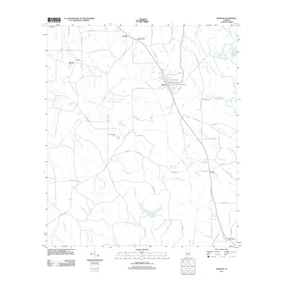 2011 Kinston2011 Print · USGSCovington County community life in the early 2000s is centered around Kinston, where rural routes and family burial grounds dot the landscape. Researchers can trace local heritage at Beulah Cemetery, locate the Kinston Post Office, or follow the waters of Faulk Mill Creek.
 - 2011 Map of Sellersville, 2011 Print
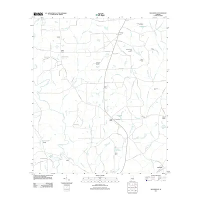 2011 Sellersville2011 Print · USGSSoutheastern Alabama in the early 2010s reveals a deeply rooted rural landscape shaped by the Pea River and its many tributaries. Genealogists and local historians can trace family ties through Macedonia Cemetery, Haney Cemetery, and the site of Underwood Mill.
 - 2011 Map of Bullock, 2011 Print
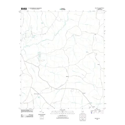 2011 Bullock2011 Print · USGSCrenshaw County at the start of the 2010s is a landscape of rural crossroads and river bottomlands. Researchers can trace historic routes like Old Three Notch Rd and locate family burial sites such as the Driskell Family Cemetery and Lowery Cemetery.
 - 2014 Map of Kinston, 2014 Print
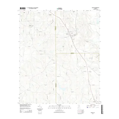 2014 Kinston2014 Print · USGSThe intersection of Coffee, Covington, and Geneva Counties in the early 2010s reveals a deeply rooted rural landscape of timber tracts and family farms. Local historians can trace established community landmarks like Beulah, Saint Pauls Cem, and the waters of Flat Creek.
 - 2014 Map of Danleys Crossroads, 2014 Print
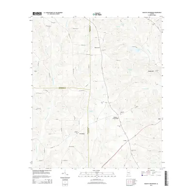 2014 Danleys Crossroads2014 Print · USGSSoutheastern Alabama at the junction of Coffee, Covington, and Crenshaw counties comes into focus in the early 2010s. Researchers can trace rural lineages through numerous sites like Pine Level Cem, Danley Cross Roads Cem, and the settlement at Friendship.
 - 2014 Map of Elba, 2014 Print
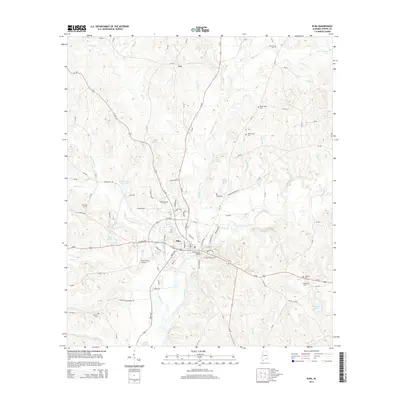 2014 Elba2014 Print · USGSElba and the surrounding Coffee County countryside are captured here in the mid-2010s at the junction of the Pea River and Whitewater Creek. Researchers can trace local family history through numerous landmarks, including Wise Mill Cem, Taylor Cem, and the Carl Folsom Airport.
 - 2014 Map of Sellersville, 2014 Print
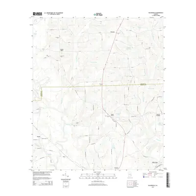 2014 Sellersville2014 Print · USGSSoutheastern Alabama's rural landscape is captured here in the early twenty-first century, spanning the border of Coffee and Geneva counties. Genealogists and local historians can locate numerous community landmarks, including Piney Grove Cem, Holley Store, and Faulk Millpond.
 - 2014 Map of Opp East, 2014 Print
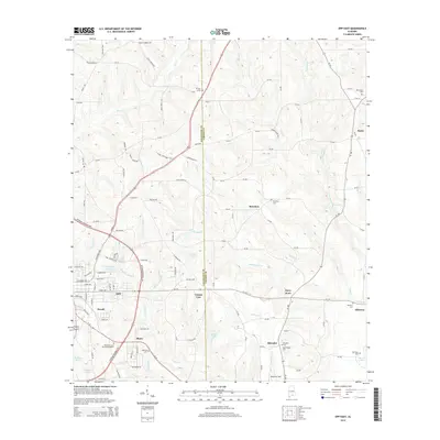 2014 Opp East2014 Print · USGSOpp and the rural communities along the Covington and Coffee County line are captured here in the early twenty-first century. Genealogists and local historians can locate many rural cemeteries like Bethany and Alberton or trace family lands near Stanley Mill Cr.
 - 2014 Map of Bullock, 2014 Print
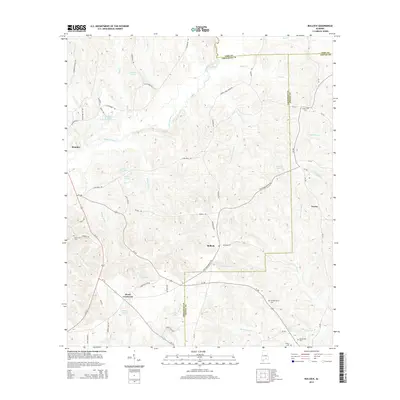 2014 Bullock2014 Print · USGSSoutheastern Alabama's rural landscape at the intersection of Crenshaw, Coffee, and Pike counties comes into focus in this mid-2010s survey. Researchers can trace historic family connections through Driskell Family Cem and Oak Grove Cem or locate the site of Weed Crossroad.
 - 2014 Map of Bluff Springs, 2014 Print
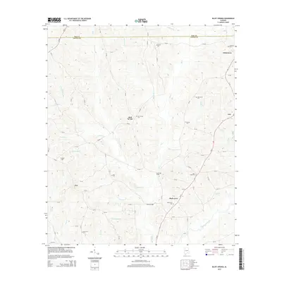 2014 Bluff Springs2014 Print · USGSCoastal plain settlements in Coffee County thrive amidst a dense network of creek branches in the mid-2010s. Researchers can locate numerous rural family landmarks like Bluff Springs Cem, Shearon Cem, and the historic crossing at Lewis Mill Bridge.
 - 2014 Map of Enterprise NE, 2014 Print
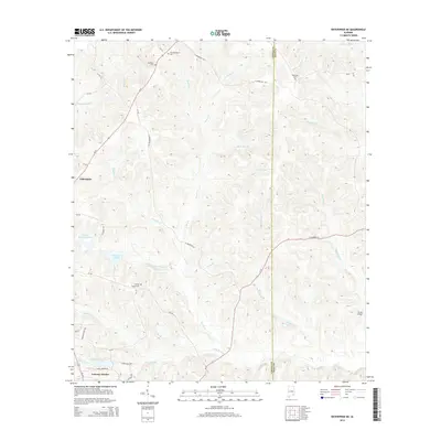 2014 Enterprise NE2014 Print · USGSThe rural border of Coffee and Dale counties is captured here in the early twenty-first century as modern residential growth meets historic landscapes. Genealogists can locate several burial sites including Old Tabernacle Cemetery and Wesley Chapel Cemetery.
 - 2014 Map of New Brockton, 2014 Print
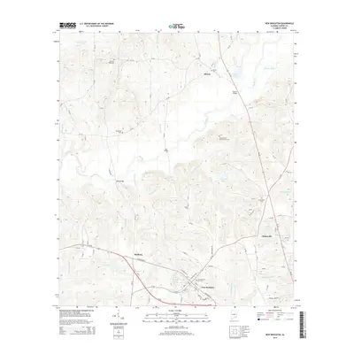 2014 New Brockton2014 Print · USGSCoffee County life is centered around the town of New Brockton and its neighboring rural crossroads in the early 2000s. Genealogists can trace family lines through several burial sites, including the Mt Pleasant Cem and the Woodland Cem.
Showing maps 1-25 of 48
Top cities of Coffee County
Frequently asked questions
- What are the different types of historical maps available for Coffee County?
- What is the oldest map of Coffee County?
- Where can I purchase historical maps of Coffee County for my home or office?
- Where can I download high-res historical maps of Coffee County?
- Are there historical topographic maps available for Coffee County?
- Is there historical aerial imagery available for Coffee County?
- Where are historical maps of Coffee County sourced from?