2020s Maps of Coffee County, Alabama
Explore 32 historic maps of Coffee County from the 2020s. These maps offer a rare glimpse into what life looked like during the 2020s — showing old roads, neighborhoods, homes, and landmarks that have changed or disappeared over time.
Whether you're researching your family's past, planning a metal detecting trip, or studying how Coffee County's landscape evolved across the 2020s, these high-resolution maps are a powerful tool for exploring the history of this region.
- Focus on a specific era: All maps on this page are from the 2020s, giving you a focused view of this time period.
- See what’s changed: Compare century-old streets, trails, and buildings to today's modern landscape using overlays and satellite layers.
- Research with precision: Use these maps for genealogy, historical research, land use analysis, or educational projects.
- View, download, or print: Maps are fully viewable online in high resolution, and can be downloaded or printed for your own records.
Start exploring Coffee County's history through authentic maps from the 2020s. This is your window into the past.
Coffee County, AL maps
(32)- 2020 Map of Goodman, 2020 Print
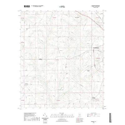 2020 Goodman2020 Print · USGSCovers Coffee County, including Enterprise, New Brockton, and other nearby areas
 - 2020 Map of Victoria, 2020 Print
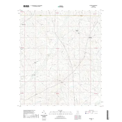 2020 Victoria2020 Print · USGSCovers Coffee County, including Clowers Crossroads, Victoria, and other nearby areas
 - 2020 Map of Enterprise, 2020 Print
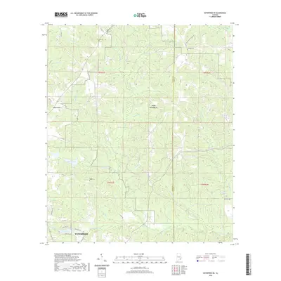
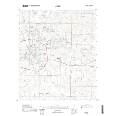 2020 Enterprise2020 Print · USGSCovers Coffee County, including Enterprise, Daleville, and other nearby areas
 - 2020 Map of Danleys Crossroads, 2020 Print
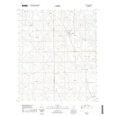
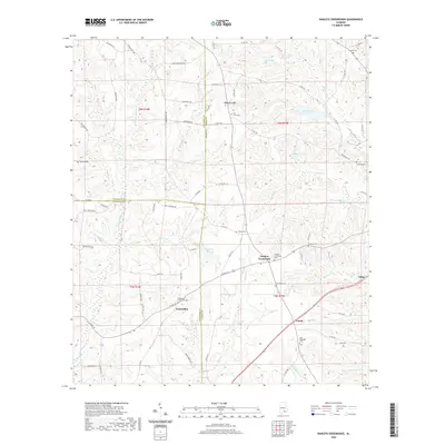 2020 Danleys Crossroads2020 Print · USGSCovers Coffee County, including Elba, Pine Level, and other nearby areas
 - 2020 Map of Coffee Springs, 2020 Print
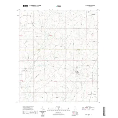 2020 Coffee Springs2020 Print · USGSCovers Coffee County, including Coffee Springs, Spears, and other nearby areas
 - 2020 Map of Enterprise NE, 2020 Print
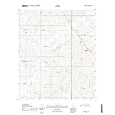
 2020 Enterprise NE2020 Print · USGSCovers Coffee County, including Enterprise, Tabernacle, and other nearby areas
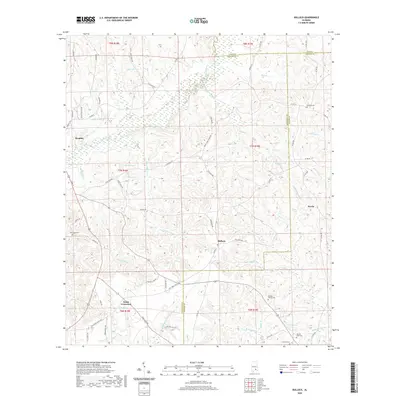
 - 2020 Map of Bellwood, 2020 Print
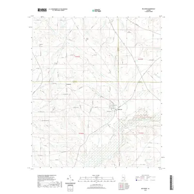 2020 Bellwood2020 Print · USGSCovers Coffee County, including Bellwood, Scranton, and other nearby areas
 - 2020 Map of Brundidge SE, 2020 Print
 2020 Brundidge SE2020 Print · USGSCovers Coffee County, including Tennille, Roeton, and other nearby areas
 - 2020 Map of New Brockton, 2020 Print
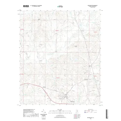 2020 New Brockton2020 Print · USGSCovers Coffee County, including Enterprise, New Brockton, and other nearby areas
 - 2020 Map of Sellersville, 2020 Print
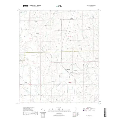 2020 Sellersville2020 Print · USGSCovers Coffee County, including Samson, Mount Carmel, and other nearby areas
 - 2020 Map of Elba, 2020 Print
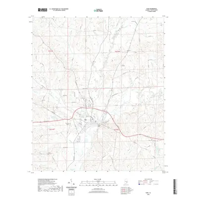 2020 Elba2020 Print · USGSCovers Coffee County, including Elba, Lee, and other nearby areas
 - 2020 Map of Bluff Springs, 2020 Print
 2020 Bluff Springs2020 Print · USGSCovers Coffee County, including Bluff Springs, Jack, and other nearby areas
 - 2020 Map of Kinston, 2020 Print
 2020 Kinston2020 Print · USGSCovers Coffee County, including Opp, Kinston, and other nearby areas
 - 2020 Map of Bullock, 2020 Print
 2020 Bullock2020 Print · USGSCovers Coffee County, including Brantley, Weed Crossroad, and other nearby areas
 - 2020 Map of Ino, 2020 Print
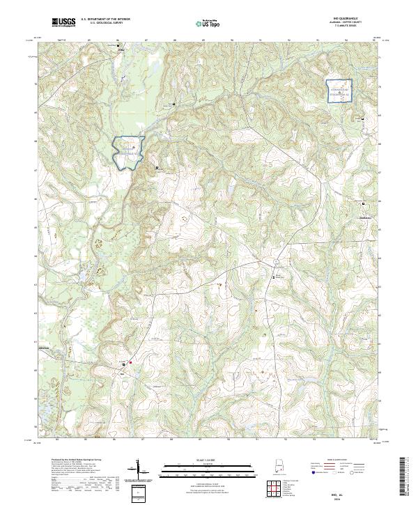
 2020 Ino2020 Print · USGSCovers Coffee County, including Elba, Damascus, and other nearby areas
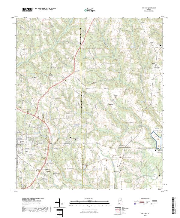
 - 2020 Map of Opp East, 2020 Print
 2020 Opp East2020 Print · USGSCovers Coffee County, including Opp, Brooklyn, and other nearby areas
 - 2024 Map of Elba, 2024 Print
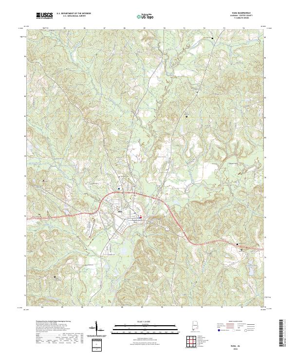 2024 Elba2024 Print · USGSThe confluence of the Pea River and Whitewater Creek defines the Coffee County landscape in this modern study of Elba. Local historians can trace family roots through numerous burial sites like Evergreen Cem, Wise Mill Cem, and the crossing at Harpers Ferry.
 - 2024 Map of Bluff Springs, 2024 Print
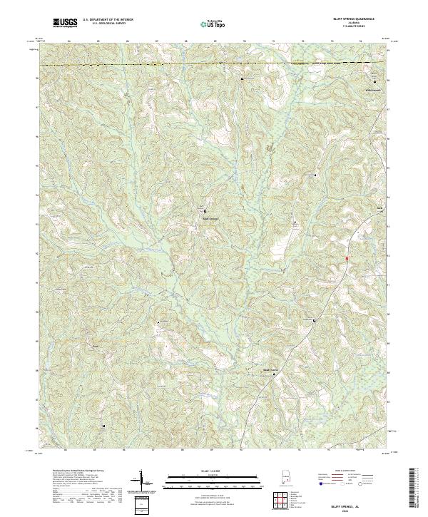 2024 Bluff Springs2024 Print · USGSThe rural borderlands of Pike and Coffee counties come into focus in this contemporary survey of Alabama's Wiregrass region. Researchers can trace the heritage of local settlements through numerous landmarks like Zions Chapel Cem, Wilkinstown, and the waters of Stinking Creek.
 - 2024 Map of Sellersville, 2024 Print
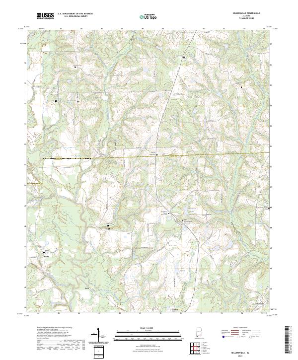 2024 Sellersville2024 Print · USGSGeneva and Coffee counties come into focus in this contemporary survey of the Alabama Wiregrass region. Genealogists can trace roots through community anchors like Weeks Chapel, Friendship Cem, and the historic settlement at Sellersville.
 - 2024 Map of Bullock, 2024 Print
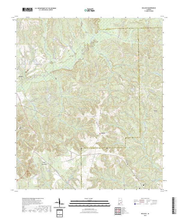 2024 Bullock2024 Print · USGSThe headwaters of the Pea River and Conecuh River systems meet here in the 2020s. Genealogists can trace legacy burial sites like Antioch Cem and Driskell Family Cem near the rural crossroads of Bullock and Newby.
 - 2024 Map of Kinston, 2024 Print
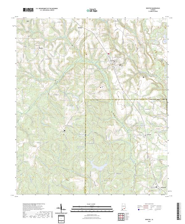 2024 Kinston2024 Print · USGSKinston and the surrounding Wiregrass farm country are shown in detail as they appear in the early 2020s. Trace local family roots and historical crossings at Hollys Ferry, the L & N RR line, and quiet country cemeteries like Beulah Cem.
 - 2024 Map of Opp East, 2024 Print
 2024 Opp East2024 Print · USGSSoutheast Alabama’s rural landscapes are shown in high detail here, where the Covington and Coffee county lines meet. Genealogists can trace family heritage through sites like Sweetwater Baptist Cem, Brooklyn, and the aviation outpost at Skelly Stagefield Al.
 - 2024 Map of Danleys Crossroads, 2024 Print
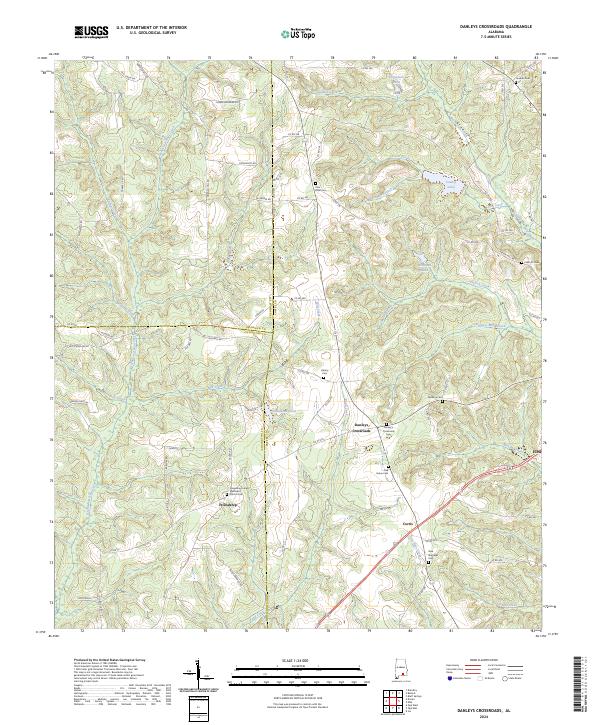 2024 Danleys Crossroads2024 Print · USGSThe intersection of Coffee, Covington, and Crenshaw counties comes into focus in this contemporary map of southern Alabama. Researchers can trace rural lineages through the many local burial grounds, including Pine Level Cem and the Friendship United Methodist Church Cem.
 - 2024 Map of Ino, 2024 Print
 2024 Ino2024 Print · USGSCoffee County in the current era remains a landscape of quiet creek-side settlements and military training fields. Genealogists can trace family roots at Ino Cem, Bethlehem Cem, or Damascus Cem, while exploring the rural roads surrounding Ino and Alberton.
 - 2024 Map of Bellwood, 2024 Print
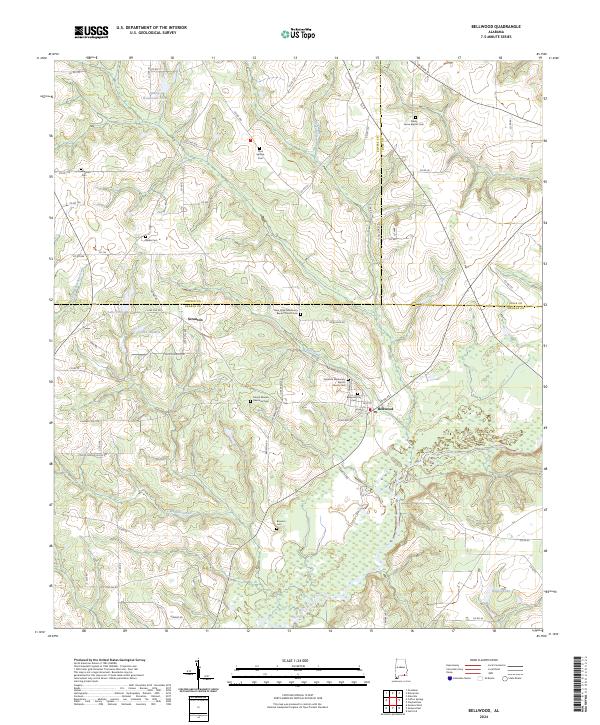 2024 Bellwood2024 Print · USGSGeneva and Coffee counties meet in the early twenty-first century as small settlements and rural homesteads dot the Wiregrass landscape. Researchers can trace family history through local landmarks like Mount Mariah Memorial Cem, Bellwood, and Scranton.
Showing maps 1-25 of 32
Top cities of Coffee County
Frequently asked questions
- What are the different types of historical maps available for Coffee County?
- What is the oldest map of Coffee County?
- Where can I purchase historical maps of Coffee County for my home or office?
- Where can I download high-res historical maps of Coffee County?
- Are there historical topographic maps available for Coffee County?
- Is there historical aerial imagery available for Coffee County?
- Where are historical maps of Coffee County sourced from?