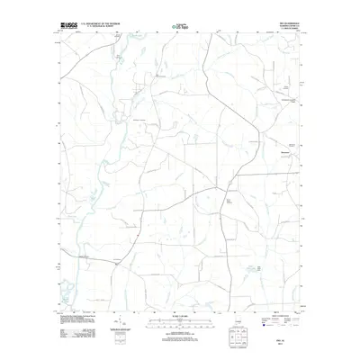
2011 Map of Ino
USGS Topo · Published 2011About this map
The Pea River winds through this Coffee County landscape, serving as a primary drainage for numerous tributaries like Helms Mill Creek, Bucks Mill Creek, and Wises Mill Creek. In the early 21st century, the small settlements of Ino and Damascus anchor the rural road network, which is dotted with sites of significant genealogical interest. Numerous burial grounds are documented across the terrain, including Ino Cemetery, Bethlehem Cemetery, and Mount Gilled Cemetery.
Find a feature on this map
75 named features on this map. Tap any name to fly to it.
Don’t see what you’re looking for? This feature index may not catch every label — zoom into the map to look around manually.
Map Details
Editions of this 2011 Ino Map
This is the sole edition of this map. No revisions or reprints were ever made.
Other maps of this area

1942 · Enterprise
USGS Topo · 1:125,000

1950 · Enterprise
USGS Topo · 1:62,500

1953 · Andalusia
USGS Topo · 1:250,000

1953 · Dothan
USGS Topo · 1:250,000

1954 · Dothan
USGS Topo · 1:250,000

1955 · Dothan
USGS Topo · 1:250,000

1957 · Andalusia
USGS Topo · 1:250,000

1957 · Geneva
USGS Topo · 1:62,500
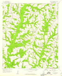
1957 · Coffee Springs
USGS Topo · 1:24,000
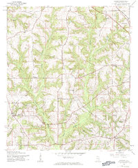
1960 · Goodman
USGS Topo · 1:24,000