2020s Maps of Colbert County, Alabama
Explore 44 historic maps of Colbert County from the 2020s. These maps offer a rare glimpse into what life looked like during the 2020s — showing old roads, neighborhoods, homes, and landmarks that have changed or disappeared over time.
Whether you're researching your family's past, planning a metal detecting trip, or studying how Colbert County's landscape evolved across the 2020s, these high-resolution maps are a powerful tool for exploring the history of this region.
- Focus on a specific era: All maps on this page are from the 2020s, giving you a focused view of this time period.
- See what’s changed: Compare century-old streets, trails, and buildings to today's modern landscape using overlays and satellite layers.
- Research with precision: Use these maps for genealogy, historical research, land use analysis, or educational projects.
- View, download, or print: Maps are fully viewable online in high resolution, and can be downloaded or printed for your own records.
Start exploring Colbert County's history through authentic maps from the 2020s. This is your window into the past.
Colbert County, AL maps
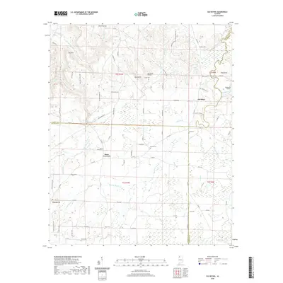
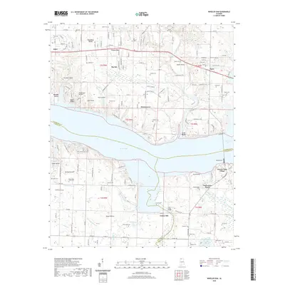
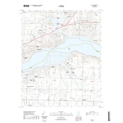
(44)- 2020 Map of Waterloo, 2020 Print
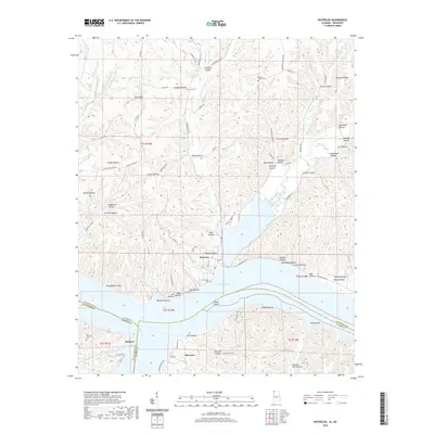 2020 Waterloo2020 Print · USGSCovers Colbert County, including Waterloo, Riverton, and other nearby areas
 - 2020 Map of Bishop, 2020 Print
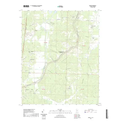 2020 Bishop2020 Print · USGSCovers Colbert County, including Bishop, Mynot, and other nearby areas
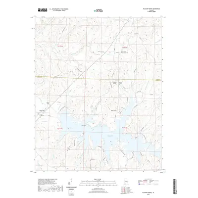
 - 2020 Map of Pleasant Site, 2020 Print
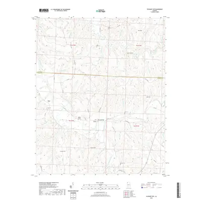 2020 Pleasant Site2020 Print · USGSCovers Colbert County, including Pleasant Site, Pogo, and other nearby areas
 - 2020 Map of Margerum, 2020 Print
 2020 Margerum2020 Print · USGSCovers Colbert County, including Chisca, Buzzard Roost, and other nearby areas
 - 2020 Map of Old Bethel, 2020 Print
 2020 Old Bethel2020 Print · USGSCovers Colbert County, including La Grange, Bethsaida, and other nearby areas
 - 2020 Map of Hatton, 2020 Print
 2020 Hatton2020 Print · USGSCovers Colbert County, including Hatton, Oak Grove, and other nearby areas
 - 2020 Map of Pleasant Grove, 2020 Print
 2020 Pleasant Grove2020 Print · USGSCovers Colbert County, including Pleasant Grove, White Oak Community, and other nearby areas
 - 2020 Map of Town Creek, 2020 Print
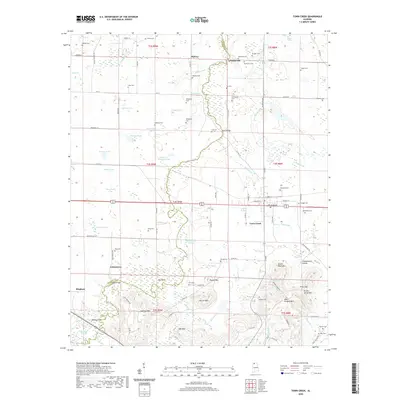 2020 Town Creek2020 Print · USGSCovers Colbert County, including Town Creek, Edmond, and other nearby areas
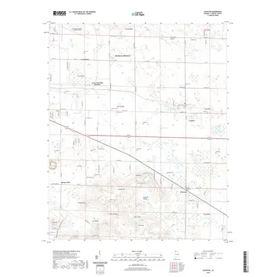
 - 2020 Map of Leighton, 2020 Print
 2020 Leighton2020 Print · USGSCovers Colbert County, including Muscle Shoals, Leighton, and other nearby areas
 - 2020 Map of Barton, 2020 Print
 2020 Barton2020 Print · USGSCovers Colbert County, including Cherokee, Newsome Springs, and other nearby areas
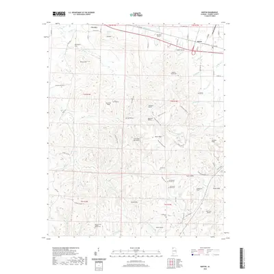
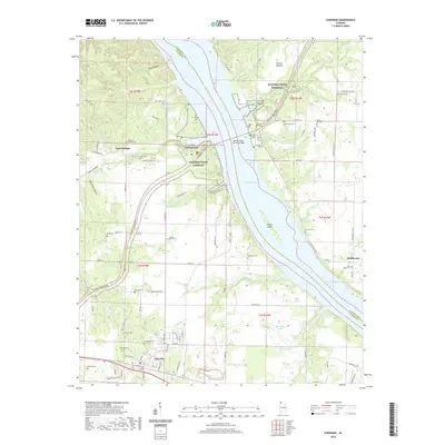
 - 2020 Map of Tuscumbia, 2020 Print
 2020 Tuscumbia2020 Print · USGSCovers Colbert County, including Muscle Shoals, Sheffield, and other nearby areas
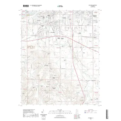
 - 2020 Map of Wheeler Dam, 2020 Print
 2020 Wheeler Dam2020 Print · USGSCovers Colbert County, including Killen, Aqua Vista, and other nearby areas
 - 2020 Map of Russellville, 2020 Print
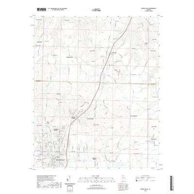 2020 Russellville2020 Print · USGSCovers Colbert County, including Russellville, Littleville, and other nearby areas
 - 2020 Map of Frankfort, 2020 Print
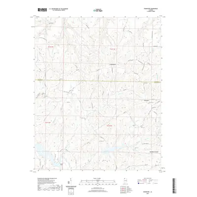 2020 Frankfort2020 Print · USGSCovers Colbert County, including Russellville, Jonesboro, and other nearby areas
 - 2020 Map of Killen, 2020 Print
 2020 Killen2020 Print · USGSCovers Colbert County, including Florence, Muscle Shoals, and other nearby areas
 - 2020 Map of Sinking Creek, 2020 Print
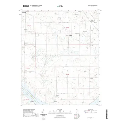 2020 Sinking Creek2020 Print · USGSCovers Colbert County, including Woodland, Canaan, and other nearby areas
 - 2020 Map of Wright, 2020 Print
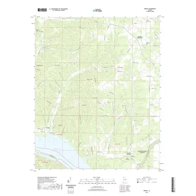 2020 Wright2020 Print · USGSCovers Colbert County, including Gravelly Springs, Murphy Cross Roads, and other nearby areas
 - 2020 Map of Cherokee, 2020 Print
 2020 Cherokee2020 Print · USGSCovers Colbert County, including Cherokee, Lane Springs, and other nearby areas
 - 2020 Map of Pride, 2020 Print
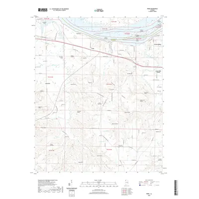 2020 Pride2020 Print · USGSCovers Colbert County, including Tuscumbia, Hawk Pride, and other nearby areas
 - 2020 Map of Tishomingo, 2020 Print
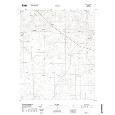
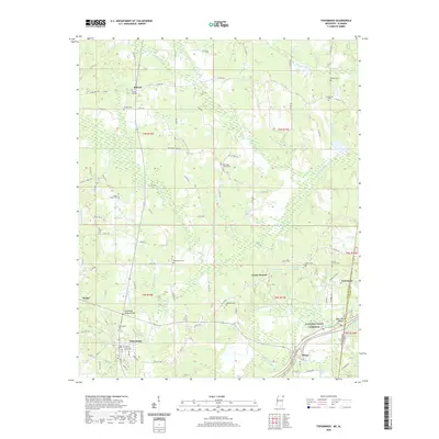 2020 Tishomingo2020 Print · USGSCovers Colbert County, including Tishomingo, Paden, and other nearby areas
 - 2021 Map of Belmont, 2021 Print
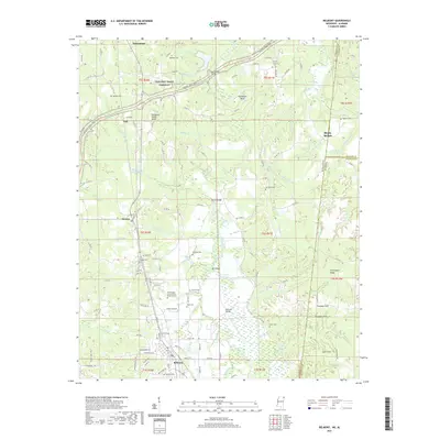 2021 Belmont2021 Print · USGSCovers Colbert County, including Belmont, Dennis, and other nearby areas
 - 2021 Map of Florence, 2021 Print
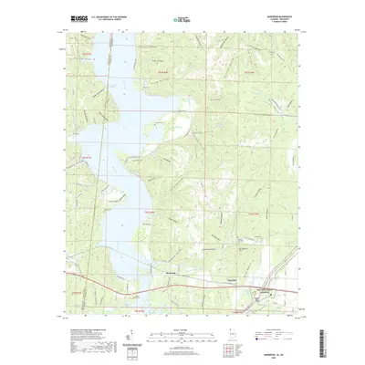
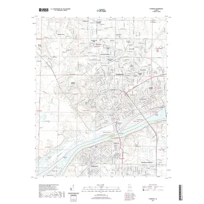 2021 Florence2021 Print · USGSCovers Colbert County, including Florence, Muscle Shoals, and other nearby areas
 - 2024 Map of Bishop, 2024 Print
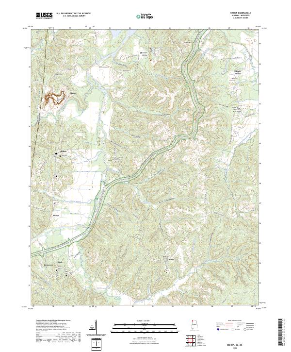 2024 Bishop2024 Print · USGSColbert County’s borderlands near the Mississippi line are captured here, centered on the rural communities of Allsboro and Maud. Researchers can locate numerous family burial grounds including Maud Burns Cem and the Elizabeth Gist Cem tucked into the hollows.
 - 2024 Map of Barton, 2024 Print
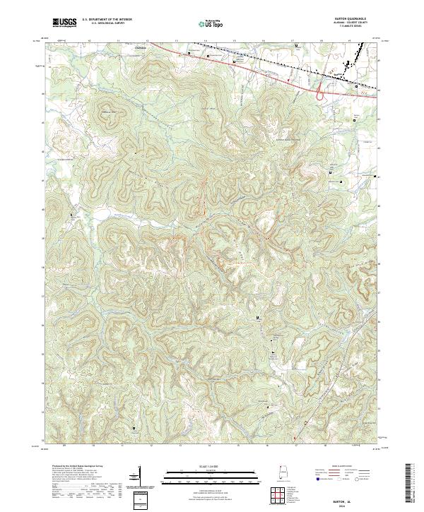 2024 Barton2024 Print · USGSThe communities of Cherokee and Barton are shown here as they appear today, nestled among the ridges and hollows of Colbert County. Genealogists and local historians can locate numerous small burial sites, including Coon Dog Cem, Mountain Mills Cem, and Atkisson Cem.
 - 2024 Map of Sinking Creek, 2024 Print
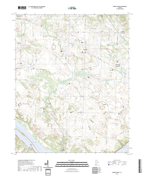 2024 Sinking Creek2024 Print · USGSWestern Lauderdale County is shown here in its modern rural character, anchored by the Tennessee River and Pickwick Lake. Genealogists can trace family names through dozens of sites like Sherrod Cem, Gorners Ferry, and Rhodesville.
Showing maps 1-25 of 44
Top cities of Colbert County
- Muscle Shoals historical maps
- Sheffield historical maps
- Tuscumbia historical maps
- Littleville historical maps
- Cherokee historical maps
- Leighton historical maps
Frequently asked questions
- What are the different types of historical maps available for Colbert County?
- What is the oldest map of Colbert County?
- Where can I purchase historical maps of Colbert County for my home or office?
- Where can I download high-res historical maps of Colbert County?
- Are there historical topographic maps available for Colbert County?
- Is there historical aerial imagery available for Colbert County?
- Where are historical maps of Colbert County sourced from?