2010s Maps of Colbert County, Alabama
Explore 66 historic maps of Colbert County from the 2010s. These maps offer a rare glimpse into what life looked like during the 2010s — showing old roads, neighborhoods, homes, and landmarks that have changed or disappeared over time.
Whether you're researching your family's past, planning a metal detecting trip, or studying how Colbert County's landscape evolved across the 2010s, these high-resolution maps are a powerful tool for exploring the history of this region.
- Focus on a specific era: All maps on this page are from the 2010s, giving you a focused view of this time period.
- See what’s changed: Compare century-old streets, trails, and buildings to today's modern landscape using overlays and satellite layers.
- Research with precision: Use these maps for genealogy, historical research, land use analysis, or educational projects.
- View, download, or print: Maps are fully viewable online in high resolution, and can be downloaded or printed for your own records.
Start exploring Colbert County's history through authentic maps from the 2010s. This is your window into the past.
Colbert County, AL maps
(66)- 2011 Map of Frankfort, 2011 Print
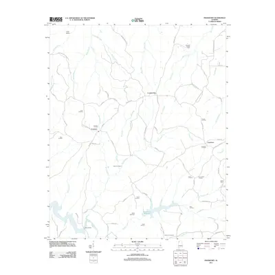 2011 Frankfort2011 Print · USGSFranklin County's rural heartland is documented here in the early twenty-first century, centered on the historic crossroads of Frankfort. Genealogists can trace family heritage through a dense network of sites including Burnt Church Cemetery, Taylor Cemetery, and the Jonesboro community.
 - 2011 Map of Russellville, 2011 Print
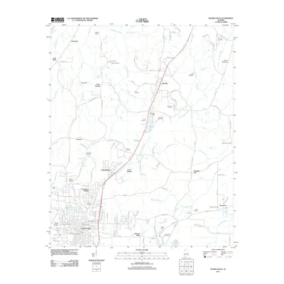 2011 Russellville2011 Print · USGSRussellville and the Highway 43 corridor are shown in detail during the early 2010s, capturing a mix of municipal growth and rural burial sites. Genealogists can locate family-named landmarks such as Henson Cemetery, Devaney Cemetery, and the Knights of Pythias Cemetery.
 - 2011 Map of Killen, 2011 Print
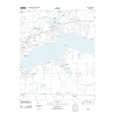 2011 Killen2011 Print · USGSCoastal life and residential growth define this Lauderdale County landscape along Wilson Lake in the early 2010s. Genealogists can locate several family burial grounds like Jones Hill Cemetery and Hawkins Cemetery among modern developments.
 - 2011 Map of Pride, 2011 Print
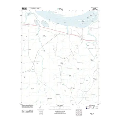 2011 Pride2011 Print · USGSIn this northern Alabama river landscape during the early 2010s, the Tennessee River is a dominant force shaping the geography of Colbert County. Researchers can locate family landmarks like Gibbs Cemetery and Basden Cemetery or trace old routes along the Old Memphis Pike.
 - 2011 Map of Wright, 2011 Print
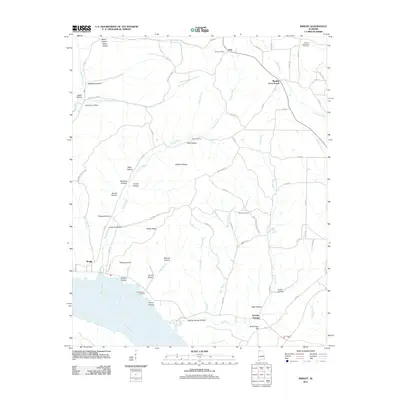 2011 Wright2011 Print · USGSThe Tennessee River shoreline and the ridge-and-hollow country of Lauderdale County are documented here in the early 2000s. Researchers can trace family history at the Francis-King-Lucas Cemetery or locate the old Dart Post Office and the community of Wright.
 - 2011 Map of Barton, 2011 Print
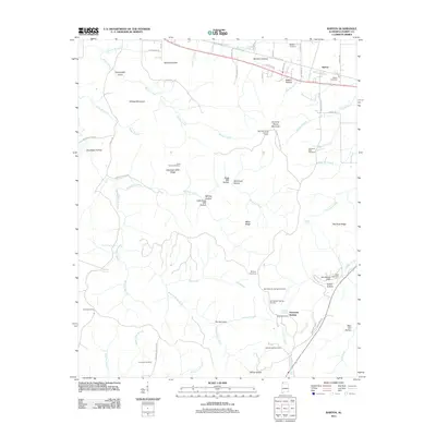 2011 Barton2011 Print · USGSBarton and the rugged ridges of Colbert County are captured here in the early twenty-first century. Local historians can trace the deep-rooted geography of family cemeteries and landmarks, from Dug Post Office and Barton Cemetery to the Mountain Mills Lookout Tower.
 - 2011 Map of Cherokee, 2011 Print
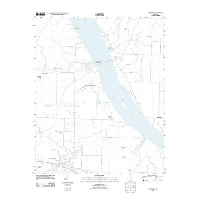 2011 Cherokee2011 Print · USGSNorthwest Alabama at the start of the 2010s reveals a landscape shaped by the Tennessee River and deep-rooted family settlements. Genealogists can locate numerous local burial sites including Cherokee Cemetery and Johnson Cemetery, alongside landmarks like Kirk Post Office.
 - 2011 Map of Waterloo, 2011 Print
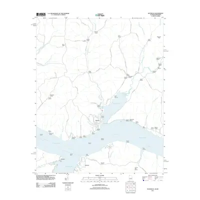 2011 Waterloo2011 Print · USGSWaterloo and Riverton are depicted along the winding shores of the Tennessee River just after the first decade of the new millennium. Researchers can trace local lineage through Richardson Cemetery and Scott Cemetery, or explore river-based landmarks like Eastport Dock and Waterloo Landing.
 - 2011 Map of Margerum, 2011 Print
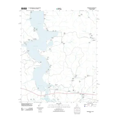 2011 Margerum2011 Print · USGSNorthwestern Alabama and the Mississippi border come alive in this early 21st-century survey of the Pickwick Lake shoreline. Genealogists can trace family sites like Morris Hill Cemetery or Douthit Cemetery and explore the rail history near Margerum and Riverton Junction.
 - 2011 Map of Sinking Creek, 2011 Print
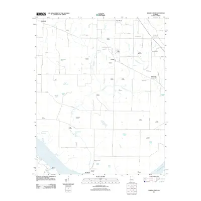 2011 Sinking Creek2011 Print · USGSLauderdale County at the start of the 2010s reveals a landscape of rural crossroads and river bluffs. Genealogists can trace family burial sites like Sherrod and Woodland or locate the historic Lauderdale County Farm and The Sinks.
 - 2011 Map of Town Creek, 2011 Print
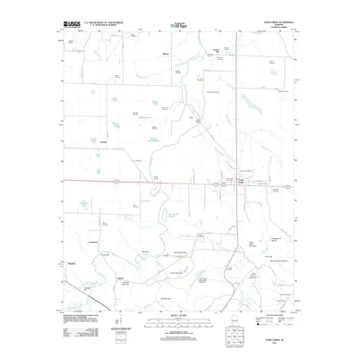 2011 Town Creek2011 Print · USGSTown Creek and its surrounding hamlets are captured here during a period of modern stability in Lawrence County. Researchers can trace ancestral lands through dozens of family burial grounds like Brickhouse and Dillahunty, or locate former community hubs at Winston Quarters and Midway.
 - 2011 Map of Florence, 2011 Print
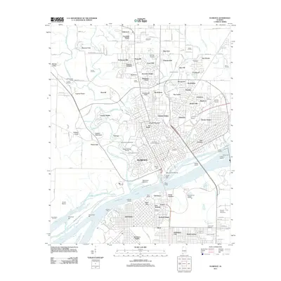 2011 Florence2011 Print · USGSFlorence and the Tennessee River riverfront are shown in high detail during this era of modern growth. Genealogists and local historians can trace family plots at Florence Cemetery and Greenview Memorial Cemetery or locate the historic Waumanona Mound.
 - 2011 Map of Bishop, 2011 Print
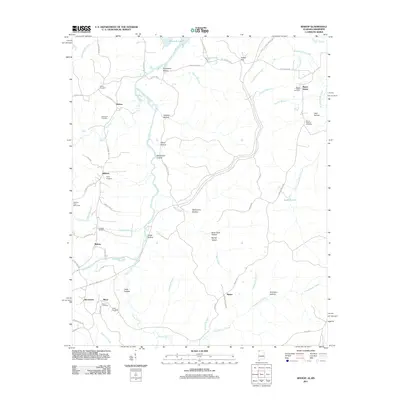 2011 Bishop2011 Print · USGSNorthwest Alabama near the Mississippi border is shown in this detailed look at rural life and landscape. Genealogists can trace family names through numerous burial sites like Twitty Cemetery and Alsobrook Cemetery or locate the Natchez Trace Monument.
 - 2011 Map of Old Bethel, 2011 Print
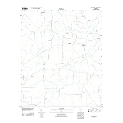 2011 Old Bethel2011 Print · USGSNear the Alabama-Mississippi border in the early twenty-first century, this Colbert County map reveals a landscape of family-run farms and rural crossroads. Researchers can trace the heritage of local families through Gargis Cemetery, Saints Crossroads, and Old Bethel.
 - 2011 Map of Leighton, 2011 Print
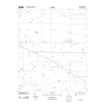 2011 Leighton2011 Print · USGSColbert County's agricultural heartland and the rising slopes of LaGrange Mountain are captured here during the early twenty-first century. Genealogists can trace family footprints through numerous small burial grounds like Aycock Cemetery and Jenkins Cemetery.
 - 2011 Map of Pleasant Site, 2011 Print
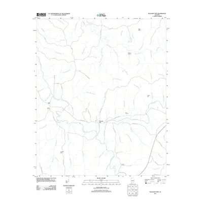 2011 Pleasant Site2011 Print · USGSFranklin County's rural landscape is captured here in the early twenty-first century, centered on the settlement of Pleasant Site. Genealogists and historians can locate family landmarks like the James Cemetery and trace the legacy of local milling along Shoat Mill Branch and Wilson Mill Branch.
 - 2011 Map of Pleasant Grove, 2011 Print
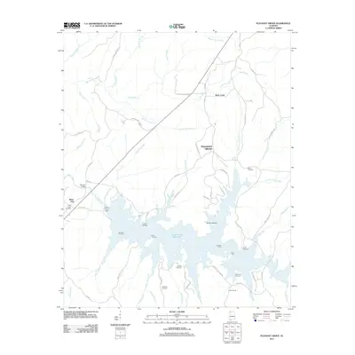 2011 Pleasant Grove2011 Print · USGSFranklin County's shoreline and rural settlements are captured here in the early twenty-first century as the waters of Cedar Creek Reservoir fill the valley. Genealogists can locate several family burial sites including Coondog Cemetery, Massey Cemetery, and Bolton Cemetery.
 - 2011 Map of Hatton, 2011 Print
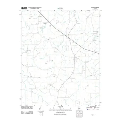 2011 Hatton2011 Print · USGSThe Hatton area of Lawrence County remained a quiet agricultural landscape in the early twenty-first century. Genealogists can trace family lines across dozens of sites including Roden Cemetery, the Concord Post Office, and Beavers Cross.
 - 2011 Map of Tuscumbia, 2011 Print
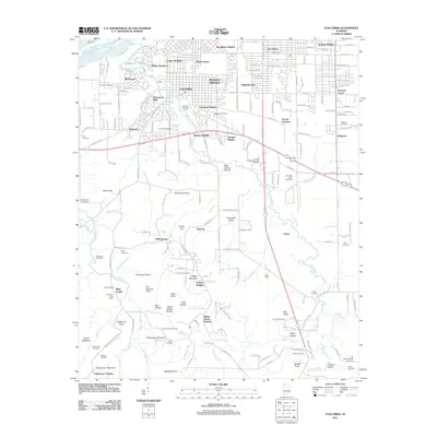 2011 Tuscumbia2011 Print · USGSMuscle Shoals and Tuscumbia are shown during a period of steady expansion at the start of the 2010s. Researchers can locate numerous family burial grounds and historical markers like the Cheatham Post Office, Gunn Cemetery, and Mounds Ford.
 - 2012 Map of Wheeler Dam, 2012 Print
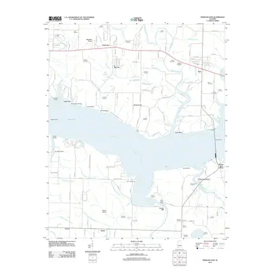 2012 Wheeler Dam2012 Print · USGSThe Tennessee River and the massive Wheeler Dam infrastructure dominate this Alabama landscape as it appeared in recent years. Genealogists and local historians can trace family locations through numerous sites like Old Tanyard Cemetery, Fosters Mill, and Houstontown.
 - 2012 Map of Tishomingo, 2012 Print
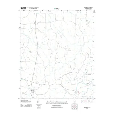 2012 Tishomingo2012 Print · USGSNortheast Mississippi near the Alabama line reveals a landscape of winding creeks and rural settlements in the early twenty-first century. Genealogists and historians can locate numerous burial grounds like Tishomingo Cem and explore the site of the Natchez Trace Monument.
 - 2012 Map of Belmont, 2012 Print
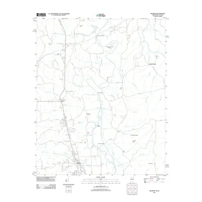 2012 Belmont2012 Print · USGSTishomingo County near the Alabama border appears in detail during the early 2010s, centered on the communities of Belmont and Dennis. Researchers can locate numerous family burial sites like Byram Cemetery and landmarks such as the Dennis Lookout Tower along Bear Creek.
 - 2014 Map of Tuscumbia, 2014 Print
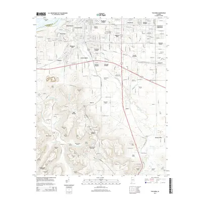 2014 Tuscumbia2014 Print · USGSThe Shoals area in the mid-2010s shows a landscape where urban growth meets the river-cut hollows of the Tennessee Valley. Genealogists and historians can trace numerous family-named landmarks and burial grounds, from Oakwood Cem to the high ground of Poorhouse Mtn.
 - 2014 Map of Frankfort, 2014 Print
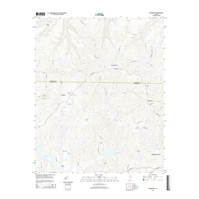 2014 Frankfort2014 Print · USGSNorthwest Alabama at the start of the 2010s reveals a landscape of high ridges and quiet community corners. Genealogists can trace family heritage through numerous sites like Burnt Church Cem, Malone Cem, and Frankfort Cem.
 - 2014 Map of Sinking Creek, 2014 Print
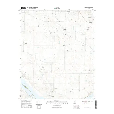 2014 Sinking Creek2014 Print · USGSLauderdale County's riverfront and agricultural uplands are shown in detail during the early 2010s. Researchers can trace dozens of family burial sites including Sherrod Cem and Pearson Cem, or locate landmarks like The Sinks and Roses Bluff.
Showing maps 1-25 of 66
Top cities of Colbert County
- Muscle Shoals historical maps
- Sheffield historical maps
- Tuscumbia historical maps
- Littleville historical maps
- Cherokee historical maps
- Leighton historical maps
Frequently asked questions
- What are the different types of historical maps available for Colbert County?
- What is the oldest map of Colbert County?
- Where can I purchase historical maps of Colbert County for my home or office?
- Where can I download high-res historical maps of Colbert County?
- Are there historical topographic maps available for Colbert County?
- Is there historical aerial imagery available for Colbert County?
- Where are historical maps of Colbert County sourced from?