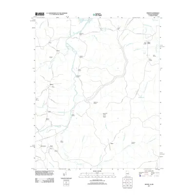
2011 Map of Bishop
USGS Topo · Published 2011About this map
The Natchez Trace Monument stands as a focal point near Allsboro, marking the intersection of modern travel and the historic Old Natchez Trace Rd. This corner of Northwest Alabama is defined by the winding course of Bear Creek and its many tributaries, including Cripple Deer Creek and Johnson Branch, which cut through a landscape of named hollows like Templeton Hollow and Gallymore Hollow. Small rural communities such as Bishop, Maud, and Burnstown are scattered across the terrain, connected by a network of backroads like State Line Rd and Peterstown Rd. Genealogists will find a high density of family and community burial grounds, from the Mount Hester Cemetery in the east to Liberty Cemetery in the north. The presence of Pickwick Lake and Asphalt Lake further illustrates the complex water and resource management of the region.
Find a feature on this map
73 named features on this map. Tap any name to fly to it.
Don’t see what you’re looking for? This feature index may not catch every label — zoom into the map to look around manually.
Map Details
Editions of this 2011 Bishop Map
This is the sole edition of this map. No revisions or reprints were ever made.
Other maps of this area

1911 · Iuka
USGS Topo · 1:48,000

1914 · Iuka
USGS Topo · 1:62,500

1924 · Gravelly Springs
USGS Topo · 1:48,000

1925 · Barton
USGS Topo · 1:62,500

1926 · Barton
USGS Topo · 1:48,000

1926 · Gravelly Springs
USGS Topo · 1:62,500

1929 · Barton
USGS Topo · 1:62,500

1935 · Cherokee
USGS Topo · 1:24,000

1935 · Iuka
USGS Topo · 1:24,000

1935 · Pleasant Site
USGS Topo · 1:24,000