Old Maps of Rockford, Alabama for Academic Research
Study the evolution of Rockford with 19 high-resolution historic maps. Whether you're teaching, researching, or modeling changes in land use, these maps provide essential visual documentation of urban, environmental, and geographic change.
- Analyze long-term change: Track patterns in development, transportation, and natural features.
- Ideal for environmental or urban studies: Support academic projects with primary historical map data.
- Use in the classroom or lab: Educators and researchers rely on these maps to bring historical context to life.
These maps are a powerful tool for teaching, research, and visualizing how Rockford has changed over the decades.
Rockford, AL maps
(19)- 1901 Map of Wetumpka
 1901 Wetumpka1901 Print · USGSCentral Alabama at the dawn of the twentieth century was a landscape of river ferries and emerging rail lines. Genealogists and local historians can trace family-named river crossings like Knights Ferry and Nobles Ferry or early community centers such as Nixburg and Eclectic.
 - 1903 Map of Wetumpka
 1903 Wetumpka1903 Print · USGSCentral Alabama at the turn of the century remains a landscape of river ferries and emerging rail lines along the Coosa River. Genealogists and researchers can trace the early locations of Sykes Mills, Liberty Church, and river crossings like Nobles Ferry.3 unique versions available
 - 1953 Map of Montgomery, 1964 Print
 1953 Montgomery1964 Print · USGSCentral Alabama's river-and-rail corridor is mapped here in the mid-fifties, showing the vital connections between the capital and the Black Belt. Genealogists and historians can trace rail depots and crossroads from Marion Junction to Wetumpka, alongside landmarks like Craig AFB.4 unique versions available
 - 1956 Map of Montgomery
 1956 Montgomery1956 Print · USGSCentral Alabama in the mid-1950s shows a landscape defined by its great river systems and a booming military aviation presence. Genealogists and historians can trace the rail corridors of the Southern Railway and locate tactical bases like Maxwell AFB and Craig AFB.
 - 1957 Map of Montgomery
 1957 Montgomery1957 Print · USGSCentral Alabama in the mid-fifties is defined by the winding Alabama River and a strategic network of military bases and rail lines. Trace family roots in Montgomery and Selma, or locate landmarks like Craig AFB and the State Capitol before the interstate era.
 - 1971 Map of Rockford, 1973 Print
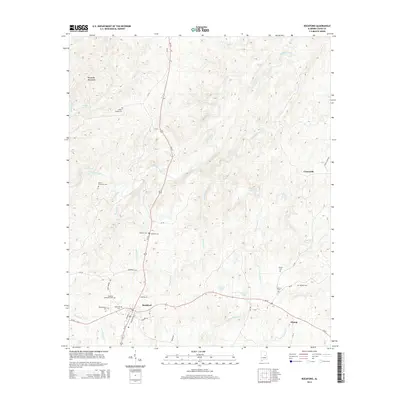
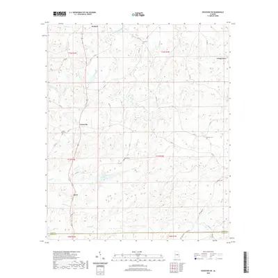
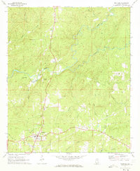 1971 Rockford1973 Print · USGSCoosa County was characterized by quiet rural life and creek-bottom timberlands in the early seventies. Genealogists and local historians can trace family ties at Miller-Patterson Cem and Rockford Ch, or locate the old High School in town.2 unique versions available
 - 1971 Map of Rockford SW, 1973 Print
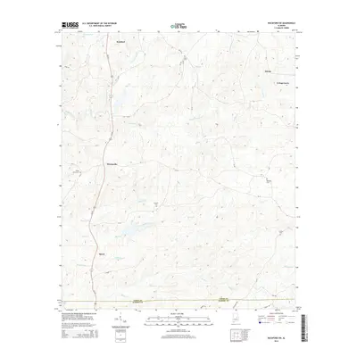
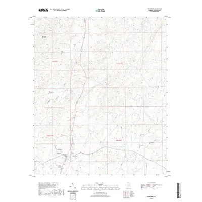
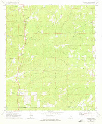 1971 Rockford SW1973 Print · USGSCoosa County in the early 1970s remains a landscape of upland farms and traditional community anchors. Researchers can trace the heritage of central Alabama through sites like Pentonville, Mt Nebo Ch, and the Lindsey Cem.2 unique versions available
 - 1986 Map of Clanton
 1986 Clanton1986 Print · USGSCentral Alabama’s river-driven landscape is captured here in the mid-eighties, centered on the growth of Clanton and the hydroelectric lakes of the Coosa River. Genealogists and historians can trace the Old Indian Treaty Boundary or locate landmarks like Sykes Mill and Collins Chapel.
 - 1987 Map of Clanton, 1990 Print
 1987 Clanton1990 Print · USGSCentral Alabama in the late eighties reveals a landscape of massive river reservoirs and forest reserves. Trace the rail-and-road corridors through Clanton and Wetumpka to find historic sites like Fort Toulouse and Collins Chapel.
 - 2011 Map of Rockford SW, 2011 Print
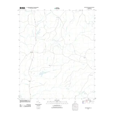 2011 Rockford SW2011 Print · USGSCovers Rockford, including Pentonville, Speed, and other nearby areas
 - 2011 Map of Rockford, 2011 Print
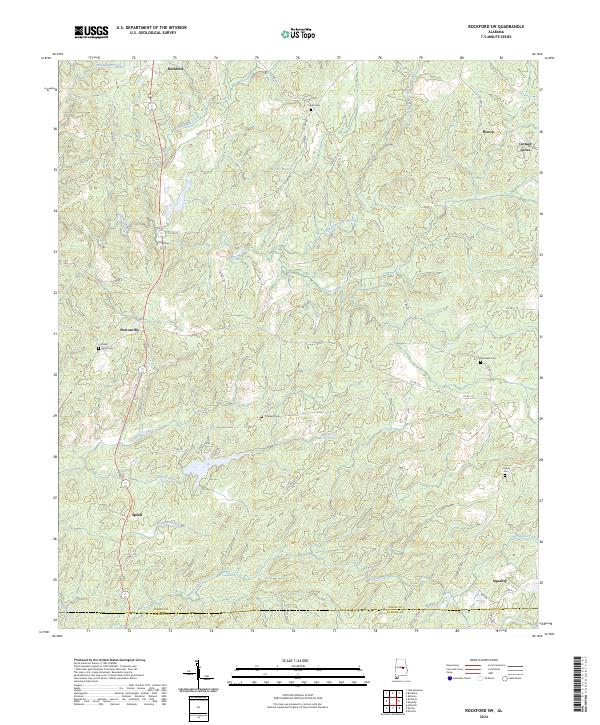
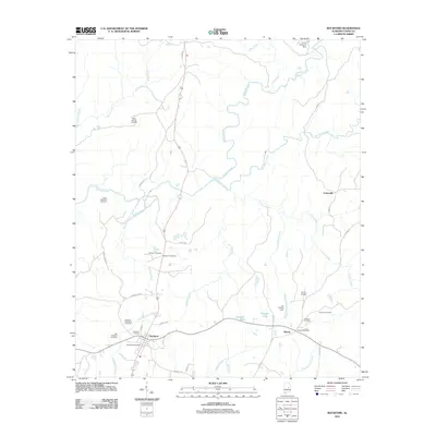 2011 Rockford2011 Print · USGSCovers Rockford, including Hissop, Crewsville, and other nearby areas
 - 2014 Map of Rockford, 2014 Print
 2014 Rockford2014 Print · USGSCovers Rockford, including Hissop, Crewsville, and other nearby areas
 - 2014 Map of Rockford SW, 2014 Print
 2014 Rockford SW2014 Print · USGSCovers Rockford, including Pentonville, Speed, and other nearby areas
 - 2018 Map of Rockford, 2018 Print
 2018 Rockford2018 Print · USGSCovers Rockford, including Hissop, Crewsville, and other nearby areas
 - 2018 Map of Rockford SW, 2018 Print
 2018 Rockford SW2018 Print · USGSCovers Rockford, including Pentonville, Speed, and other nearby areas
 - 2020 Map of Rockford SW, 2020 Print
 2020 Rockford SW2020 Print · USGSCovers Rockford, including Pentonville, Speed, and other nearby areas
 - 2020 Map of Rockford, 2020 Print
 2020 Rockford2020 Print · USGSCovers Rockford, including Hissop, Crewsville, and other nearby areas
 - 2024 Map of Rockford SW, 2024 Print
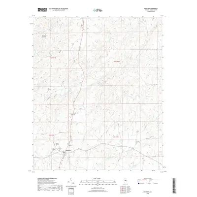
 2024 Rockford SW2024 Print · USGSCoosa County’s rolling landscape is shown here in the 2020s, centered on rural communities like Pentonville and Rockford. Researchers can locate several historic burial sites, including Shady Grove Cem and Concord Cem, alongside the winding course of Weoka Creek.
 - 2024 Map of Rockford, 2024 Print
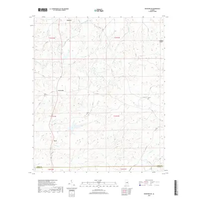
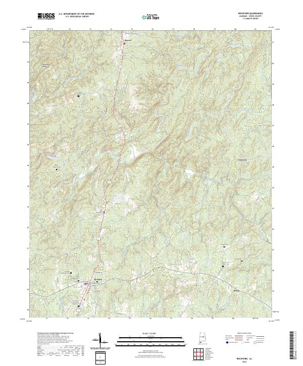 2024 Rockford2024 Print · USGSRockford and the surrounding Coosa County hills are documented here in recent detail, showing the rural character of central Alabama. Genealogists can trace family roots through numerous sites like Miller Patterson Cem, Sears Chapel Cem, and the Coosa County Courthouse.
End of results
Showing maps 1-19 of 19
Top cities near Rockford
- Alexander City historical maps
- Sylacauga historical maps
- Stewartville historical maps
- Goodwater historical maps
- Eclectic historical maps
- Nixburg historical maps
See more
Frequently asked questions
- What are the different types of historical maps available for Rockford?
- What is the oldest map of Rockford?
- Where can I purchase historical maps of Rockford for my home or office?
- Where can I download high-res historical maps of Rockford?
- Are there historical topographic maps available for Rockford?
- Is there historical aerial imagery available for Rockford?
- Where are historical maps of Rockford sourced from?