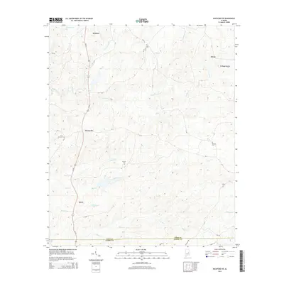
2014 Map of Rockford SW
USGS Topo · Published 2014About this map
Hachemedega Cr and Weoka Cr wind through this rural section of Alabama, framing a landscape defined by small settlements and historic cemeteries. Located southwest of the county seat, the area around Pentonville and Speed is marked by a network of county roads like CR-14 and CR-10, which connect family and community landmarks. Genealogists will find significant value in the distribution of burial sites, including Union Cem in the north and Lindsey Cem to the southeast near Bethesda Cr. The map details the transition from Coosa Co into Elmore Co along its southern boundary, tracing the numerous tributaries like Lybrand Cr and Speed Creek that feed into the larger local drainage systems. This 2014 survey documents the enduring rural character of central Alabama, where crossroads such as Cottage Grove and Hissop remain as primary focal points for the surrounding countryside.
Find a feature on this map
42 named features on this map. Tap any name to fly to it.
Don’t see what you’re looking for? This feature index may not catch every label — zoom into the map to look around manually.
Map Details
Editions of this 2014 Rockford SW Map
This is the sole edition of this map. No revisions or reprints were ever made.
Other maps of this area

1901 · Wetumpka
USGS Topo · 1:125,000

1901 · Wetumpka
USGS Topo · 1:62,500

1903 · Wetumpka
USGS Topo · 1:125,000

1953 · Montgomery
USGS Topo · 1:250,000

1956 · Montgomery
USGS Topo · 1:250,000

1957 · Montgomery
USGS Topo · 1:250,000
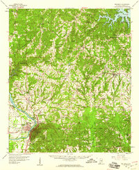
1959 · Wetumpka
USGS Topo · 1:62,500

1959 · Elmore
USGS Topo · 1:62,500

1971 · Richville
USGS Topo · 1:24,000
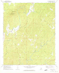
1971 · Flag Mountain
USGS Topo · 1:24,000