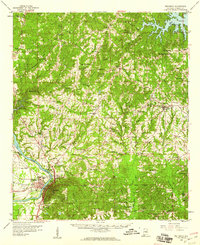
1959 Map of Wetumpka
USGS Topo · Published 1960About this map
The Coosa River flows through the heart of this landscape, anchoring the settlement of Wetumpka at the confluence of several major waterways. In the late 1950s, the area shows a dense network of rural life, marked by an unusual concentration of historic educational and correctional institutions, including Tutwiler Prison, the County Training Sch, and Youngs Academy. The terrain is defined by a series of creeks like Soffahatchee Creek and Tumkeehatchee Creek that drain toward the Coosa and Jordan Lake.
Find a feature on this map
88 named features on this map. Tap any name to fly to it.
Don’t see what you’re looking for? This feature index may not catch every label — zoom into the map to look around manually.
Map Details
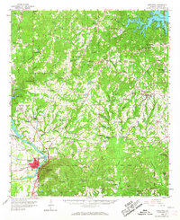
Editions of this 1959 Wetumpka Map
2 editions found
Other maps of this area

1901 · Wetumpka
USGS Topo · 1:125,000

1901 · Wetumpka
USGS Topo · 1:62,500

1903 · Wetumpka
USGS Topo · 1:125,000

1906 · Dadeville
USGS Topo · 1:125,000

1927 · Montgomery
USGS Topo · 1:48,000

1930 · Montgomery
USGS Topo · 1:62,500

1953 · Montgomery
USGS Topo · 1:250,000

1955 · Phenix City
USGS Topo · 1:250,000

1956 · Montgomery
USGS Topo · 1:250,000

1957 · Phenix City
USGS Topo · 1:250,000