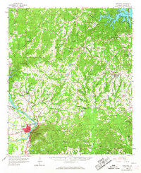
1959 Map of Wetumpka
USGS Topo · Published 1967About this map
The Coosa River anchors the southwestern corner of this landscape, flowing through Wetumpka where the L & N RR and various radio towers like Radio Tower (WETU) speak to the mid-century infrastructure of the Elmore County seat. North of the city, the Old Indian Boundary cuts across the terrain, a significant historical line separating the river bottomlands from the dense network of creeks like Sofkahatchee Creek and Channahatchee Creek.
Find a feature on this map
100 named features on this map. Tap any name to fly to it.
Don’t see what you’re looking for? This feature index may not catch every label — zoom into the map to look around manually.
Map Details
Editions of this 1959 Wetumpka Map
2 editions found
Other maps of this area

1901 · Wetumpka
USGS Topo · 1:125,000

1901 · Wetumpka
USGS Topo · 1:62,500

1903 · Wetumpka
USGS Topo · 1:125,000

1906 · Dadeville
USGS Topo · 1:125,000

1927 · Montgomery
USGS Topo · 1:48,000

1930 · Montgomery
USGS Topo · 1:62,500

1953 · Montgomery
USGS Topo · 1:250,000

1955 · Phenix City
USGS Topo · 1:250,000

1956 · Montgomery
USGS Topo · 1:250,000

1957 · Phenix City
USGS Topo · 1:250,000