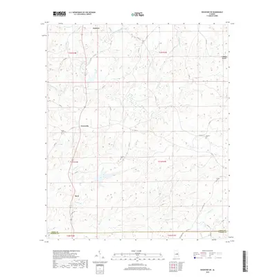
2018 Map of Rockford SW
USGS Topo · Published 2018About this map
Rockford anchors the northern reaches of this central Alabama landscape, where the terrain is defined by a dense network of creek valleys and drainage basins. Moving south along the county roads, the small settlements of Pentonville and Speed appear as historic junctions in the rural fabric. The area is notable for its numerous family and community burial grounds, including Shady Grove Cem and Rehobeth Cem, which serve as vital markers for genealogical research in Coosa County. Water dominates the geography, with Hachemedega Cr and Swamp Cr carving paths through the northern sections while Weoka Cr and Bethesda Cr cross the southern border near the Elmore County line. The settlement pattern follows the high ground between these waterways, connected by a network of winding routes like Austin Mill Rd and Co Rd 18.
Find a feature on this map
45 named features on this map. Tap any name to fly to it.
Don’t see what you’re looking for? This feature index may not catch every label — zoom into the map to look around manually.
Map Details
Editions of this 2018 Rockford SW Map
This is the sole edition of this map. No revisions or reprints were ever made.
Other maps of this area

1901 · Wetumpka
USGS Topo · 1:125,000

1901 · Wetumpka
USGS Topo · 1:62,500

1903 · Wetumpka
USGS Topo · 1:125,000

1953 · Montgomery
USGS Topo · 1:250,000

1956 · Montgomery
USGS Topo · 1:250,000

1957 · Montgomery
USGS Topo · 1:250,000
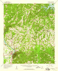
1959 · Wetumpka
USGS Topo · 1:62,500

1959 · Elmore
USGS Topo · 1:62,500

1971 · Richville
USGS Topo · 1:24,000
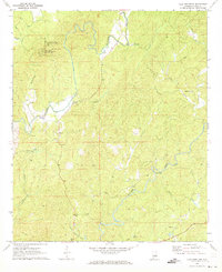
1971 · Flag Mountain
USGS Topo · 1:24,000