2020s Maps of DeKalb County, Alabama
Explore 51 historic maps of DeKalb County from the 2020s. These maps offer a rare glimpse into what life looked like during the 2020s — showing old roads, neighborhoods, homes, and landmarks that have changed or disappeared over time.
Whether you're researching your family's past, planning a metal detecting trip, or studying how DeKalb County's landscape evolved across the 2020s, these high-resolution maps are a powerful tool for exploring the history of this region.
- Focus on a specific era: All maps on this page are from the 2020s, giving you a focused view of this time period.
- See what’s changed: Compare century-old streets, trails, and buildings to today's modern landscape using overlays and satellite layers.
- Research with precision: Use these maps for genealogy, historical research, land use analysis, or educational projects.
- View, download, or print: Maps are fully viewable online in high resolution, and can be downloaded or printed for your own records.
Start exploring DeKalb County's history through authentic maps from the 2020s. This is your window into the past.
DeKalb County, AL maps
(51)- 2020 Map of Trenton, 2020 Print
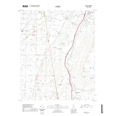 2020 Trenton2020 Print · USGSLookout Mountain and Sand Mountain tower over the Georgia-Alabama borderlands in this recent survey of the region. Genealogists can trace family names through numerous rural burial sites like Daniel Cem and Newman Cem while exploring the layout of Trenton and Rising Fawn.
 - 2020 Map of Little River, 2020 Print
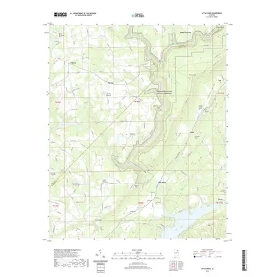 2020 Little River2020 Print · USGSDeKalb and Cherokee counties are showcased here in the modern era as the plateau drops toward the Coosa River valley. Researchers can find numerous family burial grounds and country churches, from Tuckers Chapel Cem to Black Oak Church and the Flying M Ranch Airport.
 - 2020 Map of Flat Rock, 2020 Print
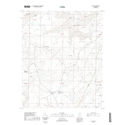 2020 Flat Rock2020 Print · USGSUpper Sand Mountain near the Jackson and DeKalb county line is shown here in the 2020s, revealing a landscape of high plateau settlements and deep gulfs. Genealogists can locate numerous rural burial sites including Liberty Hill Cem, Shrader Cem, and Weldon Church Cem.
 - 2020 Map of Henagar, 2020 Print
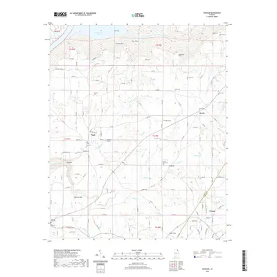 2020 Henagar2020 Print · USGSSand Mountain and the southern shores of the Tennessee River valley are shown in detail during this modern era. Local history researchers can trace family names and small-town footprints across Pisgah, Henagar, and several historic burial sites like Rosalie Cem and Watkins Cem.
 - 2020 Map of Keener, 2020 Print
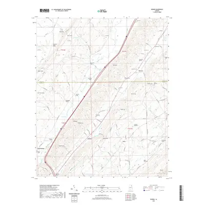 2020 Keener2020 Print · USGSNortheast Alabama’s ridge-and-valley terrain is captured here in the 2020s, showing the intersection of DeKalb and Etowah counties. Genealogists can locate numerous burial sites like Boyd Cem and Mathis Cem, or trace the historical gap crossings at Roden Gap and Tidwell Gap.
 - 2020 Map of Chavies, 2020 Print
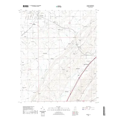 2020 Chavies2020 Print · USGSDeKalb County ridge-and-valley geography is on full display in this modern survey of the plateau and Big Wills Valley. Researchers can locate historic rural sites like Hughes Mill, Killian Mill, and several family cemeteries including Old Antioch Cem.
 - 2020 Map of Fort Payne, 2020 Print
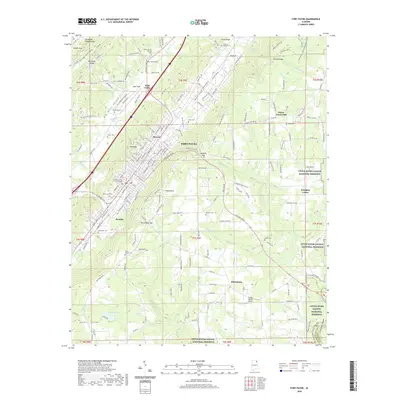 2020 Fort Payne2020 Print · USGSFort Payne and the surrounding DeKalb County highlands are shown here in the early twenty-first century as the city expanded along the base of Big Ridge. Genealogists and local historians can locate many family cemeteries and community centers, including Husky Chapel Cem, Minvale, and the DeKalb County Courthouse.
 - 2020 Map of Ider, 2020 Print
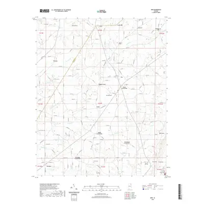 2020 Ider2020 Print · USGSDeKalb County’s plateau communities are captured here in the early twenty-first century as they center around historic crossroads and family cemeteries. Genealogists can trace local heritage at Pilgrims Home Church Cem or find old landmarks like Yorks Mill and Leon's Landing.
 - 2020 Map of Jamestown, 2020 Print
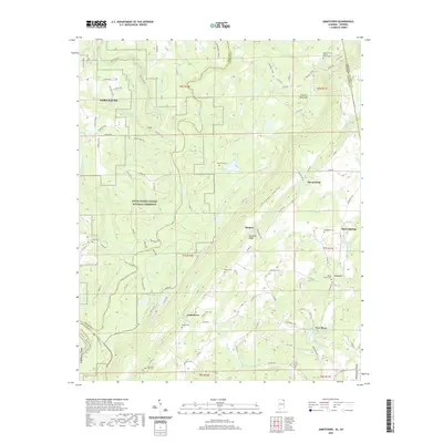 2020 Jamestown2020 Print · USGSThe Alabama and Georgia borderlands meet along the ridges of Lookout Mountain in this modern topographical survey. Historians can locate family roots at Oak Grove Cem or trace the early paths near Burnt House Ford and the community of Jamestown.
 - 2020 Map of Portersville, 2020 Print
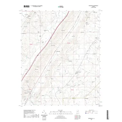 2020 Portersville2020 Print · USGSDeKalb and Cherokee Counties appear in this modern survey of the Alabama valley-and-ridge country. Genealogists can trace local legacies at Anthony Collins Cem, Mount Vernon Church Cem, and the old rail crossroads of Collinsville.
 - 2020 Map of Valley Head, 2020 Print
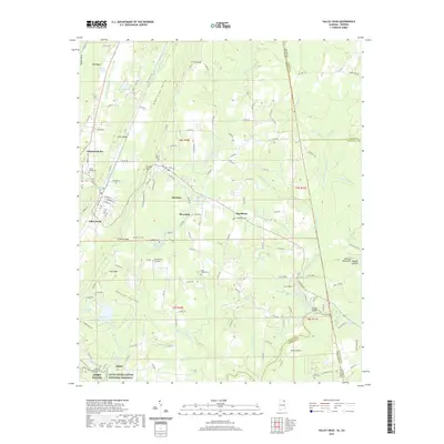 2020 Valley Head2020 Print · USGSThe Alabama-Georgia state line runs through this DeKalb County landscape as it appeared recently, where the West Fork Little River begins its descent. You can trace family history at Valley Head Cem or explore the heights of Mentone and Sunset Rock.
 - 2020 Map of Dutton, 2020 Print
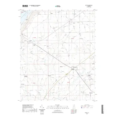 2020 Dutton2020 Print · USGSSand Mountain and the surrounding plateaus of northeast Alabama are shown here in modern detail. Researchers can locate many family burial sites and rural junctions, including Chanley Chapel Cem, Old Sardis Cem, and the Northeast Alabama Community College campus.
 - 2020 Map of Sylvania, 2020 Print
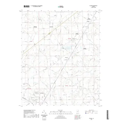 2020 Sylvania2020 Print · USGSDeKalb County is shown at a time of modern growth while maintaining its rural character across the plateau. Researchers can locate family landmarks at New Bethel Church Cem, trace the waters of Browder Spring, or explore the old junctions at Elliott Crossroads.
 - 2020 Map of Leesburg, 2020 Print
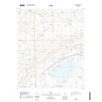 2020 Leesburg2020 Print · USGSNortheast Alabama’s Lookout Mountain and the waters of the Coosa River meet here during the early twenty-first century. Genealogists can trace family landmarks like Shepard Cem, Dixon Shop, and Pleasant Valley Church Cem along the ridges.
 - 2020 Map of Fyffe, 2020 Print
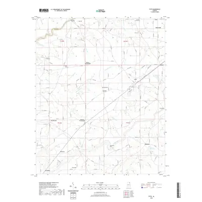 2020 Fyffe2020 Print · USGSDeKalb County’s plateau landscape comes into focus during this 2020 survey, centered on the communities atop Sand Mountain. Researchers can locate several historic burial sites and congregations, including Warren Cem, Greens Chapel Church, and the site of the Old Sauty Mill Bridge.
 - 2020 Map of Dugout Valley, 2020 Print
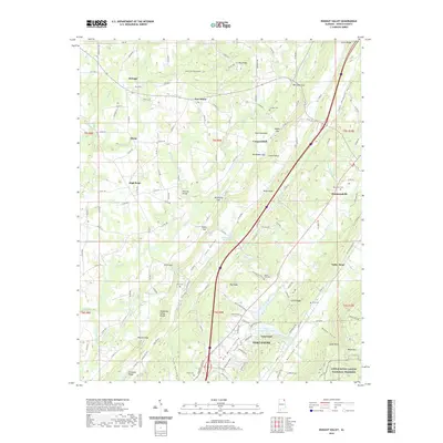 2020 Dugout Valley2020 Print · USGSDeKalb County enters the new millennium with its historic valley settlements and mountain plateaus clearly defined. Researchers can trace family roots at Price Cem and Smith Cem or follow the path of the Norfolk Southern rail through Valley Head.
 - 2020 Map of Sulphur Springs, 2020 Print
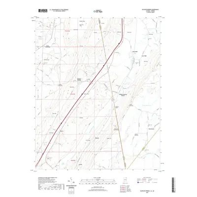 2020 Sulphur Springs2020 Print · USGSThe Wills Valley and the high ridges of Lookout Mountain meet along the Alabama-Georgia border in this 2020 survey. Genealogists can trace family-named sites like Pannell Cem, Amos Mill, and the settlements of Battelle and Kaolin.
 - 2020 Map of Crossville, 2020 Print
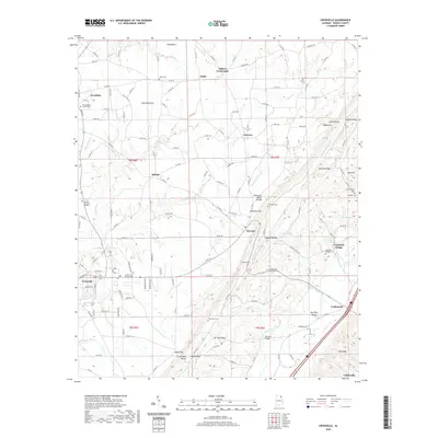 2020 Crossville2020 Print · USGSDeKalb County’s plateau and valley terrain are documented here in the early twenty-first century as rural life centers on Sand Mountain. Local historians can trace old homestead sites near Gilbert Crossroads and Ophir, or locate family burials at Union Grove Cem and Gilbreath Cem.
 - 2020 Map of Painter, 2020 Print
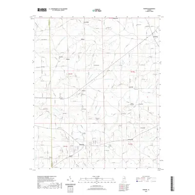 2020 Painter2020 Print · USGSDeKalb County’s high plateau is shown in 2020, revealing a landscape defined by Sand Mountain’s rural settlements and creek-carved terrain. Genealogists can locate family sites at New Home Church Cem, Neighbors Hollow, and historic crossings like Kirby Bridge.
 - 2020 Map of Rodentown, 2020 Print
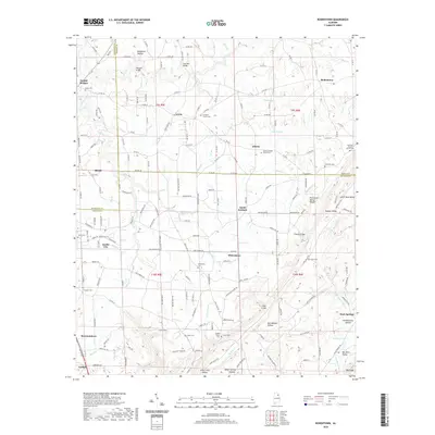 2020 Rodentown2020 Print · USGSThe ridges and valleys of Northeast Alabama come into focus here during the early twenty-first century, showing the intersection of Marshall, DeKalb, and Etowah counties. Genealogists and local historians can locate many rural burial sites such as Liberty United Church Cem, Union Cem, and Scott Cem.
 - 2020 Map of Grove Oak, 2020 Print
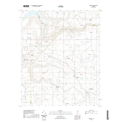 2020 Grove Oak2020 Print · USGSNortheast Alabama’s high plateau is captured here at the meeting point of Marshall, Jackson, and DeKalb counties. Researchers can trace rural cemeteries and local landmarks like High Falls Natural Bridge, Bucks Pocket, and the Piney Grove Church Cemetery.
 - 2024 Map of Chavies, 2024 Print
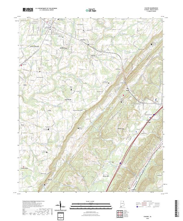 2024 Chavies2024 Print · USGSDeKalb County’s plateau landscape is captured here in the contemporary era, showing the growth of Rainsville and Fort Payne. Researchers can trace family sites at Old Mount Zion Cem or follow the terrain from Shinbone Ridge down to Big Wills Valley.
 - 2024 Map of Sulphur Springs, 2024 Print
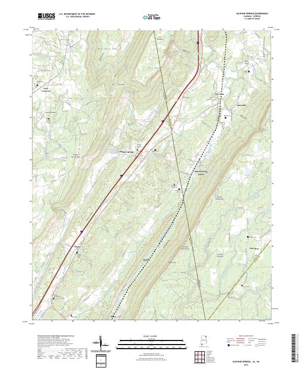 2024 Sulphur Springs2024 Print · USGSDeKalb County and the borderlands of Georgia appear here in contemporary detail, showing the deep valleys and plateaus that define this region. Genealogists can trace numerous family sites such as Finlayson Family Cem, Miller Cem, and Beene Cem across the mountain ridges.
 - 2024 Map of Little River, 2024 Print
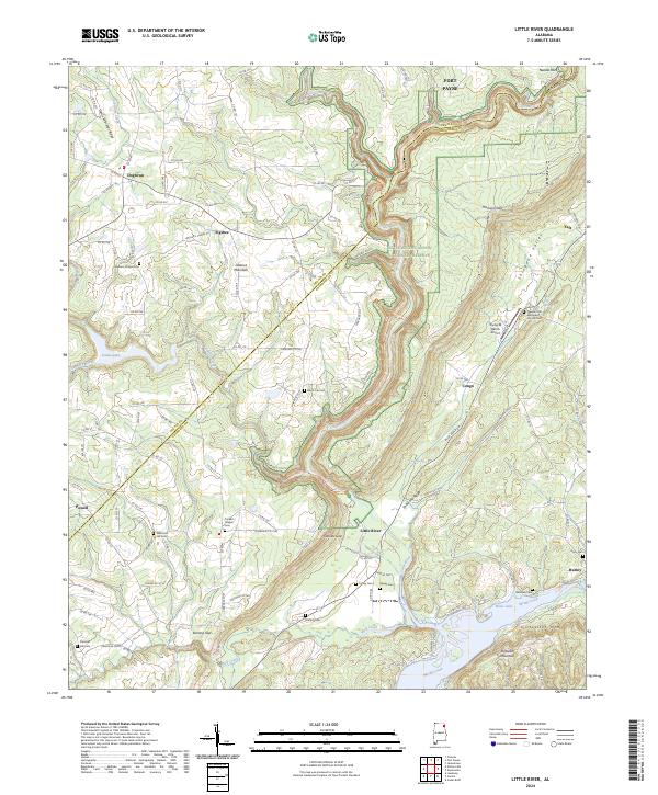 2024 Little River2024 Print · USGSThe deep gorge of the Little River Canyon National Preserve dominates this modern landscape on the DeKalb and Cherokee county line. Researchers can trace rural lineages at Pleasant Hill Methodist Church Cem and Tucker's Chapel Cem.
 - 2024 Map of Jamestown, 2024 Print
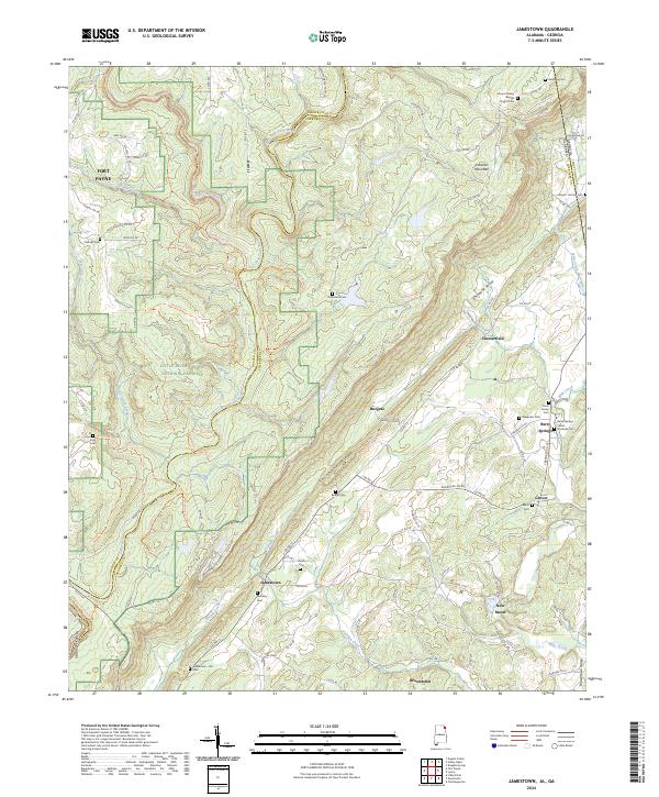 2024 Jamestown2024 Print · USGSThe Alabama and Georgia borderlands near the turn of the twenty-first century reveal a landscape of deep canyons and family homesteads. Genealogists can trace rural roots through the Indian Stockade Cem, Moseley Cem, and historic church sites like Mount Calvary Baptist Church Cem.
Showing maps 1-25 of 51
Top cities of DeKalb County
- Fort Payne historical maps
- Rainsville historical maps
- Henagar historical maps
- Collinsville historical maps
- Crossville historical maps
- Sylvania historical maps
See more
Frequently asked questions
- What are the different types of historical maps available for DeKalb County?
- What is the oldest map of DeKalb County?
- Where can I purchase historical maps of DeKalb County for my home or office?
- Where can I download high-res historical maps of DeKalb County?
- Are there historical topographic maps available for DeKalb County?
- Is there historical aerial imagery available for DeKalb County?
- Where are historical maps of DeKalb County sourced from?