Old Maps of Falkner, Alabama for Genealogy
Trace your family roots with 16 historic maps of Falkner. These high-res maps reveal old neighborhoods, homesites, landmarks, and streets — helping you uncover where your ancestors lived and how the area evolved over time.
- Explore historic neighborhoods: Identify where your relatives may have lived in the 1800s or 1900s.
- Compare maps over time: Trace the changes in streets, buildings, and landmarks for multi-generational research.
- Perfect for genealogy & ancestry research: Used by family historians and researchers to map out lineage and migration.
These maps are an incredible resource for exploring your personal connection to Falkner's past.
Falkner, AL maps
(16)- 1901 Map of Wetumpka
 1901 Wetumpka1901 Print · USGSCentral Alabama at the dawn of the twentieth century was a landscape of river ferries and emerging rail lines. Genealogists and local historians can trace family-named river crossings like Knights Ferry and Nobles Ferry or early community centers such as Nixburg and Eclectic.
 - 1901 Map of Wetumpka
 1901 Wetumpka1901 Print · USGSCentral Alabama at the turn of the century centers on the river junctions and early rail lines of Elmore and Coosa Counties. Trace the historical routes of the Louisville & Nashville RR and find long-forgotten sites like Sykes Mills and Liberty Church.
 - 1903 Map of Wetumpka
 1903 Wetumpka1903 Print · USGSCentral Alabama at the turn of the century remains a landscape of river ferries and emerging rail lines along the Coosa River. Genealogists and researchers can trace the early locations of Sykes Mills, Liberty Church, and river crossings like Nobles Ferry.3 unique versions available
 - 1953 Map of Montgomery, 1964 Print
 1953 Montgomery1964 Print · USGSCentral Alabama's river-and-rail corridor is mapped here in the mid-fifties, showing the vital connections between the capital and the Black Belt. Genealogists and historians can trace rail depots and crossroads from Marion Junction to Wetumpka, alongside landmarks like Craig AFB.4 unique versions available
 - 1956 Map of Montgomery
 1956 Montgomery1956 Print · USGSCentral Alabama in the mid-1950s shows a landscape defined by its great river systems and a booming military aviation presence. Genealogists and historians can trace the rail corridors of the Southern Railway and locate tactical bases like Maxwell AFB and Craig AFB.
 - 1957 Map of Montgomery
 1957 Montgomery1957 Print · USGSCentral Alabama in the mid-fifties is defined by the winding Alabama River and a strategic network of military bases and rail lines. Trace family roots in Montgomery and Selma, or locate landmarks like Craig AFB and the State Capitol before the interstate era.
 - 1959 Map of Wetumpka, 1960 Print
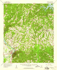 1959 Wetumpka1960 Print · USGSWetumpka and the Coosa River valley are shown in the late fifties as the regional rail and river network supported a growing community. Genealogists can trace family landmarks across Eclectic and Seman, from Tutwiler Prison to the Old Indian Boundary.2 unique versions available
 - 1984 Map of Eclectic, 1985 Print
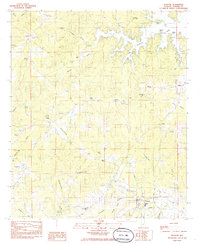 1984 Eclectic1985 Print · USGSElmore County life in the mid-eighties centers on the town of Eclectic and the southern reaches of Lake Martin. Genealogists and local historians can trace rural landmarks from Seman to Halls Chapel and the Bullard Cem.
 - 1986 Map of Clanton
 1986 Clanton1986 Print · USGSCentral Alabama’s river-driven landscape is captured here in the mid-eighties, centered on the growth of Clanton and the hydroelectric lakes of the Coosa River. Genealogists and historians can trace the Old Indian Treaty Boundary or locate landmarks like Sykes Mill and Collins Chapel.
 - 1987 Map of Clanton, 1990 Print
 1987 Clanton1990 Print · USGSCentral Alabama in the late eighties reveals a landscape of massive river reservoirs and forest reserves. Trace the rail-and-road corridors through Clanton and Wetumpka to find historic sites like Fort Toulouse and Collins Chapel.
 - 2011 Map of Eclectic, 2011 Print
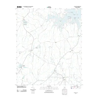 2011 Eclectic2011 Print · USGSElmore County's rural communities and lakeside reaches are captured here during a period of steady residential and recreational growth. Trace family roots and local history through the Eclectic Post Office, the Emmanuel Holiness Campground, and several cemeteries like Cotton Cemetery.
 - 2014 Map of Eclectic, 2014 Print
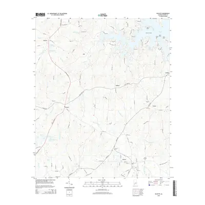 2014 Eclectic2014 Print · USGSElmore County's inland ridges and lakeside communities are captured here in the early twenty-first century. Researchers can trace family sites and old road alignments near Eclectic, Cotton Cem, and the historic Central Plank Rd.
 - 2018 Map of Eclectic, 2018 Print
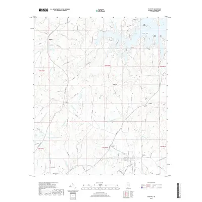 2018 Eclectic2018 Print · USGSCovers Falkner, including Eclectic, Kid, and other nearby areas
 - 2020 Map of Eclectic, 2020 Print
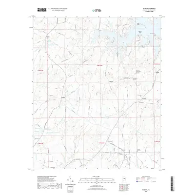 2020 Eclectic2020 Print · USGSCovers Falkner, including Eclectic, Kid, and other nearby areas
 - 2023 Map of Eclectic, 2023 Print
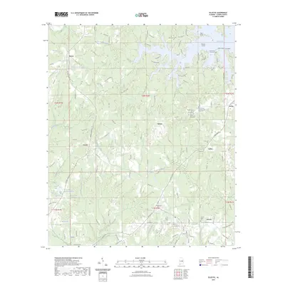 2023 Eclectic2023 Print · USGSCovers Falkner, including Eclectic, Kid, and other nearby areas
 - 2024 Map of Eclectic, 2024 Print
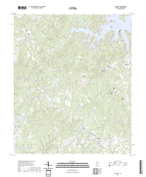 2024 Eclectic2024 Print · USGSElmore County at the modern day is a landscape of established rural communities and extensive waterways. Genealogists can trace family roots at Mount Gilead Primitive Baptist Church Cem or find old homesteads near Seman and Falkner.
End of results
Showing maps 1-16 of 16
Top cities near Falkner
- Alexander City historical maps
- Wetumpka historical maps
- Tallassee historical maps
- Emerald Mountain historical maps
- Blue Ridge historical maps
- Eclectic historical maps
See more
Frequently asked questions
- What are the different types of historical maps available for Falkner?
- What is the oldest map of Falkner?
- Where can I purchase historical maps of Falkner for my home or office?
- Where can I download high-res historical maps of Falkner?
- Are there historical topographic maps available for Falkner?
- Is there historical aerial imagery available for Falkner?
- Where are historical maps of Falkner sourced from?