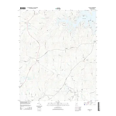
2014 Map of Eclectic
USGS Topo · Published 2014About this map
Eclectic anchors the southern portion of this Elmore County landscape, where the town's street grid meets the winding courses of Channahatchee Cr and Tunkeehatchee Cr. This modern survey reveals a region defined by its water resources and rural hamlets, from the established settlement of Central to the northern reaches of Martin Lake. The topography is marked by a complex network of creeks like Sofkahatchee Cr and Chubbehatchee Cr that feed into larger reservoirs and ponds, including Nolen Davis Lake Number One and Maier Lake.
Find a feature on this map
117 named features on this map. Tap any name to fly to it.
Don’t see what you’re looking for? This feature index may not catch every label — zoom into the map to look around manually.
Map Details
Editions of this 2014 Eclectic Map
This is the sole edition of this map. No revisions or reprints were ever made.
Other maps of this area
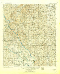
1901 · Wetumpka
USGS Topo · 1:125,000
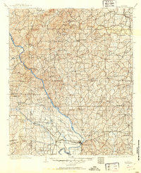
1901 · Wetumpka
USGS Topo · 1:62,500
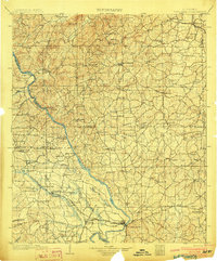
1903 · Wetumpka
USGS Topo · 1:125,000
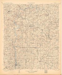
1906 · Dadeville
USGS Topo · 1:125,000
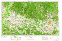
1953 · Montgomery
USGS Topo · 1:250,000
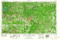
1955 · Phenix City
USGS Topo · 1:250,000
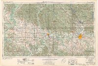
1956 · Montgomery
USGS Topo · 1:250,000
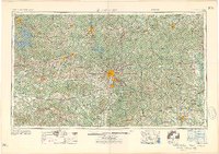
1957 · Phenix City
USGS Topo · 1:250,000
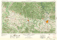
1957 · Montgomery
USGS Topo · 1:250,000
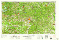
1958 · Phenix City
USGS Topo · 1:250,000