Old Maps of Berry, Alabama for Metal Detecting
Plan your next treasure hunt with 16 historic maps of Berry. Find old homesites, ghost towns, trails, and gathering spots that may be lost to time — perfect for identifying promising metal detecting locations.
- Locate forgotten sites: Uncover places like long-lost settlements, abandoned rail lines, or gathering spots.
- Plan better hunts: Use map overlays combined with LiDAR or satellite views to narrow in on historically rich areas.
- Made for detectorists: Thousands of hobbyists use these maps to discover relics, coins, and hidden history.
Use these historic maps to boost your research and find new opportunities beneath the surface of Berry.
Berry, AL maps
(16)- 1953 Map of Birmingham, 1964 Print
 1953 Birmingham1964 Print · USGSCentral Alabama at mid-century shows a landscape defined by industrial expansion and the iron-rich ridges surrounding Birmingham. Researchers can trace the extensive rail networks of the L & N RR or locate historic federal sites like the Anniston Ordnance Depot.4 unique versions available
 - 1956 Map of Birmingham
 1956 Birmingham1956 Print · USGSCentral Alabama in the mid-fifties exhibits a landscape of growing cities and deep-rooted industrial corridors. Genealogists and historians can trace the development of suburban Mountain Brook or locate regional hubs like Sylacauga and Jasper.
 - 1957 Map of Birmingham
 1957 Birmingham1957 Print · USGSNorth-Central Alabama in the mid-fifties is an industrial powerhouse centered on the steel valleys and sprawling iron ridges. Genealogists and historians can trace the rail-linked growth of Birmingham and Tuscaloosa, or locate rural landmarks like Talladega College and the Anniston Ordnance Depot.
 - 1967 Map of Bankston, 1968 Print
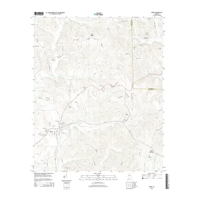
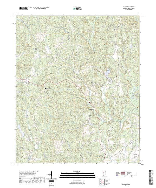
 1967 Bankston1968 Print · USGSFayette County's rural heartland during the late sixties is centered on the railroad community of Bankston. Genealogists can trace local roots through numerous landmarks like Philadelphia Cem, Piney Grove Ch, and Woods Cem.2 unique versions available
 - 1967 Map of Berry, 1968 Print
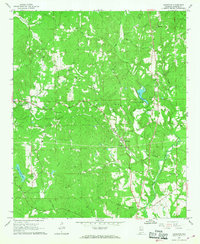
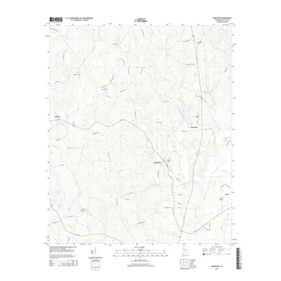
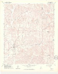 1967 Berry1968 Print · USGSBerry and the surrounding Fayette County countryside are captured here in the late sixties as the local economy balanced rail transport and industrial mining. Family historians can locate dozens of specific landmarks like Tabernacle Cem, Boley Springs Ch, and the extensive strip mines near Pea Ridge.4 unique versions available
 - 1984 Map of Jasper, 1985 Print
 1984 Jasper1985 Print · USGSIn the mid-1980s, the Walker County coalfields were a complex web of rail lines and river terminals. Researchers can trace the industrial heritage of the Mulberry Fork and locate local landmarks like the Carbon Hill National Fish Hatchery or Saragossa Ch.2 unique versions available
 - 2011 Map of Bankston, 2011 Print
 2011 Bankston2011 Print · USGSCovers Berry, including Bankston, Stough, and other nearby areas
 - 2011 Map of Berry, 2011 Print
 2011 Berry2011 Print · USGSCovers Berry, including Pendley, Alta, and other nearby areas
 - 2014 Map of Bankston, 2014 Print
 2014 Bankston2014 Print · USGSCovers Berry, including Bankston, Stough, and other nearby areas
 - 2014 Map of Berry, 2014 Print
 2014 Berry2014 Print · USGSCovers Berry, including Pendley, Alta, and other nearby areas
 - 2018 Map of Bankston, 2018 Print
 2018 Bankston2018 Print · USGSCovers Berry, including Bankston, Stough, and other nearby areas
 - 2018 Map of Berry, 2018 Print
 2018 Berry2018 Print · USGSCovers Berry, including Pendley, Alta, and other nearby areas
 - 2020 Map of Berry, 2020 Print
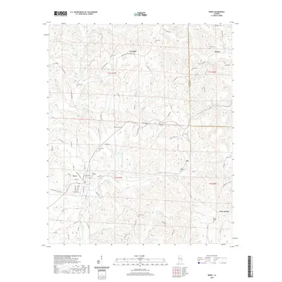 2020 Berry2020 Print · USGSCovers Berry, including Pendley, Alta, and other nearby areas
 - 2020 Map of Bankston, 2020 Print
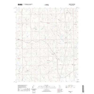 2020 Bankston2020 Print · USGSCovers Berry, including Bankston, Stough, and other nearby areas
 - 2024 Map of Berry, 2024 Print
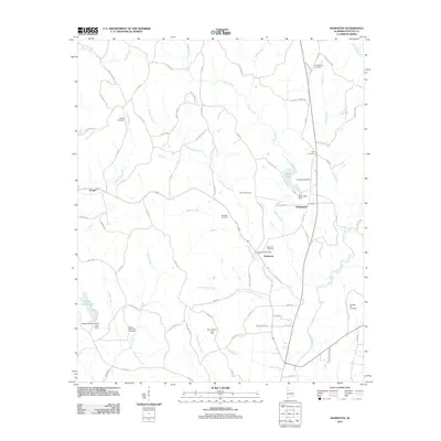
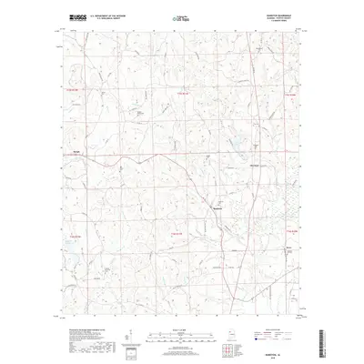
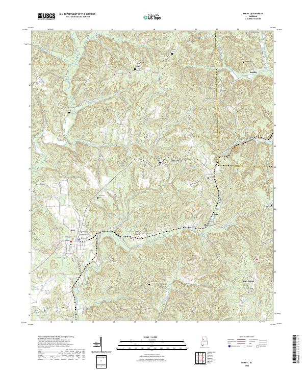 2024 Berry2024 Print · USGSFayette and Walker counties appear in recent detail, centered on the railroad town of Berry and its surrounding hill country. Genealogists can locate family burial sites at Berry City Cem, Salem Cem, and New Hope Cem while tracing the BNSF Railway line.
 - 2024 Map of Bankston, 2024 Print
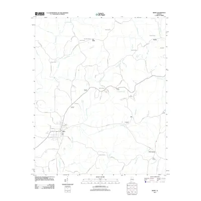
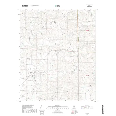
 2024 Bankston2024 Print · USGSFayette County communities like Bankston and Berry are detailed in this modern survey of central Alabama. Researchers can locate numerous family and church burial grounds, including Zion Methodist Church Cem and Philadelphia Cem, along the banks of the North River.
End of results
Showing maps 1-16 of 16
Top cities near Berry
- Tuscaloosa historical maps
- Fayette historical maps
- Winfield historical maps
- Carbon Hill historical maps
- Oakman historical maps
- Glen Allen historical maps
Frequently asked questions
- What are the different types of historical maps available for Berry?
- What is the oldest map of Berry?
- Where can I purchase historical maps of Berry for my home or office?
- Where can I download high-res historical maps of Berry?
- Are there historical topographic maps available for Berry?
- Is there historical aerial imagery available for Berry?
- Where are historical maps of Berry sourced from?