2000s (21st Century) Maps of Lauderdale County, Alabama
Explore 133 historic maps of Lauderdale County from the 2000s (21st Century). These maps offer a rare glimpse into what life looked like during the 2000s — showing old roads, neighborhoods, homes, and landmarks that have changed or disappeared over time.
Whether you're researching your family's past, planning a metal detecting trip, or studying how Lauderdale County's landscape evolved across the 2000s, these high-resolution maps are a powerful tool for exploring the history of this region.
- Focus on a specific era: All maps on this page are from the 2000s, giving you a focused view of this time period.
- See what’s changed: Compare century-old streets, trails, and buildings to today's modern landscape using overlays and satellite layers.
- Research with precision: Use these maps for genealogy, historical research, land use analysis, or educational projects.
- View, download, or print: Maps are fully viewable online in high resolution, and can be downloaded or printed for your own records.
Start exploring Lauderdale County's history through authentic maps from the 2000s. This is your window into the past.
Lauderdale County, AL maps
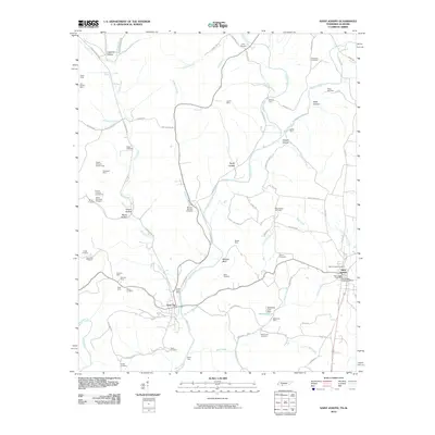
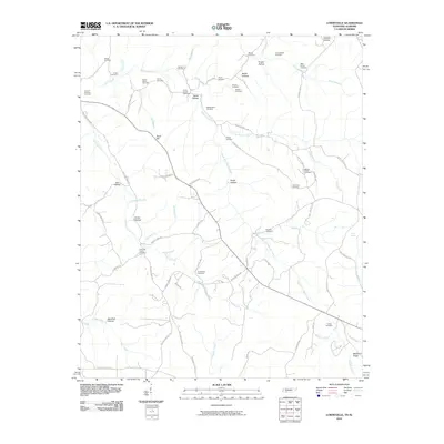
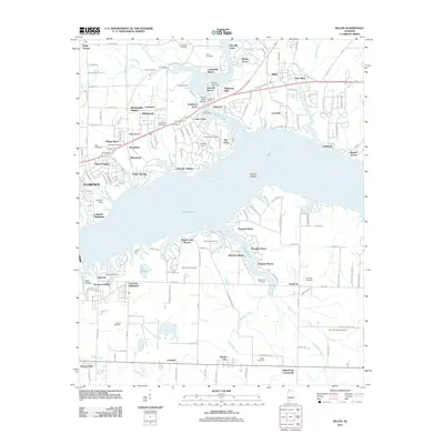
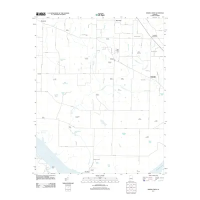
(133)- 2010 Map of Ransom Stand, 2010 Print
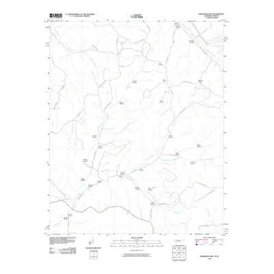 2010 Ransom Stand2010 Print · USGSCovers Lauderdale County, including Stout, Ransom Stand, and other nearby areas
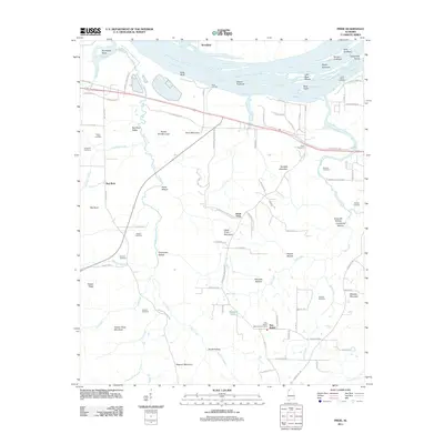
 - 2010 Map of Whitten, 2010 Print
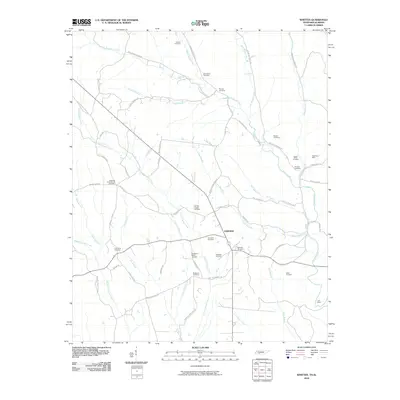 2010 Whitten2010 Print · USGSCovers Lauderdale County, including Fairview, Crossroads, and other nearby areas
 - 2010 Map of Union Hill, 2010 Print
 2010 Union Hill2010 Print · USGSCovers Lauderdale County, including Minor Hill, Lester, and other nearby areas
 - 2010 Map of Bonnertown, 2010 Print
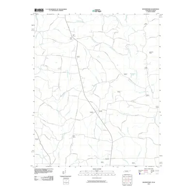 2010 Bonnertown2010 Print · USGSCovers Lauderdale County, including Bird Mill, Bonnertown, and other nearby areas
 - 2010 Map of Saint Joseph, 2010 Print
 2010 Saint Joseph2010 Print · USGSCovers Lauderdale County, including Wayland Springs, Chinubee, and other nearby areas
 - 2010 Map of Cypress Inn, 2010 Print
 2010 Cypress Inn2010 Print · USGSCovers Lauderdale County, including Cypress Inn, Holt, and other nearby areas
 - 2010 Map of Lexington, 2010 Print
 2010 Lexington2010 Print · USGSCovers Lauderdale County, including Lexington, Anderson, and other nearby areas
 - 2010 Map of Yellow Creek, 2010 Print
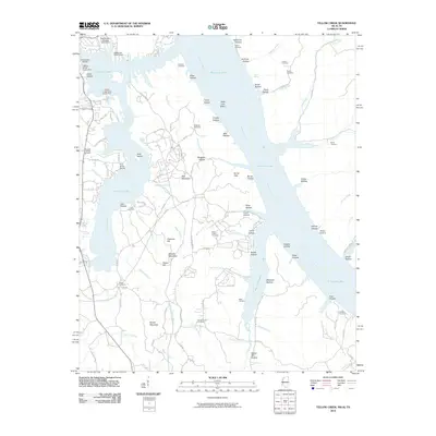 2010 Yellow Creek2010 Print · USGSCovers Lauderdale County, including Cooks Landing, High Point, and other nearby areas
 - 2010 Map of Lowryville, 2010 Print
 2010 Lowryville2010 Print · USGSCovers Lauderdale County, including Lowryville, Walnut Grove, and other nearby areas
 - 2010 Map of Loretto, 2010 Print
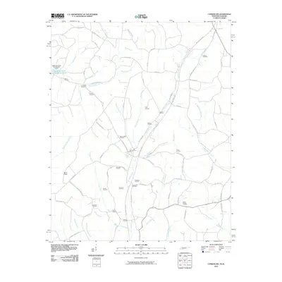
 2010 Loretto2010 Print · USGSCovers Lauderdale County, including Loretto, Brown Crossroads, and other nearby areas
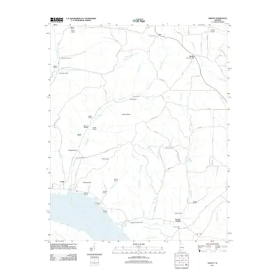
 - 2010 Map of Pickwick, 2010 Print
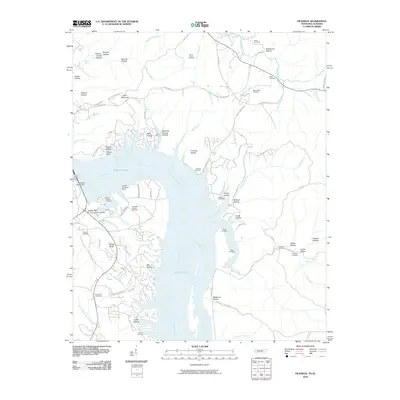 2010 Pickwick2010 Print · USGSCovers Lauderdale County, including Bruton Branch, Red Sulphur Springs, and other nearby areas
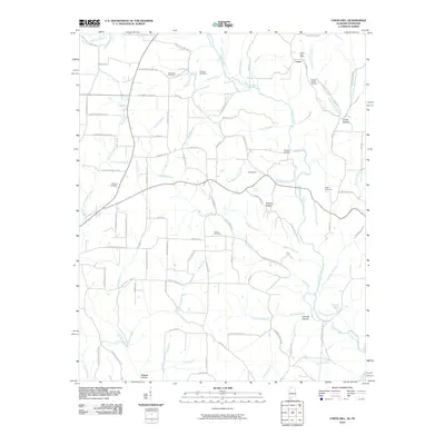
 - 2011 Map of Threet, 2011 Print
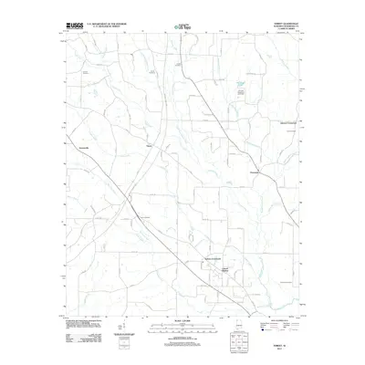 2011 Threet2011 Print · USGSCovers Lauderdale County, including Stewartville, Sullivan Crossroads, and other nearby areas
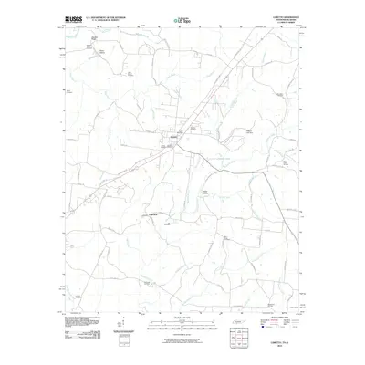
 - 2011 Map of Killen, 2011 Print
 2011 Killen2011 Print · USGSCovers Lauderdale County, including Florence, Muscle Shoals, and other nearby areas
 - 2011 Map of Center Hill, 2011 Print
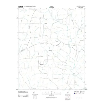
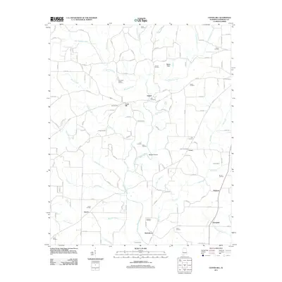 2011 Center Hill2011 Print · USGSCovers Lauderdale County, including Lexington, Comer, and other nearby areas
 - 2011 Map of Pride, 2011 Print
 2011 Pride2011 Print · USGSCovers Lauderdale County, including Tuscumbia, Hawk Pride, and other nearby areas
 - 2011 Map of Wright, 2011 Print
 2011 Wright2011 Print · USGSCovers Lauderdale County, including Gravelly Springs, Murphy Cross Roads, and other nearby areas
 - 2011 Map of Pruitton, 2011 Print
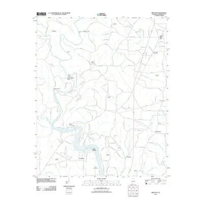 2011 Pruitton2011 Print · USGSCovers Lauderdale County, including Saint Florian, Holloway, and other nearby areas
 - 2011 Map of Cherokee, 2011 Print
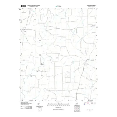
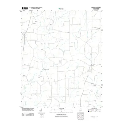
 2011 Cherokee2011 Print · USGSCovers Lauderdale County, including Cherokee, Lane Springs, and other nearby areas
 - 2011 Map of Rogersville, 2011 Print
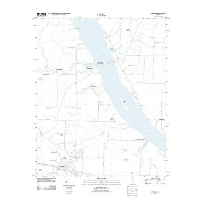
 2011 Rogersville2011 Print · USGSCovers Lauderdale County, including Rogersville, Freeman Acres, and other nearby areas
 - 2011 Map of Waterloo, 2011 Print
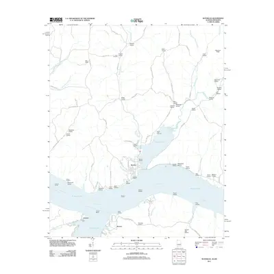 2011 Waterloo2011 Print · USGSCovers Lauderdale County, including Waterloo, Riverton, and other nearby areas
 - 2011 Map of Sinking Creek, 2011 Print
 2011 Sinking Creek2011 Print · USGSCovers Lauderdale County, including Woodland, Canaan, and other nearby areas
 - 2011 Map of Florence, 2011 Print
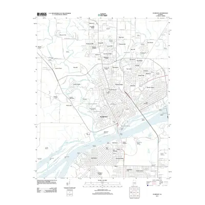 2011 Florence2011 Print · USGSCovers Lauderdale County, including Florence, Muscle Shoals, and other nearby areas
 - 2011 Map of Union Hill, 2011 Print
 2011 Union Hill2011 Print · USGSCovers Lauderdale County, including Minor Hill, Lester, and other nearby areas
 - 2011 Map of Lexington, 2011 Print
 2011 Lexington2011 Print · USGSCovers Lauderdale County, including Lexington, Anderson, and other nearby areas
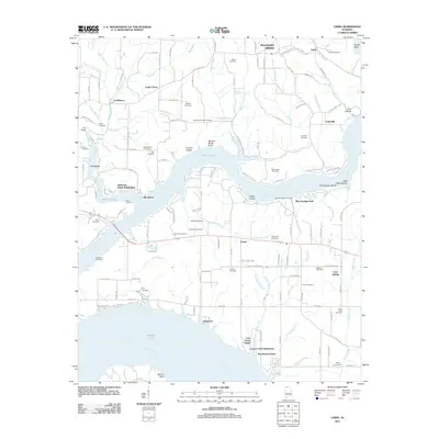
 - 2011 Map of Cairo, 2011 Print
 2011 Cairo2011 Print · USGSCovers Lauderdale County, including Rogersville, Coxey, and other nearby areas
Showing maps 1-25 of 133
Top cities of Lauderdale County
- Florence historical maps
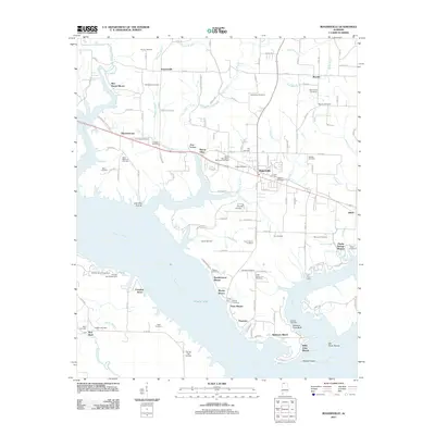
- Underwood-Petersville historical maps
- Rogersville historical maps
- Killen historical maps
- Lexington historical maps
- Saint Florian historical maps
See more
Frequently asked questions
- What are the different types of historical maps available for Lauderdale County?
- What is the oldest map of Lauderdale County?
- Where can I purchase historical maps of Lauderdale County for my home or office?
- Where can I download high-res historical maps of Lauderdale County?
- Are there historical topographic maps available for Lauderdale County?
- Is there historical aerial imagery available for Lauderdale County?
- Where are historical maps of Lauderdale County sourced from?