2020s Maps of Lauderdale County, Alabama
Explore 44 historic maps of Lauderdale County from the 2020s. These maps offer a rare glimpse into what life looked like during the 2020s — showing old roads, neighborhoods, homes, and landmarks that have changed or disappeared over time.
Whether you're researching your family's past, planning a metal detecting trip, or studying how Lauderdale County's landscape evolved across the 2020s, these high-resolution maps are a powerful tool for exploring the history of this region.
- Focus on a specific era: All maps on this page are from the 2020s, giving you a focused view of this time period.
- See what’s changed: Compare century-old streets, trails, and buildings to today's modern landscape using overlays and satellite layers.
- Research with precision: Use these maps for genealogy, historical research, land use analysis, or educational projects.
- View, download, or print: Maps are fully viewable online in high resolution, and can be downloaded or printed for your own records.
Start exploring Lauderdale County's history through authentic maps from the 2020s. This is your window into the past.
Lauderdale County, AL maps
(44)- 2020 Map of Waterloo, 2020 Print
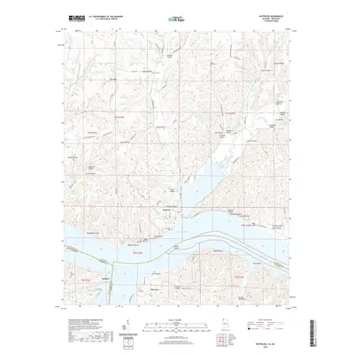 2020 Waterloo2020 Print · USGSThe Alabama and Mississippi borderlands meet along the Tennessee River in this modern survey of the Waterloo area. Local researchers can locate family landmarks such as Scott Cem, trace the terrain of Manbone Ridge, and explore the shoreline from Eastport to Riverton.
 - 2020 Map of Cairo, 2020 Print
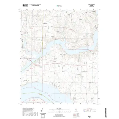 2020 Cairo2020 Print · USGSThe Tennessee River valley at the borders of Lauderdale and Limestone Counties is shown here in the contemporary era. Researchers can trace family history through dozens of rural burial sites like Bedingfield Cem and Sherbert Cem, or explore the shoreline near Rogersville.
 - 2020 Map of Union Hill, 2020 Print
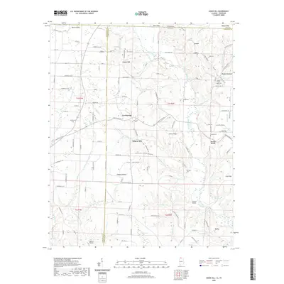 2020 Union Hill2020 Print · USGSThe Alabama-Tennessee borderlands come into focus in this modern survey of the hills near Lester and Union Hill. Genealogists and historians can trace numerous family-named landmarks and resting places, including McCuan Moss Cem, Bullington Cem, and the historic site of Ridgway Mill.
 - 2020 Map of Tuscumbia, 2020 Print
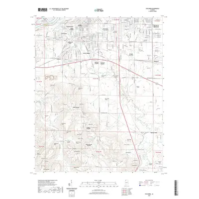 2020 Tuscumbia2020 Print · USGSMuscle Shoals and Tuscumbia appear in high detail during this period of modern growth and historic preservation. Local historians can trace the layouts of Village Number 1, the Colbert County Courthouse, and cemeteries like Old Mount Moriah Cem.
 - 2020 Map of Wheeler Dam, 2020 Print
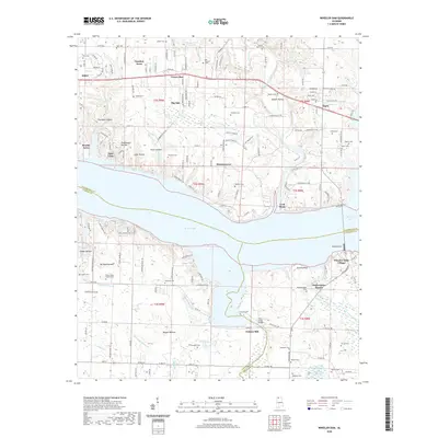 2020 Wheeler Dam2020 Print · USGSLauderdale and Colbert counties meet at the Tennessee River in this 2020 survey of the Wheeler Lake area. Local historians can trace family ties at Old Tanyard Cem and Hennigan Cem or explore the river infrastructure at Wheeler Dam and Lock Three.
 - 2020 Map of Rogersville, 2020 Print
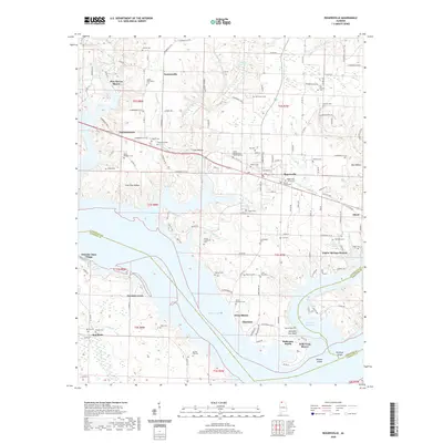 2020 Rogersville2020 Print · USGSThe Tennessee River valley north of the Wheeler Dam comes into sharp focus during this recent survey of Lauderdale County. Genealogists and local historians can trace family roots through numerous burial sites like Old Romine Cem and Rogersville Civilian Cem or locate vanished landmarks near Thorntontown and Wheeler Dam Village.
 - 2020 Map of Killen, 2020 Print
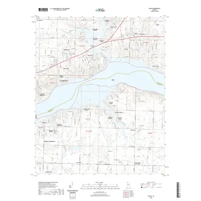 2020 Killen2020 Print · USGSThe Tennessee River corridor between Florence and Muscle Shoals is captured here in the modern era as a hub of residential and industrial life. Genealogists and historians can locate family landmarks like Kernachan Cem, the historic Old Brick Church, and the distinctive settlement of Nitrate City.
 - 2020 Map of Sinking Creek, 2020 Print
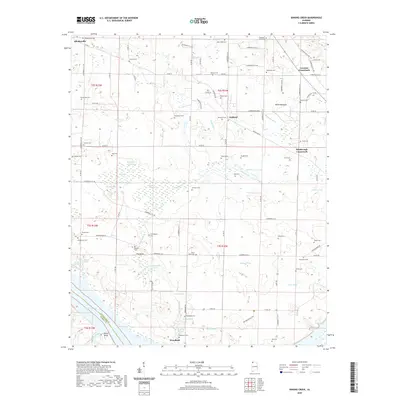 2020 Sinking Creek2020 Print · USGSLauderdale County's rural landscape is captured here in the modern era, showing a community defined by its quiet crossroads and numerous family cemeteries. Genealogists can trace local roots through sites like Sherrod Cem, Woodland Cem, and The Sinks, while exploring the karst topography near Pickwick Lake.
 - 2020 Map of Wright, 2020 Print
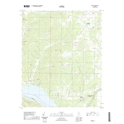 2020 Wright2020 Print · USGSLauderdale County's dissected uplands meet Pickwick Lake in this modern-era study of the Tennessee River valley. Genealogists and local historians can locate numerous family burial grounds, including Williams Chapel Cem, Sharp Cem, and Wylie Cem.
 - 2020 Map of Lexington, 2020 Print
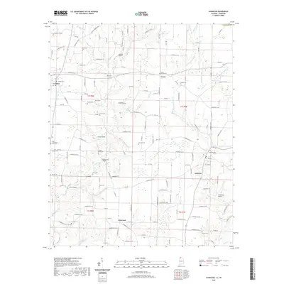 2020 Lexington2020 Print · USGSLauderdale County, Alabama, in the modern era shows a landscape where historic rural settlements still shape the map. Genealogists can trace local roots at Grassy Memorial Cem, Portertown Cem, and the Sledge Ford Bridge.
 - 2020 Map of Threet, 2020 Print
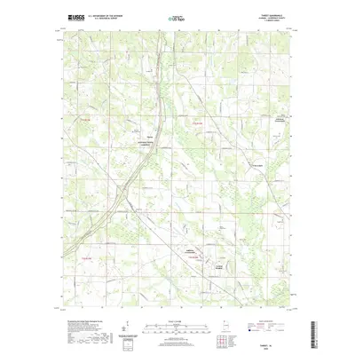 2020 Threet2020 Print · USGSLauderdale County's rural landscape is captured here in the contemporary era, centered on the historic corridor of the Natchez Trace Parkway. Local historians can trace family names at Wesley Chapel Cem and Littleton Cem or explore the settlements of Cloverdale and Central Heights.
 - 2020 Map of Cherokee, 2020 Print
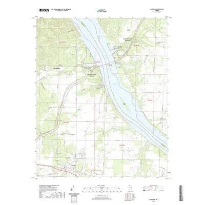 2020 Cherokee2020 Print · USGSCherokee and the Tennessee River valley appear in high detail during the early twenty-first century. Genealogists can locate family burial sites like Cherokee Cem and Thompson Cem while tracing the Natchez Trace Pkwy across Pickwick Lake.
 - 2020 Map of Pruitton, 2020 Print
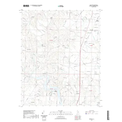 2020 Pruitton2020 Print · USGSLauderdale County's rural landscape is captured here in the contemporary era, showing the intersection of local history and modern hydrography. Genealogists can trace family names through numerous burial sites like Emmaline Stutts Cem and Tidwell Cem near Holloway.
 - 2020 Map of Pride, 2020 Print
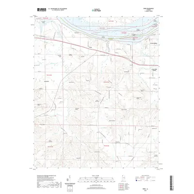 2020 Pride2020 Print · USGSColbert County's riverfront and ridge country are shown here as they appeared in 2020. Local researchers can trace family landmarks and cemeteries like Pride Cem and Basden Cem situated between Pickwick Lake and Hawk Pride Mtn.
 - 2020 Map of Blackburn, 2020 Print
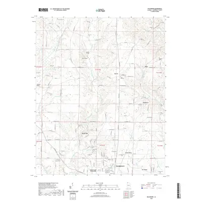 2020 Blackburn2020 Print · USGSLauderdale County's northern uplands near Florence are shown here at a time of modern growth alongside deep-rooted rural settlements. Genealogists and researchers can trace family lines through numerous landmarks like St. Florian, Zip City, and the St Michaels Cem.
 - 2020 Map of Yellow Creek, 2020 Print
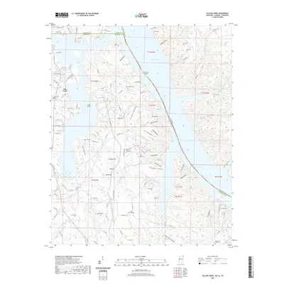 2020 Yellow Creek2020 Print · USGSTishomingo County, Mississippi, and its border neighbors appear here at the intersection of three states during the late 2010s. Genealogists can locate numerous burial sites and landmarks like Poplar Springs Baptist Church, Johnson Cem, and High Point.
 - 2021 Map of Center Hill, 2021 Print
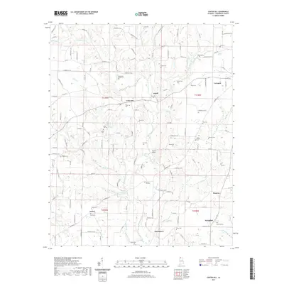 2021 Center Hill2021 Print · USGSLauderdale County's rural landscape is captured here in the early twenty-first century, centered on Lexington. Researchers can trace generations of local history through numerous sites like Richardson Chapel Cem, Antioch, and Needmore Spring.
 - 2021 Map of Florence, 2021 Print
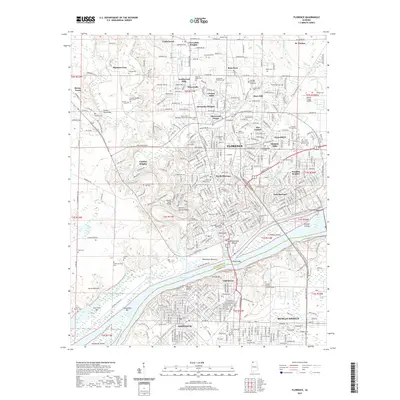 2021 Florence2021 Print · USGSThe Tennessee River riverfront at Florence and Sheffield appears in great detail in this contemporary survey. Researchers can locate unique historical sites like the Hickory Hill Plantation Slave Cem and the ancient Waumanona Mound.
 - 2022 Map of Loretto, 2022 Print
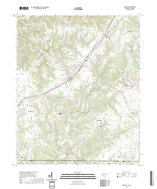 2022 Loretto2022 Print · USGSSouthern Lawrence County is captured here at the Tennessee-Alabama border, where the high ridges give way to the headwaters of Bluewater Cr. Family historians can trace local roots through numerous sites like Sacred Heart Cem, McDougal Cem, and the settlement at Rascal Town.
 - 2022 Map of Whitten, 2022 Print
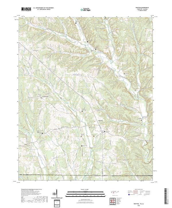 2022 Whitten2022 Print · USGSThe Tennessee-Alabama borderlands come into focus in the early 2020s, showing a landscape defined by high ridges and deep creek bottoms. Genealogists can locate numerous burial sites like Whittens Cross Roads Cem and Railroad Cem near Crossroads.
 - 2022 Map of Bonnertown, 2022 Print
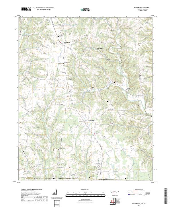 2022 Bonnertown2022 Print · USGSSoutheastern Lawrence County comes into focus in this contemporary survey of the Tennessee-Alabama state line. Genealogists can locate numerous family burial grounds, including Union Hill Cem, Saint Truitt Cem, and the Bonnertown Cem.
 - 2022 Map of Ransom Stand, 2022 Print
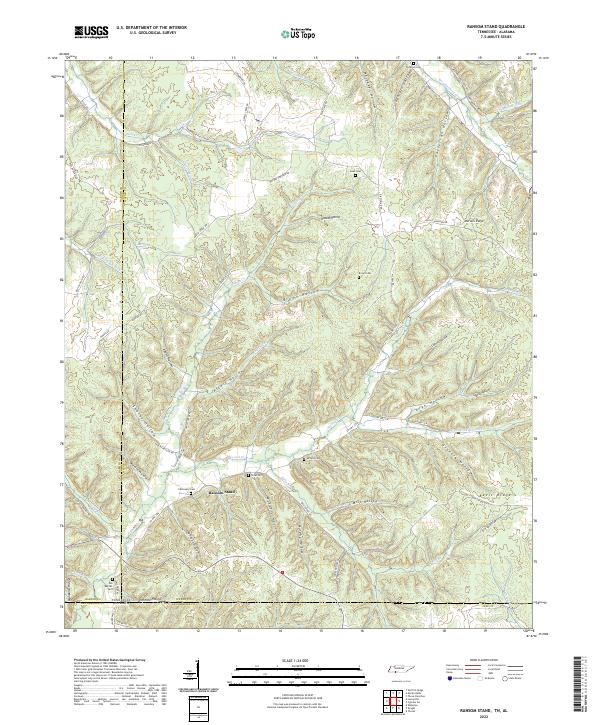 2022 Ransom Stand2022 Print · USGSThe Tennessee and Alabama borderlands are shown here in recent detail, where the settlement of Ransom Stand sits among high ridges. Local historians can trace family burial sites like Stribling Cem and Brown Cem tucked away in drainage hollows like Mill Hollow.
 - 2022 Map of Cypress Inn, 2022 Print
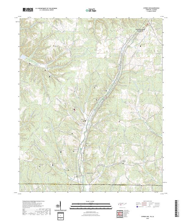 2022 Cypress Inn2022 Print · USGSCypress Inn sits at the Tennessee-Alabama border during the early 2020s, anchoring a landscape of deep-rooted family history. Genealogists can trace lineage across dozens of rural burial sites like Old Chestnut Grove Cem, McAllister Cem, and Susan Moore Cem.
 - 2022 Map of Saint Joseph, 2022 Print
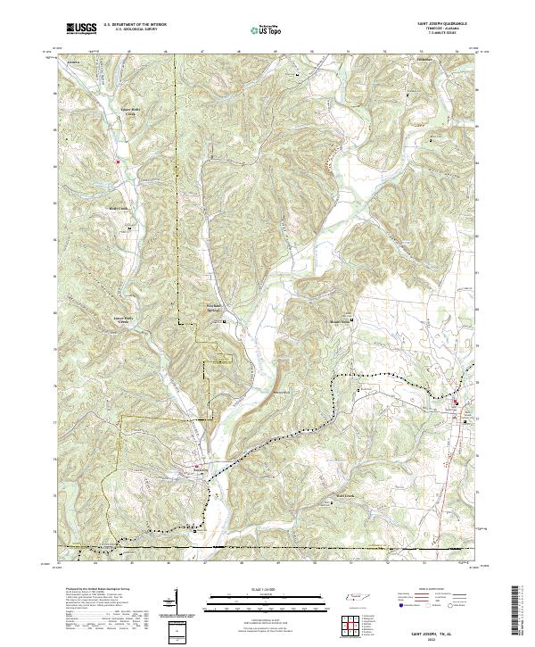 2022 Saint Joseph2022 Print · USGSThe Tennessee and Alabama state line meets in this 2022 survey of the Shoal Creek valley as it appeared in the early twenty-first century. Researchers can trace family history through numerous rural burial sites like Shiloh Cem and the landmarks of Iron City and Wayland Springs.
 - 2022 Map of Pickwick, 2022 Print
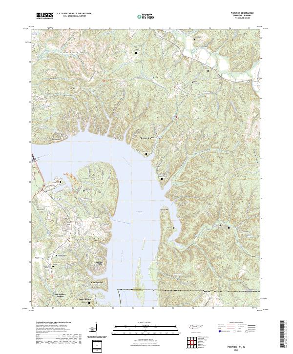 2022 Pickwick2022 Print · USGSThe Tennessee-Alabama state line and the waters of Pickwick Lake define this area as it appeared in the early 2020s. Genealogists and local historians can locate several family cemeteries, including Old White Sulphur Cem and Thomas Cem, alongside the community at Red Sulphur Springs.
Showing maps 1-25 of 44
Top cities of Lauderdale County
- Florence historical maps
- Underwood-Petersville historical maps
- Rogersville historical maps
- Killen historical maps
- Lexington historical maps
- Saint Florian historical maps
See more
Frequently asked questions
- What are the different types of historical maps available for Lauderdale County?
- What is the oldest map of Lauderdale County?
- Where can I purchase historical maps of Lauderdale County for my home or office?
- Where can I download high-res historical maps of Lauderdale County?
- Are there historical topographic maps available for Lauderdale County?
- Is there historical aerial imagery available for Lauderdale County?
- Where are historical maps of Lauderdale County sourced from?