2020s Maps of Lawrence County, Alabama
Explore 46 historic maps of Lawrence County from the 2020s. These maps offer a rare glimpse into what life looked like during the 2020s — showing old roads, neighborhoods, homes, and landmarks that have changed or disappeared over time.
Whether you're researching your family's past, planning a metal detecting trip, or studying how Lawrence County's landscape evolved across the 2020s, these high-resolution maps are a powerful tool for exploring the history of this region.
- Focus on a specific era: All maps on this page are from the 2020s, giving you a focused view of this time period.
- See what’s changed: Compare century-old streets, trails, and buildings to today's modern landscape using overlays and satellite layers.
- Research with precision: Use these maps for genealogy, historical research, land use analysis, or educational projects.
- View, download, or print: Maps are fully viewable online in high resolution, and can be downloaded or printed for your own records.
Start exploring Lawrence County's history through authentic maps from the 2020s. This is your window into the past.
Lawrence County, AL maps
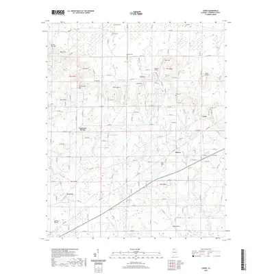
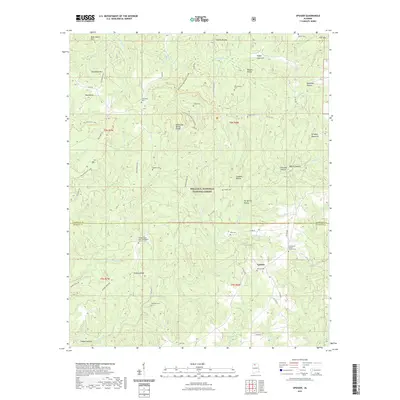
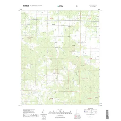
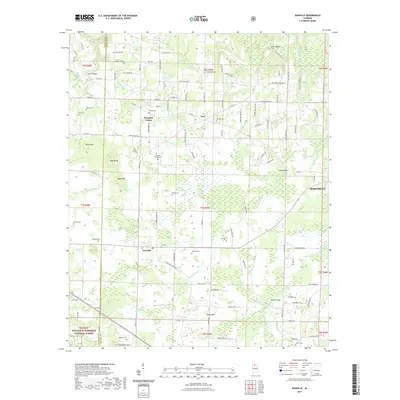
(46)- 2020 Map of Cairo, 2020 Print
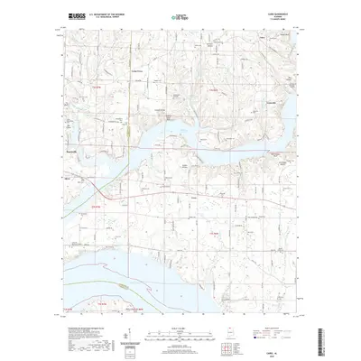 2020 Cairo2020 Print · USGSCovers Lawrence County, including Rogersville, Coxey, and other nearby areas
 - 2020 Map of Old Bethel, 2020 Print
 2020 Old Bethel2020 Print · USGSCovers Lawrence County, including La Grange, Bethsaida, and other nearby areas
 - 2020 Map of Hatton, 2020 Print
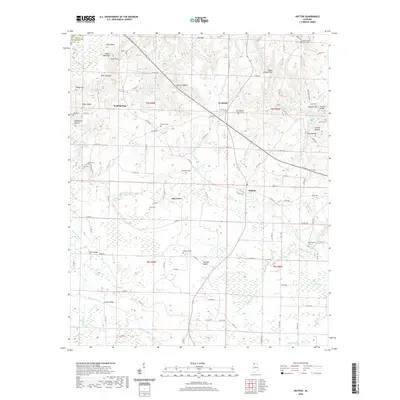 2020 Hatton2020 Print · USGSCovers Lawrence County, including Hatton, Oak Grove, and other nearby areas
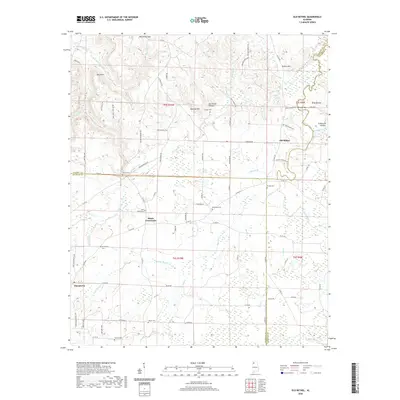
 - 2020 Map of Masterson Mill, 2020 Print
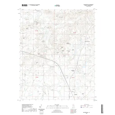 2020 Masterson Mill2020 Print · USGSCovers Lawrence County, including Moulton, Masterson Mill, and other nearby areas
 - 2020 Map of Town Creek, 2020 Print
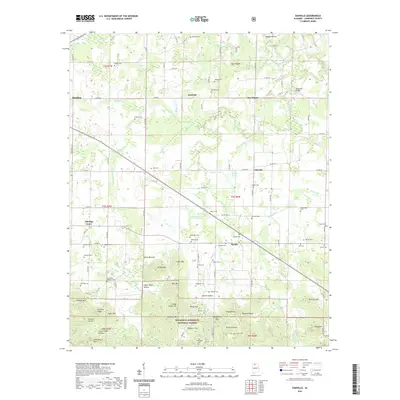
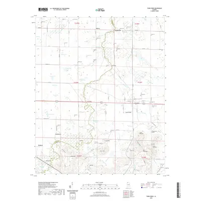 2020 Town Creek2020 Print · USGSCovers Lawrence County, including Town Creek, Edmond, and other nearby areas
 - 2020 Map of Courtland, 2020 Print
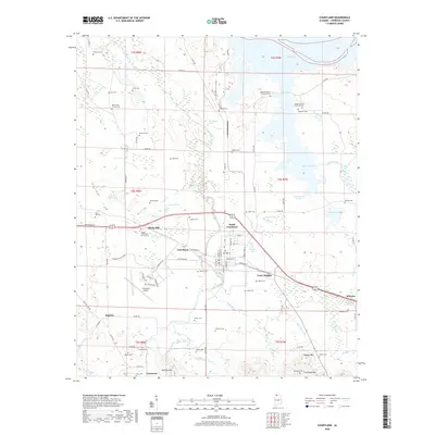 2020 Courtland2020 Print · USGSCovers Lawrence County, including Courtland, North Courtland, and other nearby areas
 - 2020 Map of Jones Crossroads, 2020 Print
 2020 Jones Crossroads2020 Print · USGSCovers Lawrence County, including Decatur, Athens, and other nearby areas
 - 2020 Map of Trinity, 2020 Print
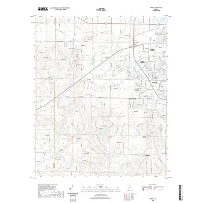 2020 Trinity2020 Print · USGSCovers Lawrence County, including Decatur, Trinity, and other nearby areas
 - 2020 Map of Wheeler Dam, 2020 Print
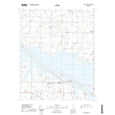
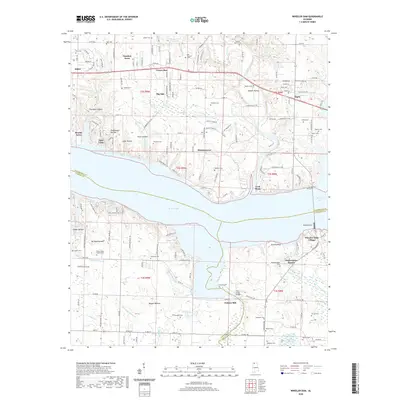 2020 Wheeler Dam2020 Print · USGSCovers Lawrence County, including Killen, Aqua Vista, and other nearby areas
 - 2020 Map of Rogersville, 2020 Print
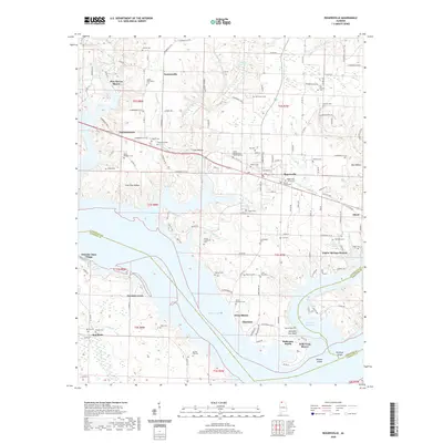 2020 Rogersville2020 Print · USGSCovers Lawrence County, including Rogersville, Freeman Acres, and other nearby areas
 - 2020 Map of Hillsboro, 2020 Print
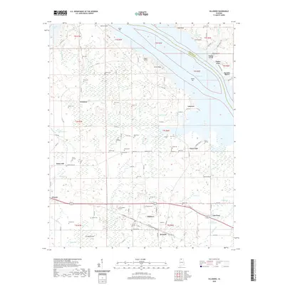 2020 Hillsboro2020 Print · USGSCovers Lawrence County, including Hillsboro, Brides Hill, and other nearby areas
 - 2020 Map of Caddo, 2020 Print
 2020 Caddo2020 Print · USGSCovers Lawrence County, including Caddo, Chalybeate Springs, and other nearby areas
 - 2021 Map of Upshaw, 2021 Print
 2021 Upshaw2021 Print · USGSCovers Lawrence County, including Upshaw, Winston County, and other nearby areas
 - 2021 Map of Kinlock Spring, 2021 Print
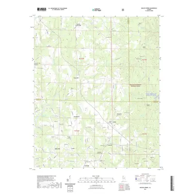 2021 Kinlock Spring2021 Print · USGSCovers Lawrence County, including Haleyville, Forkville, and other nearby areas
 - 2021 Map of Landersville, 2021 Print
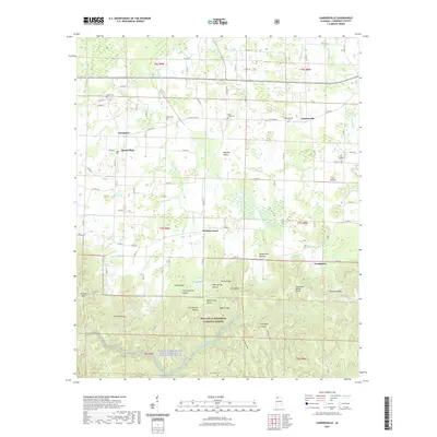 2021 Landersville2021 Print · USGSCovers Lawrence County, including Hickory Grove, Needmore, and other nearby areas
 - 2021 Map of Grayson, 2021 Print
 2021 Grayson2021 Print · USGSCovers Lawrence County, including Ellaville, Hepsidam, and other nearby areas
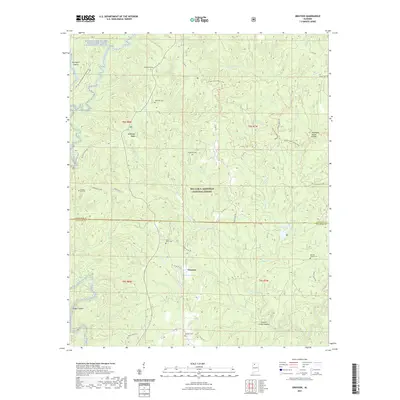
 - 2021 Map of Newburg, 2021 Print
 2021 Newburg2021 Print · USGSCovers Lawrence County, including Newburg, Oak Grove, and other nearby areas
 - 2021 Map of Bee Branch, 2021 Print
 2021 Bee Branch2021 Print · USGSCovers Lawrence County, including Rabbittown, Winston County, and other nearby areas
 - 2021 Map of Oakville, 2021 Print
 2021 Oakville2021 Print · USGSCovers Lawrence County, including Moulton, Aldridge Grove, and other nearby areas
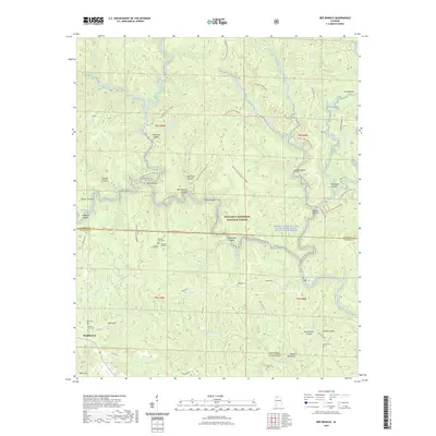
 - 2021 Map of Massey, 2021 Print
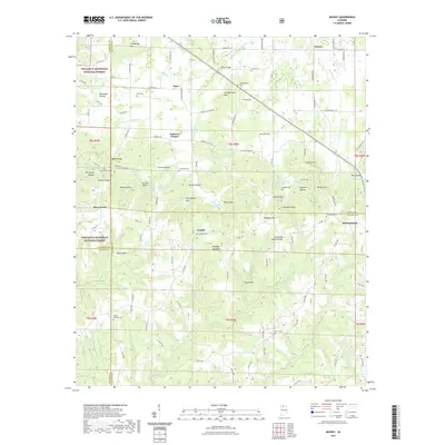 2021 Massey2021 Print · USGSCovers Lawrence County, including Piney Grove, Clifty, and other nearby areas
 - 2021 Map of Danville, 2021 Print
 2021 Danville2021 Print · USGSCovers Lawrence County, including Hartselle, Pumpkin Center, and other nearby areas
 - 2021 Map of Moulton, 2021 Print
 2021 Moulton2021 Print · USGSCovers Lawrence County, including Moulton, Pinhook, and other nearby areas
 - 2024 Map of Caddo, 2024 Print
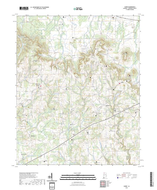 2024 Caddo2024 Print · USGSLawrence County, Alabama, is documented here in the early twenty-first century, showcasing a rural landscape defined by community crossroads and family burial grounds. Genealogists can trace local heritage through sites like Chalybeate Springs, Harmony, and Old Morris Chapel Cem.
 - 2024 Map of Moulton, 2024 Print
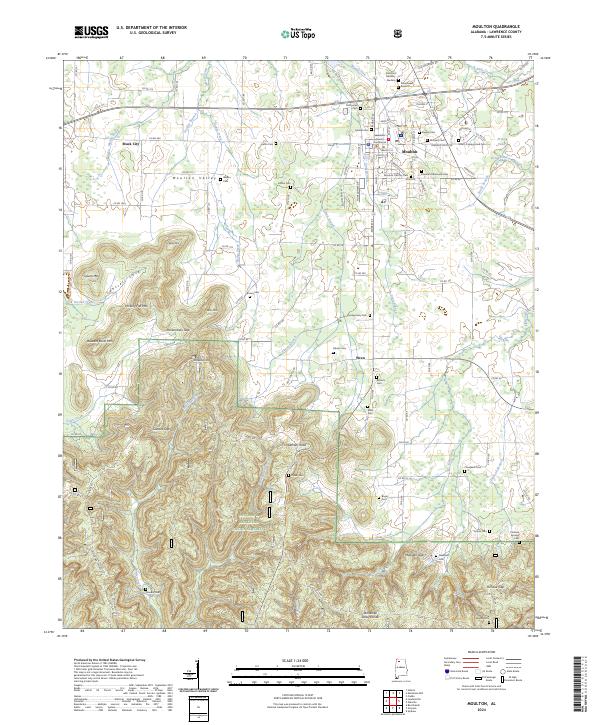 2024 Moulton2024 Print · USGSMoulton and the surrounding Lawrence County uplands are captured here as the Tennessee Valley transitions into the deep forests of the Bankhead. Researchers can trace family history through sites like the Moulton Old City Cem, Freeman Tabernacle Cem, and the historic Lawrence County Courthouse.
 - 2024 Map of Upshaw, 2024 Print
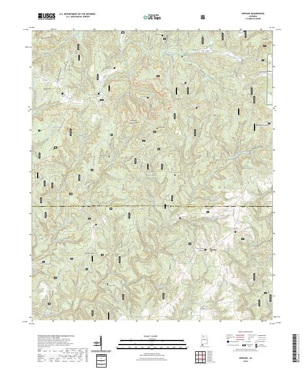 2024 Upshaw2024 Print · USGSThe North Alabama highlands near the Lawrence and Winston county line are shown here as they appeared in 2024. Researchers can trace family history through local landmarks like Corinth Cem Number 2, the settlement of Upshaw, and the ridges of Dillashaw Mountain.
Showing maps 1-25 of 46
Top cities of Lawrence County
- Moulton historical maps
- Town Creek historical maps
- Courtland historical maps
- North Courtland historical maps
- Hillsboro historical maps
- Hatton historical maps
Frequently asked questions
- What are the different types of historical maps available for Lawrence County?
- What is the oldest map of Lawrence County?
- Where can I purchase historical maps of Lawrence County for my home or office?
- Where can I download high-res historical maps of Lawrence County?
- Are there historical topographic maps available for Lawrence County?
- Is there historical aerial imagery available for Lawrence County?
- Where are historical maps of Lawrence County sourced from?