2010s Maps of Lawrence County, Alabama
Explore 66 historic maps of Lawrence County from the 2010s. These maps offer a rare glimpse into what life looked like during the 2010s — showing old roads, neighborhoods, homes, and landmarks that have changed or disappeared over time.
Whether you're researching your family's past, planning a metal detecting trip, or studying how Lawrence County's landscape evolved across the 2010s, these high-resolution maps are a powerful tool for exploring the history of this region.
- Focus on a specific era: All maps on this page are from the 2010s, giving you a focused view of this time period.
- See what’s changed: Compare century-old streets, trails, and buildings to today's modern landscape using overlays and satellite layers.
- Research with precision: Use these maps for genealogy, historical research, land use analysis, or educational projects.
- View, download, or print: Maps are fully viewable online in high resolution, and can be downloaded or printed for your own records.
Start exploring Lawrence County's history through authentic maps from the 2010s. This is your window into the past.
Lawrence County, AL maps
(66)- 2011 Map of Hillsboro, 2011 Print
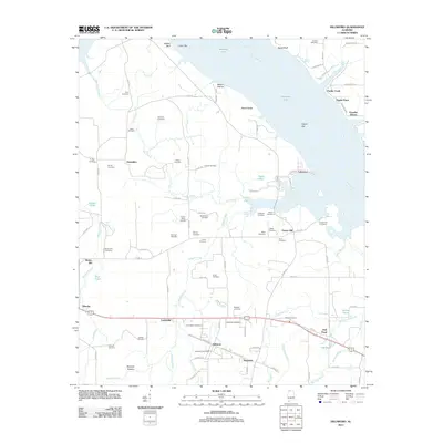 2011 Hillsboro2011 Print · USGSHillsboro and the southern banks of the Tennessee River are shown here in the early twenty-first century. Researchers can trace dozens of family-named burial grounds like Shackelford Cemetery and Newman Cemetery or locate the community at Jerusalem.
 - 2011 Map of Courtland, 2011 Print
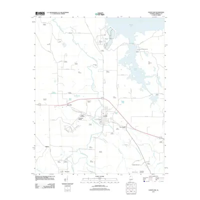 2011 Courtland2011 Print · USGSLawrence County, Alabama, is shown here in the early twenty-first century, centered on the historic town of Courtland near the banks of Wheeler Lake. Genealogists and historians can trace dozens of family-named landmarks, from Sherrod Quarters and Egypt Ford to the Andrew Garth Memorial Cemetery.
 - 2011 Map of Trinity, 2011 Print
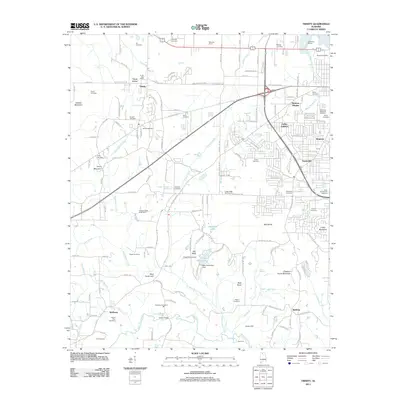 2011 Trinity2011 Print · USGSMorgan County is seen here at a point of modernization and suburban growth during the early 2010s. Local researchers can trace historical family locations and rural landmarks like Cow Ford, Mount Zion Cemetery, and the Trinity Post Office.
 - 2011 Map of Rogersville, 2011 Print
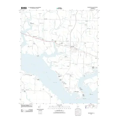 2011 Rogersville2011 Print · USGSThe Tennessee River and Wheeler Lake define this Lauderdale County landscape during the early twenty-first century. Genealogists and local historians can trace dozens of family burial sites like Old Romine Cemetery and landmarks such as Lambs Ferry and Saltpeter Cave Bluff.
 - 2011 Map of Town Creek, 2011 Print
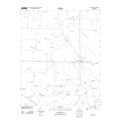 2011 Town Creek2011 Print · USGSTown Creek and its surrounding hamlets are captured here during a period of modern stability in Lawrence County. Researchers can trace ancestral lands through dozens of family burial grounds like Brickhouse and Dillahunty, or locate former community hubs at Winston Quarters and Midway.
 - 2011 Map of Danville, 2011 Print
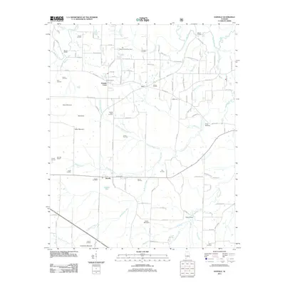 2011 Danville2011 Print · USGSMorgan County is shown here in the early twenty-first century as a landscape of small crossroads communities and family legacies. Researchers can trace ancestral locations through the many burial grounds like O'Neal Cemetery or find rural landmarks such as Blowing Spring and the Alabama Sheriffs Boys Ranch.
 - 2011 Map of Bee Branch, 2011 Print
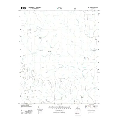 2011 Bee Branch2011 Print · USGSRabbittown and the surrounding national forest wilderness are shown in great detail in the early 2010s. Genealogists can trace family connections at Johnson Cemeteries or Wolfpen Cemetery, while hikers can locate Needles Eye and Big Tree Canyon.
 - 2011 Map of Masterson Mill, 2011 Print
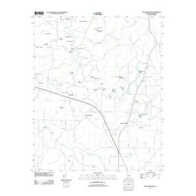 2011 Masterson Mill2011 Print · USGSLawrence County at the start of the 2010s reveals a rural landscape defined by family settlements and historic crossings. Researchers can locate several burial grounds including Thompson Cemetery or trace the routes through Letson Settlement and Mountain Home.
 - 2011 Map of Oakville, 2011 Print
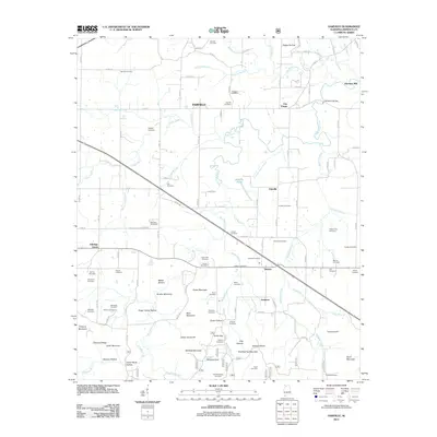 2011 Oakville2011 Print · USGSCovers Lawrence County, including Moulton, Aldridge Grove, and other nearby areas
 - 2011 Map of Landersville, 2011 Print
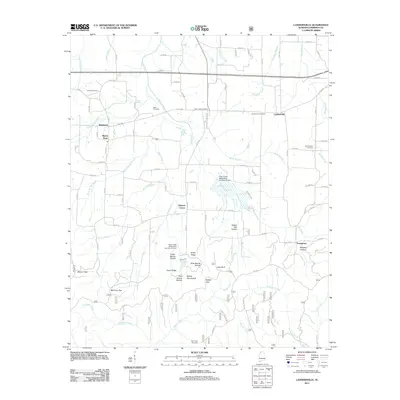 2011 Landersville2011 Print · USGSLawrence County settlements and family burial grounds are well-documented in this early twenty-first-century survey. Genealogists can locate rural landmarks like Old Prospect Cemetery, Needmore, and the terrain around Goat Bluff.
 - 2011 Map of Old Bethel, 2011 Print
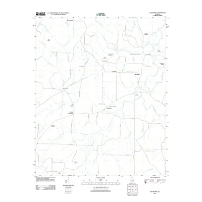 2011 Old Bethel2011 Print · USGSNear the Alabama-Mississippi border in the early twenty-first century, this Colbert County map reveals a landscape of family-run farms and rural crossroads. Researchers can trace the heritage of local families through Gargis Cemetery, Saints Crossroads, and Old Bethel.
 - 2011 Map of Cairo, 2011 Print
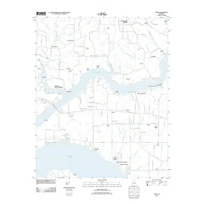 2011 Cairo2011 Print · USGSThe northern reaches of Wheeler Lake and the Elk River come into focus in this recent survey. Local historians can trace dozens of family cemeteries like Sandlin Cemetery and Ripley Cemetery alongside settlements at Lentzville and Coxey.
 - 2011 Map of Newburg, 2011 Print
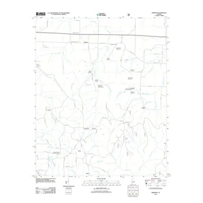 2011 Newburg2011 Print · USGSFranklin County in the early twenty-first century remains a rural landscape of high ridges and winding creek branches. Genealogists can trace family names through numerous burial sites like Macedonia Cemetery, Templeton Cemetery, and Gray Rock Cemetery.
 - 2011 Map of Massey, 2011 Print
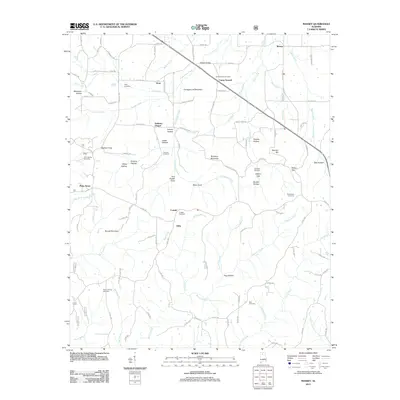 2011 Massey2011 Print · USGSNorth Alabama's rural uplands are mapped here in the early twenty-first century, showcasing a landscape of small communities and family landmarks. Researchers can trace local lineages through Cave Spring Cemetery, Andrews Chapel, and several coves like Tom Powell Cove.
 - 2011 Map of Jones Crossroads, 2011 Print
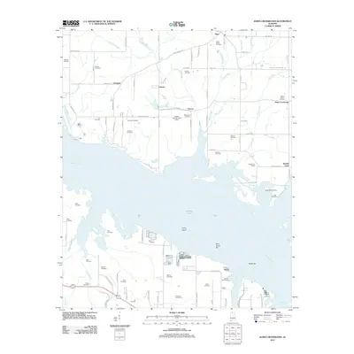 2011 Jones Crossroads2011 Print · USGSIn the Tennessee Valley during the early twenty-first century, this map captures the intersection of industrial river transport and rural heritage. You can trace family landholdings and community sites like Jones Crossroads alongside a dense network of family cemeteries such as Nebo Church Cemetery and Mason Cemetery.
 - 2011 Map of Grayson, 2011 Print
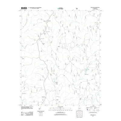 2011 Grayson2011 Print · USGSThe timber and creek lands of Winston County are captured here in the early twenty-first century. Researchers can locate family landmarks like Bunyan Hill Cemetery and Shiloh Cemetery or trace the remote settlement at Hepsidam.
 - 2011 Map of Caddo, 2011 Print
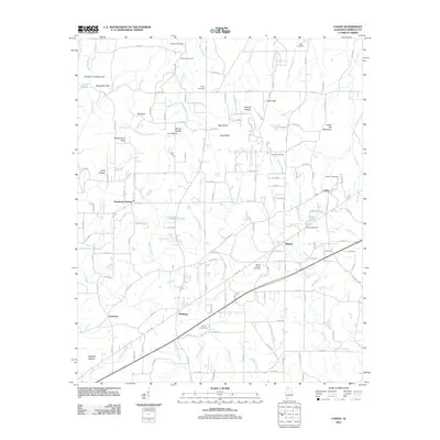 2011 Caddo2011 Print · USGSLawrence County in the early twenty-first century reveals a landscape of enduring rural communities and family-named landmarks. Genealogists and historians can trace local lineages through Morris Chapel Cemetery, the site of Chalybeate Springs, and settlements like Pittsburg.
 - 2011 Map of Moulton, 2011 Print
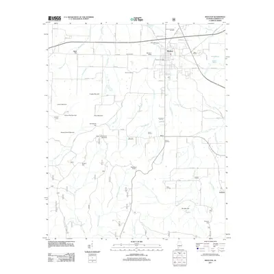 2011 Moulton2011 Print · USGSLawrence County at the start of the 2010s reveals a blend of established valley towns and high-relief mountain gaps. Genealogists can trace family names across numerous sites like Almon Cemetery, Gibson Cemetery, and the settlement at Muck City.
 - 2011 Map of Upshaw, 2011 Print
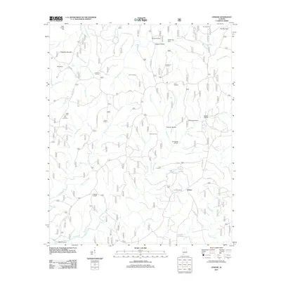 2011 Upshaw2011 Print · USGSUpshaw and the surrounding Winston County highlands are captured here in the early twenty-first century. Genealogists and local historians can locate several rural burial grounds, including Corinth Cemetery, Simms Cemetery, and Hughes Cemetery.
 - 2011 Map of Kinlock Spring, 2011 Print
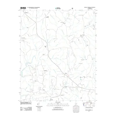 2011 Kinlock Spring2011 Print · USGSWinston County, Alabama, is shown here in the early twenty-first century as a land of crossroads communities and creek-fed valleys. Genealogists and local historians can trace family roots at Posey Mill, Winston Memorial Cemetery, and Poplar Spring Cemetery.
 - 2011 Map of Hatton, 2011 Print
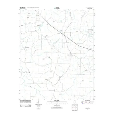 2011 Hatton2011 Print · USGSThe Hatton area of Lawrence County remained a quiet agricultural landscape in the early twenty-first century. Genealogists can trace family lines across dozens of sites including Roden Cemetery, the Concord Post Office, and Beavers Cross.
 - 2012 Map of Wheeler Dam, 2012 Print
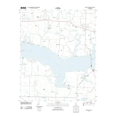 2012 Wheeler Dam2012 Print · USGSThe Tennessee River and the massive Wheeler Dam infrastructure dominate this Alabama landscape as it appeared in recent years. Genealogists and local historians can trace family locations through numerous sites like Old Tanyard Cemetery, Fosters Mill, and Houstontown.
 - 2014 Map of Upshaw, 2014 Print
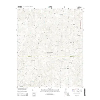 2014 Upshaw2014 Print · USGSThe Lawrence and Winston county border comes alive in this 2014 survey of the southern Bankhead National Forest. Genealogists and historians can locate numerous rural burial grounds like Asherbraner Cem and Corinth Cem near the small community of Upshaw.
 - 2014 Map of Jones Crossroads, 2014 Print
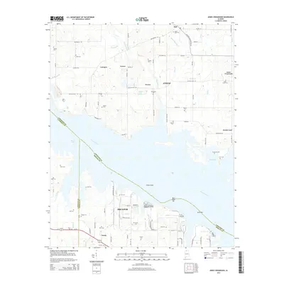 2014 Jones Crossroads2014 Print · USGSThe Tennessee River divides northern Decatur from the crossroads of Limestone County during the early twenty-first century. Genealogists and local historians can trace family cemeteries like Bridgeforth Cem and Wallace Cem or locate the site of Jones Crossroads.
 - 2014 Map of Masterson Mill, 2014 Print
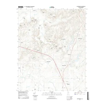 2014 Masterson Mill2014 Print · USGSThe rural stretches of Lawrence County come into focus in the 2010s, showing a landscape of upland ridges and creek bottoms. Genealogists can locate family landmarks like Letson Settlement, Masterson Mill, and the Dossey Cem.
Showing maps 1-25 of 66
Top cities of Lawrence County
- Moulton historical maps
- Town Creek historical maps
- Courtland historical maps
- North Courtland historical maps
- Hillsboro historical maps
- Hatton historical maps
Frequently asked questions
- What are the different types of historical maps available for Lawrence County?
- What is the oldest map of Lawrence County?
- Where can I purchase historical maps of Lawrence County for my home or office?
- Where can I download high-res historical maps of Lawrence County?
- Are there historical topographic maps available for Lawrence County?
- Is there historical aerial imagery available for Lawrence County?
- Where are historical maps of Lawrence County sourced from?