2000s (21st Century) Maps of Lawrence County, Alabama
Explore 122 historic maps of Lawrence County from the 2000s (21st Century). These maps offer a rare glimpse into what life looked like during the 2000s — showing old roads, neighborhoods, homes, and landmarks that have changed or disappeared over time.
Whether you're researching your family's past, planning a metal detecting trip, or studying how Lawrence County's landscape evolved across the 2000s, these high-resolution maps are a powerful tool for exploring the history of this region.
- Focus on a specific era: All maps on this page are from the 2000s, giving you a focused view of this time period.
- See what’s changed: Compare century-old streets, trails, and buildings to today's modern landscape using overlays and satellite layers.
- Research with precision: Use these maps for genealogy, historical research, land use analysis, or educational projects.
- View, download, or print: Maps are fully viewable online in high resolution, and can be downloaded or printed for your own records.
Start exploring Lawrence County's history through authentic maps from the 2000s. This is your window into the past.
Lawrence County, AL maps
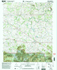
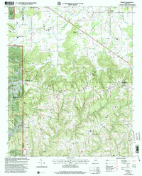
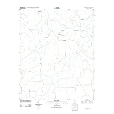
(122)- 2000 Map of Landersville, 2003 Print
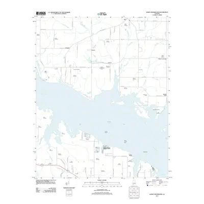
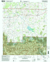 2000 Landersville2003 Print · USGSLawrence County at the turn of the century shows the fertile Moulton Valley meeting the protected Sipsey Wilderness. Researchers can trace local lineage at Old Town Creek Ch or locate family sites near Needmore and Youngtown.
 - 2000 Map of Grayson, 2003 Print
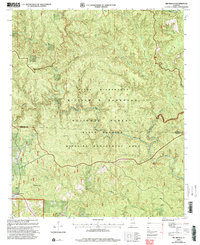
 2000 Grayson2003 Print · USGSThe northern Alabama wilderness at the start of the 21st century remains defined by vast forest management and small, secluded settlements. Genealogists and researchers can trace local family heritage at Bunyan Hill Cem, Shilo Cem, and the quiet Church of the Forest.
 - 2000 Map of Danville, 2003 Print
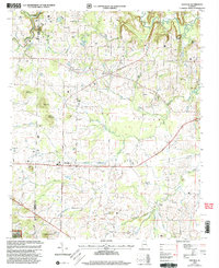 2000 Danville2003 Print · USGSMorgan County's rural character and transition to the Bankhead National Forest are captured here just after the millennium. Researchers can locate family roots at Stovall Cemetery and Puckett Cemetery or trace the early paths of Danville and Pumpkin Center.
 - 2000 Map of Upshaw, 2003 Print
 2000 Upshaw2003 Print · USGSNorthwestern Alabama's forest lands and the Tennessee Valley Divide are shown here at the turn of the century. Researchers can trace rural lineages at Friendship Cem or Hickory Grove Cem and explore the trails near the Owl Creek Horse Camp.
 - 2000 Map of Oakville, 2003 Print
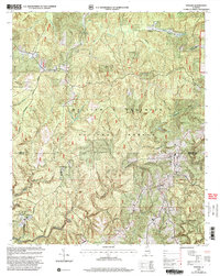
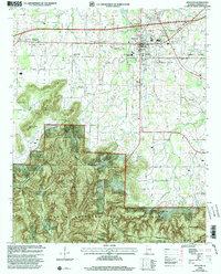
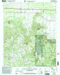
 2000 Oakville2003 Print · USGSLawrence County at the turn of the millennium reveals a landscape of deep-rooted rural communities and forest borders. Genealogists can trace family names through dozens of landmarks like Moody Cem and Gillespie School or explore sites like the Indian Mound.
 - 2000 Map of Kinlock Spring, 2003 Print
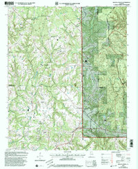 2000 Kinlock Spring2003 Print · USGSThe Tennessee Valley Divide defines the terrain of Winston and Lawrence counties in the late twentieth century, where forest management and rural life intersect. Genealogists can locate several family burial grounds and community landmarks like Posey Mill Cem, New Bethlehem Ch, and Carroll Crossroads.
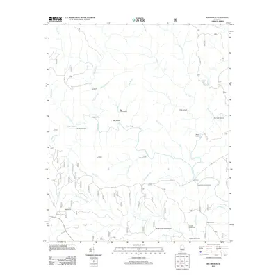
 - 2000 Map of Bee Branch, 2003 Print
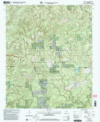
 2000 Bee Branch2003 Print · USGSThe Bankhead National Forest is documented here at the turn of the millennium, showing a preserved landscape along the Lawrence and Winston line. Researchers can locate remote family landmarks like Wolfpen Cem and Rabbitown among the drainages of the Sipsey Fork.
 - 2000 Map of Moulton, 2003 Print
 2000 Moulton2003 Print · USGSMoulton and the surrounding valley are shown here at the turn of the millennium, where agriculture meets the northern reaches of the Bankhead Forest. Genealogists and historians can trace family sites at McDonald Cem, Muck City, and along the historic route of Byler Road.
 - 2000 Map of Massey, 2003 Print
 2000 Massey2003 Print · USGSUpper Alabama at the close of the century shows a landscape defined by the ridges of Brindley Mountain and the deep woods of the William B Bankhead National Forest. Genealogists and historians can trace numerous rural landmarks, from Battleground to Andrews Chapel Cem and McKendree Ch.
 - 2000 Map of Newburg, 2003 Print
 2000 Newburg2003 Print · USGSNorthwest Alabama at the turn of the millennium shows a landscape deeply intertwined with the timberlands and wildlife areas of the national forest system. Genealogists can trace family footprints through numerous rural landmarks like Kimbrough Cem, New Hope Ch, and Union Sch.
 - 2011 Map of Hillsboro, 2011 Print
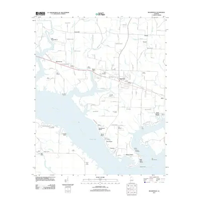
 2011 Hillsboro2011 Print · USGSCovers Lawrence County, including Hillsboro, Brides Hill, and other nearby areas
 - 2011 Map of Courtland, 2011 Print
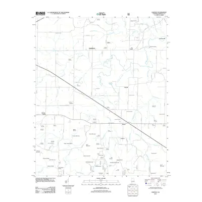
 2011 Courtland2011 Print · USGSCovers Lawrence County, including Courtland, North Courtland, and other nearby areas
 - 2011 Map of Trinity, 2011 Print
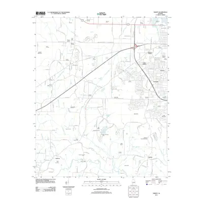 2011 Trinity2011 Print · USGSCovers Lawrence County, including Decatur, Trinity, and other nearby areas
 - 2011 Map of Rogersville, 2011 Print
 2011 Rogersville2011 Print · USGSCovers Lawrence County, including Rogersville, Freeman Acres, and other nearby areas
 - 2011 Map of Town Creek, 2011 Print
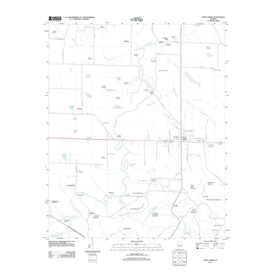 2011 Town Creek2011 Print · USGSCovers Lawrence County, including Town Creek, Edmond, and other nearby areas
 - 2011 Map of Danville, 2011 Print
 2011 Danville2011 Print · USGSCovers Lawrence County, including Hartselle, Pumpkin Center, and other nearby areas
 - 2011 Map of Bee Branch, 2011 Print
 2011 Bee Branch2011 Print · USGSCovers Lawrence County, including Rabbittown, Winston County, and other nearby areas
 - 2011 Map of Masterson Mill, 2011 Print
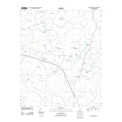 2011 Masterson Mill2011 Print · USGSCovers Lawrence County, including Moulton, Masterson Mill, and other nearby areas
 - 2011 Map of Oakville, 2011 Print
 2011 Oakville2011 Print · USGSCovers Lawrence County, including Moulton, Aldridge Grove, and other nearby areas
 - 2011 Map of Landersville, 2011 Print
 2011 Landersville2011 Print · USGSCovers Lawrence County, including Hickory Grove, Needmore, and other nearby areas
 - 2011 Map of Old Bethel, 2011 Print
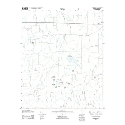
 2011 Old Bethel2011 Print · USGSCovers Lawrence County, including La Grange, Bethsaida, and other nearby areas
 - 2011 Map of Cairo, 2011 Print
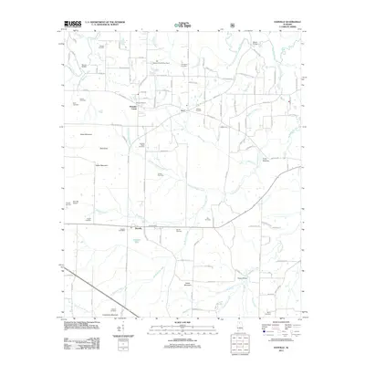
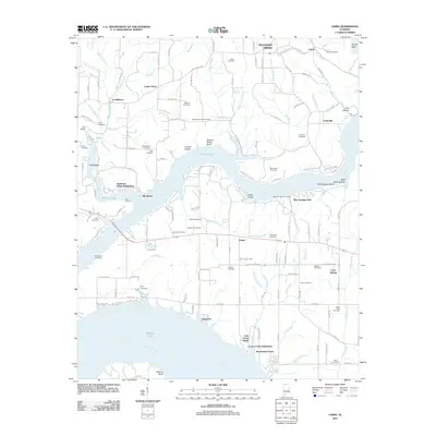 2011 Cairo2011 Print · USGSCovers Lawrence County, including Rogersville, Coxey, and other nearby areas
 - 2011 Map of Newburg, 2011 Print
 2011 Newburg2011 Print · USGSCovers Lawrence County, including Newburg, Oak Grove, and other nearby areas
 - 2011 Map of Massey, 2011 Print
 2011 Massey2011 Print · USGSCovers Lawrence County, including Piney Grove, Clifty, and other nearby areas
 - 2011 Map of Jones Crossroads, 2011 Print
 2011 Jones Crossroads2011 Print · USGSCovers Lawrence County, including Decatur, Athens, and other nearby areas
Showing maps 1-25 of 122
Top cities of Lawrence County
- Moulton historical maps
- Town Creek historical maps
- Courtland historical maps
- North Courtland historical maps
- Hillsboro historical maps
- Hatton historical maps
Frequently asked questions
- What are the different types of historical maps available for Lawrence County?
- What is the oldest map of Lawrence County?
- Where can I purchase historical maps of Lawrence County for my home or office?
- Where can I download high-res historical maps of Lawrence County?
- Are there historical topographic maps available for Lawrence County?
- Is there historical aerial imagery available for Lawrence County?
- Where are historical maps of Lawrence County sourced from?