Old Maps of Athens, Alabama for Academic Research
Study the evolution of Athens with 47 high-resolution historic maps. Whether you're teaching, researching, or modeling changes in land use, these maps provide essential visual documentation of urban, environmental, and geographic change.
- Analyze long-term change: Track patterns in development, transportation, and natural features.
- Ideal for environmental or urban studies: Support academic projects with primary historical map data.
- Use in the classroom or lab: Educators and researchers rely on these maps to bring historical context to life.
These maps are a powerful tool for teaching, research, and visualizing how Athens has changed over the decades.
Athens, AL maps
(47)- 1888 Map of Huntsville
 1888 Huntsville1888 Print · USGSMadison and Limestone counties in the late 1880s showcase a landscape defined by the Tennessee River and major early rail lines. Researchers can trace the layout of Huntsville or locate long-standing communities like Mooresville and Thompsons Mill.
 - 1892 Map of Huntsville
 1892 Huntsville1892 Print · USGSNorth Alabama was a landscape of river ferries and rising rail hubs in the 1890s, caught here just as the region's industry began to modernize. Researchers can locate vanished landmarks like the Monte Sano Hotel and trace old family-named sites from Thompsons Mill to Lemans Ferry.6 unique versions available
 - 1935 Map of Athens
 1935 Athens1935 Print · USGSMid-1930s Limestone County comes into focus as an agricultural landscape transitioning into a new era of infrastructure. Family researchers can locate rural anchors like Holt Store, Johnson Cem, and several local schools from Turner Hill Sch to St John Sch.
 - 1936 Map of Capshaw
 1936 Capshaw1936 Print · USGSLimestone and Madison counties are captured here in the mid-1930s as the Tennessee Valley Authority and Alabama Power began modernizing the rural landscape. Researchers can locate numerous vanished country schools like Grimett Sch, family landmarks such as McCully Mill, and the community at Wesley Chapel.
 - 1936 Map of Stewart Cross Roads
 1936 Stewart Cross Roads1936 Print · USGSThe Tennessee River valley underwent a massive transformation in the mid-1930s as the new reservoir flooded the lowlands. You can trace submerged riverbanks and find upland landmarks like Stewart Cross Roads, Beulah Land, and St Luke Sch.
 - 1936 Map of Ripley
 1936 Ripley1936 Print · USGSLimestone County is captured here in the mid-1930s as the new Wheeler Reservoir began reshaping the local landscape. Genealogists can locate family-named sites like Myers Cem and community centers like Peeks Store or Yarbrough Chapel.
 - 1936 Map of Tanner
 1936 Tanner1936 Print · USGSLimestone County is captured during the transformative years of the Tennessee Valley Authority project. Researchers can trace family sites and rural landmarks like Mooresville, Taylor Pride Cem, and the Alabama State Farm near the rising waters of Wheeler Reservoir.
 - 1938 Map of Tanner
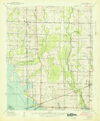 1938 Tanner1938 Print · USGSLimestone County in the late thirties shows a landscape transformed by the new Wheeler Reservoir and its rising waters. Genealogists can trace family holdings and community hubs like Anderson Plantation, Taylor Pride Cem, and Mooresville.
 - 1948 Map of Ripley, 1974 Print
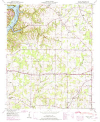 1948 Ripley1974 Print · USGSSettled hills and river bottoms in Limestone County appear here in the late forties as the Tennessee Valley Authority managed the local landscape. Researchers can trace rural family roots at Riddle Chapel, Turner Chapel School, and the Persimmon Grove Cem.2 unique versions available
 - 1950 Map of Jones Crossroads
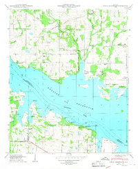 1950 Jones Crossroads1950 Print · USGSLimestone and Morgan counties meet along the wide waters of the Tennessee River in the post-war era. Genealogists and local historians can trace family plots at Neville Cem or locate community centers like Jones Crossroads and the Pine Ridge School.3 unique versions available
 - 1951 Map of Ripley
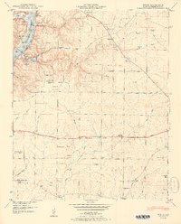 1951 Ripley1951 Print · USGSLimestone County in the early fifties shows a rural landscape shaped by the Elk River and new reservoir shorelines. Researchers can trace family history through numerous small settlements like Shanghai and family burial grounds such as McKinney Cem and Farrow Cem.2 unique versions available
 - 1956 Map of Gadsden, 1966 Print
 1956 Gadsden1966 Print · USGSNorth Alabama in the mid-1950s shows a region transformed by river engineering and federal industry. Genealogists and local historians can trace the development of the Tennessee Valley through the growth of Huntsville, the sprawling Redstone Arsenal, and the expansive Guntersville Lake.3 unique versions available
 - 1958 Map of Gadsden
 1958 Gadsden1958 Print · USGSNorth Alabama comes alive in the late 1950s as the Tennessee Valley Authority’s massive river projects and the rise of the space industry reshaped the landscape. Researchers can trace the mid-century footprints of Huntsville, Redstone Arsenal, and the riverside rail networks of the Southern railroad.
 - 1958 Map of Capshaw, 1959 Print
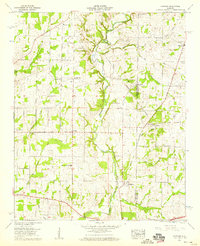 1958 Capshaw1959 Print · USGSThe rural border of Limestone and Madison counties is captured here in the late fifties as family farms and small crossroad communities thrived. Researchers can trace the Old Railroad Bed and locate historic sites like Pilgrim Home Church and Nick Davis Cem.3 unique versions available
 - 1958 Map of Athens, 1959 Print
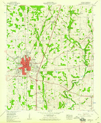 1958 Athens1959 Print · USGSMid-century Athens and its Limestone County surrounds are captured here during a period of steady growth along the major highways and rail lines. Researchers can trace family sites at Fielding Cem, explore the historic campus of Athens College, and locate rural outposts like Wigginsville and Sardis Springs.
 - 1960 Map of Gadsden
 1960 Gadsden1960 Print · USGSNorthern Alabama in the mid-1950s is defined by the mighty Tennessee River and its massive reservoirs. Trace the development of Huntsville and Redstone Arsenal or explore the vast William B Bankhead National Forest.2 unique versions available
 - 1963 Map of Gadsden
 1963 Gadsden1963 Print · USGSNorthern Alabama underwent a dramatic mid-century transformation as the Tennessee Valley became a hub for defense and industry. Researchers can trace the development of the Redstone Arsenal, the route of the Natchez Trace Parkway, and long-standing rail lines like the Southern Railway.
 - 1963 Map of Tanner, 1966 Print
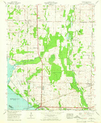 1963 Tanner1966 Print · USGSLimestone County's agrarian landscape meets the Tennessee River in the early sixties, as the region balances traditional farming with new infrastructure. Genealogists and historians can trace family land at Anderson Plantation or locate rural landmarks like Solomons Temple Cem and Mooresville.3 unique versions available
 - 1967 Map of Athens, 1972 Print
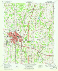 1967 Athens1972 Print · USGSAthens and its surrounding Limestone County countryside are captured during a period of mid-century growth and educational expansion. Genealogists and historians can trace family locations near Sampson Chapel Cemetery, Piney Chapel, and the historic campus of Athens College.3 unique versions available
 - 1976 Map of Jones Crossroads, 1977 Print
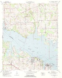 1976 Jones Crossroads1977 Print · USGSThe Tennessee River valley north of Decatur underwent significant industrial transformation by the mid-seventies. Researchers can trace family history through numerous burial sites like Malone Cem or locate the sprawling Browns Ferry Nuclear Plant.
 - 1984 Map of Huntsville, 1986 Print
 1984 Huntsville1986 Print · USGSNorthern Alabama and the Tennessee borderlands are captured in the mid-eighties as Huntsville and the Redstone Arsenal expand. Researchers can trace rural landmarks from Woodlin Mill to the Cumberland Plateau and old rail lines like the Southern.3 unique versions available
 - 1986 Map of Tuscumbia
 1986 Tuscumbia1986 Print · USGSThe Tennessee River valley in the mid-1980s shows a landscape transformed by massive reservoirs and industrial hubs. Genealogists and local historians can trace the development of the Shoals area and locate rural communities like Tharp Town, Leighton, and Rogersville.3 unique versions available
 - 2011 Map of Ripley, 2011 Print
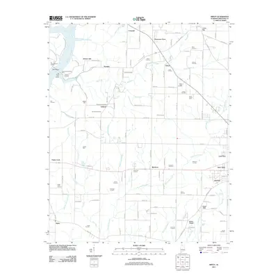 2011 Ripley2011 Print · USGSIn the early twenty-first century, Limestone County's rural communities like Shanghai and Oakland remained deeply tied to their creek-side roots. Genealogists and historians can trace family land via dozens of burial sites like Farrow Cemetery or locate the O'Neal Lookout Tower and Elk River Mills Bridge.
 - 2011 Map of Capshaw, 2011 Print
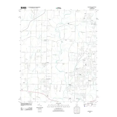 2011 Capshaw2011 Print · USGSMadison County at the start of the millennium shows a landscape where rural community roots remain deeply visible alongside modern growth. Genealogists can trace family names through dozens of sites like Vasser-Pettus Cemetery, Epps Airpark, and the Capshaw Post Office.
 - 2011 Map of Athens, 2011 Print
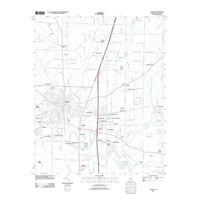 2011 Athens2011 Print · USGSAthens and the surrounding Limestone County countryside are shown here during a period of modern residential growth. Genealogists and local historians can locate many family burial sites, including Slave Cemetery, Roselawn Cemetery, and Cambridge Church Cemetery.
Showing maps 1-25 of 47
Top cities near Athens
- Huntsville historical maps
- Decatur historical maps
- Madison historical maps
- Harvest historical maps
- Priceville historical maps
- Triana historical maps
See more
Top neighborhoods of Athens
- Wigginsville historical maps
- Batts Heights historical maps
- Canebrake historical maps
- Lake Ida Heights historical maps
- Breeding Industrial Park historical maps
- Elm Industrial Park historical maps
Frequently asked questions
- What are the different types of historical maps available for Athens?
- What is the oldest map of Athens?
- Where can I purchase historical maps of Athens for my home or office?
- Where can I download high-res historical maps of Athens?
- Are there historical topographic maps available for Athens?
- Is there historical aerial imagery available for Athens?
- Where are historical maps of Athens sourced from?