2000s (21st Century) Maps of Tuskegee, Alabama
Explore 20 historic maps of Tuskegee from the 2000s (21st Century). These maps offer a rare glimpse into what life looked like during the 2000s — showing old roads, neighborhoods, homes, and landmarks that have changed or disappeared over time.
Whether you're researching your family's past, planning a metal detecting trip, or studying how Tuskegee's landscape evolved across the 2000s, these high-resolution maps are a powerful tool for exploring the history of this region.
- Focus on a specific era: All maps on this page are from the 2000s, giving you a focused view of this time period.
- See what’s changed: Compare century-old streets, trails, and buildings to today's modern landscape using overlays and satellite layers.
- Research with precision: Use these maps for genealogy, historical research, land use analysis, or educational projects.
- View, download, or print: Maps are fully viewable online in high resolution, and can be downloaded or printed for your own records.
Start exploring Tuskegee's history through authentic maps from the 2000s. This is your window into the past.
Tuskegee, AL maps
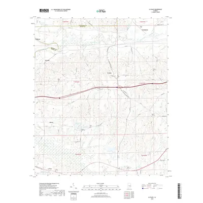
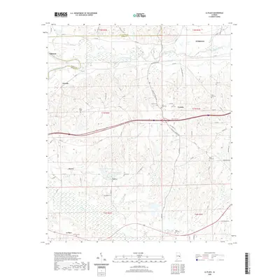
(20)- 2011 Map of La Place, 2011 Print
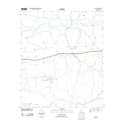 2011 La Place2011 Print · USGSCovers Tuskegee, including Tallassee, Franklin, and other nearby areas
 - 2011 Map of Notasulga, 2011 Print
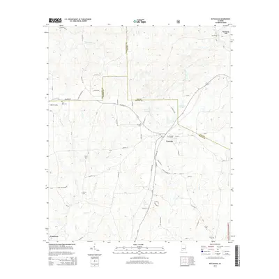
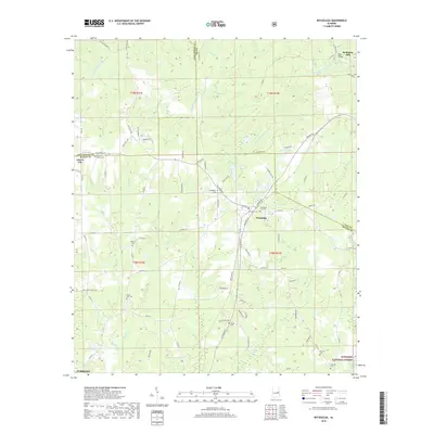
 2011 Notasulga2011 Print · USGSCovers Tuskegee, including Notasulga, McRitchie Mill, and other nearby areas
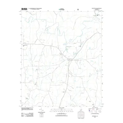
 - 2011 Map of Tuskegee, 2011 Print
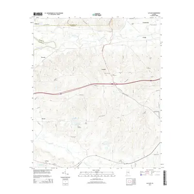
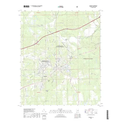
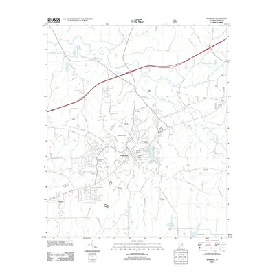 2011 Tuskegee2011 Print · USGSCovers Tuskegee, including Franklin, Seasha, and other nearby areas
 - 2011 Map of Carrville, 2011 Print
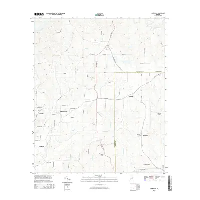
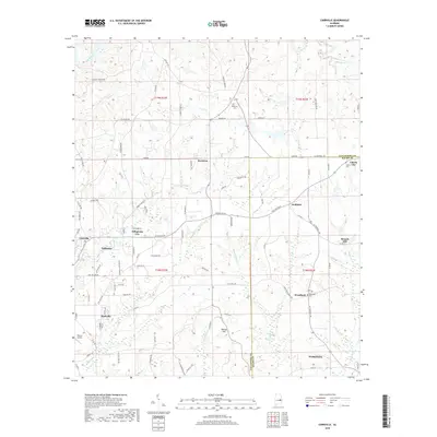
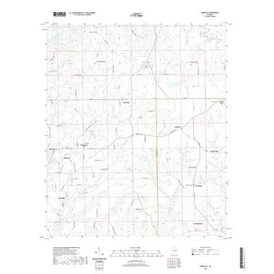
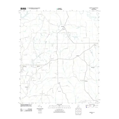 2011 Carrville2011 Print · USGSCovers Tuskegee, including Tallassee, Reeltown, and other nearby areas
 - 2014 Map of La Place, 2014 Print
 2014 La Place2014 Print · USGSCovers Tuskegee, including Tallassee, Franklin, and other nearby areas
 - 2014 Map of Carrville, 2014 Print
 2014 Carrville2014 Print · USGSCovers Tuskegee, including Tallassee, Reeltown, and other nearby areas
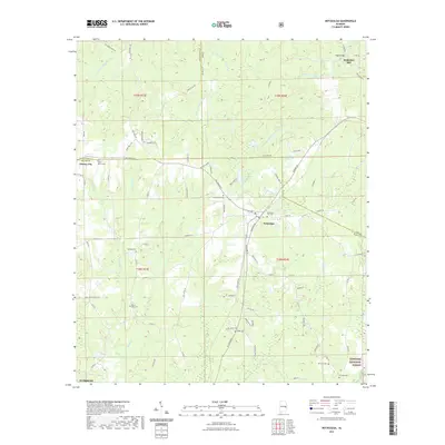
 - 2014 Map of Notasulga, 2014 Print
 2014 Notasulga2014 Print · USGSCovers Tuskegee, including Notasulga, McRitchie Mill, and other nearby areas
 - 2014 Map of Tuskegee, 2014 Print
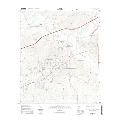 2014 Tuskegee2014 Print · USGSCovers Tuskegee, including Franklin, Seasha, and other nearby areas
 - 2018 Map of Tuskegee, 2018 Print
 2018 Tuskegee2018 Print · USGSCovers Tuskegee, including Franklin, Seasha, and other nearby areas
 - 2018 Map of Notasulga, 2018 Print
 2018 Notasulga2018 Print · USGSCovers Tuskegee, including Notasulga, McRitchie Mill, and other nearby areas
 - 2018 Map of Carrville, 2018 Print
 2018 Carrville2018 Print · USGSCovers Tuskegee, including Tallassee, Reeltown, and other nearby areas
 - 2018 Map of La Place, 2018 Print
 2018 La Place2018 Print · USGSCovers Tuskegee, including Tallassee, Franklin, and other nearby areas
 - 2020 Map of La Place, 2020 Print
 2020 La Place2020 Print · USGSCovers Tuskegee, including Tallassee, Franklin, and other nearby areas
 - 2020 Map of Carrville, 2020 Print
 2020 Carrville2020 Print · USGSCovers Tuskegee, including Tallassee, Reeltown, and other nearby areas
 - 2021 Map of Notasulga, 2021 Print
 2021 Notasulga2021 Print · USGSCovers Tuskegee, including Notasulga, McRitchie Mill, and other nearby areas
 - 2021 Map of Tuskegee, 2021 Print
 2021 Tuskegee2021 Print · USGSCovers Tuskegee, including Franklin, Seasha, and other nearby areas
 - 2024 Map of Carrville, 2024 Print
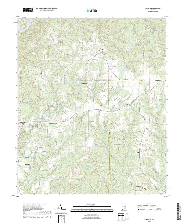 2024 Carrville2024 Print · USGSTallapoosa and Macon counties are shown in this contemporary study of East Alabama's rural crossroads and creek valleys. Genealogists and local historians can trace family locations near Reeltown Cem, Broach Mill, and the community of Tallapoosa City.
 - 2024 Map of Tuskegee, 2024 Print
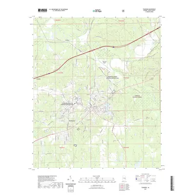
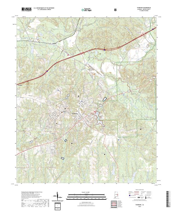 2024 Tuskegee2024 Print · USGSTuskegee and the surrounding Macon County countryside are captured here in the early twenty-first century. Researchers can trace the layout of Tuskegee University, find local burial grounds like Greenwood Cem, or locate the Tuskegee Airmen National Historic Site.
 - 2024 Map of La Place, 2024 Print
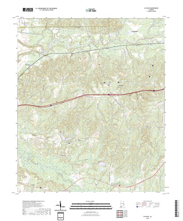 2024 La Place2024 Print · USGSTuskegee and the rural communities of Macon County are detailed here in the 2020s, showing a landscape defined by the Tallapoosa River and local family history. Researchers can trace the locations of numerous community landmarks like Walker Chapel Cem, Shorter, and Zion Cem.
 - 2024 Map of Notasulga, 2024 Print
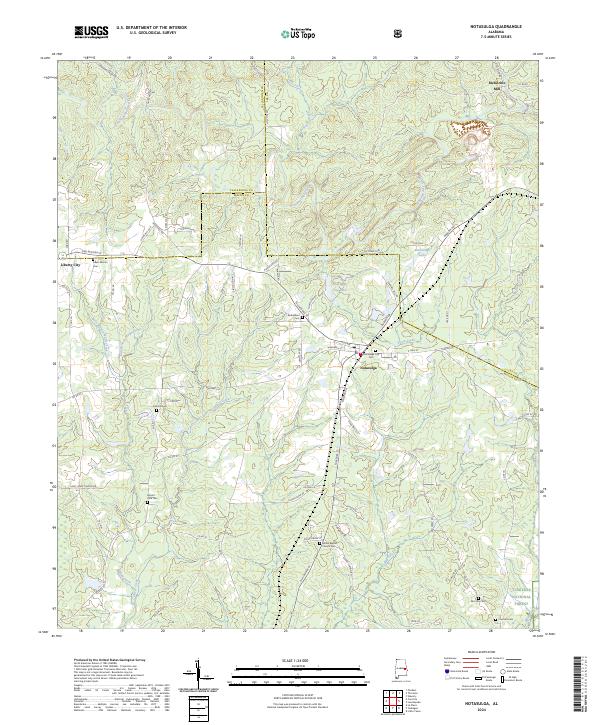 2024 Notasulga2024 Print · USGSNotasulga and the rolling terrain of Macon and Lee Counties appear in this modern survey of East Alabama. Researchers can trace family history through numerous landmarks including McRitchie Mill, Antioch Cem, and Liberty City.
End of results
Showing maps 1-20 of 20
Top cities near Tuskegee
- Auburn historical maps
- Tallassee historical maps
- Notasulga historical maps
- Reeltown historical maps
- Franklin historical maps
- Shorter historical maps
See more
Top neighborhoods of Tuskegee
Frequently asked questions
- What are the different types of historical maps available for Tuskegee?
- What is the oldest map of Tuskegee?
- Where can I purchase historical maps of Tuskegee for my home or office?
- Where can I download high-res historical maps of Tuskegee?
- Are there historical topographic maps available for Tuskegee?
- Is there historical aerial imagery available for Tuskegee?
- Where are historical maps of Tuskegee sourced from?