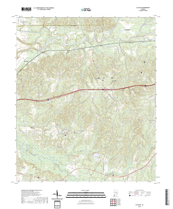
2024 Map of La Place
USGS Topo · Published 2024This historical map portrays the area of La Place in 2024, primarily covering Macon County as well as portions of Tallapoosa County and Elmore County. Featuring a scale of 1:24000, this map provides a highly detailed snapshot of the terrain, roads, buildings, counties, and historical landmarks in the La Place region at the time. Published in 2024, it is the sole known edition of this map.
Map Details
Editions of this 2024 La Place Map
This is the sole edition of this map. No revisions or reprints were ever made.
Historical Maps of Tuskegee Through Time
17 maps found
1971 Chesson
Macon County, AL
1971 Hardaway
Macon County, AL
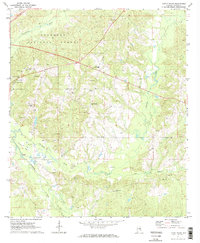
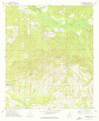
1971 La Place
Macon County, AL
1971 Little Texas
Macon County, AL
1971 Society Hill
Macon County, AL
1973 Creek Stand
Macon County, AL
1973 Davisville
Macon County, AL
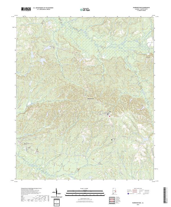
1973 Warriorstand
Macon County, AL
1998 Little Texas
Macon County, AL
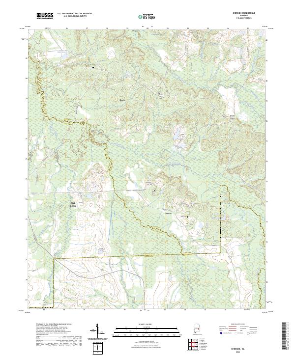
2024 Chesson
Macon County, AL
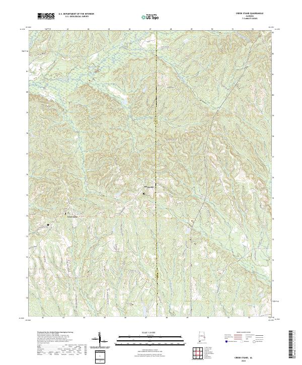
2024 Creek Stand
Macon County, AL
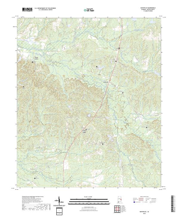
2024 Davisville
Macon County, AL
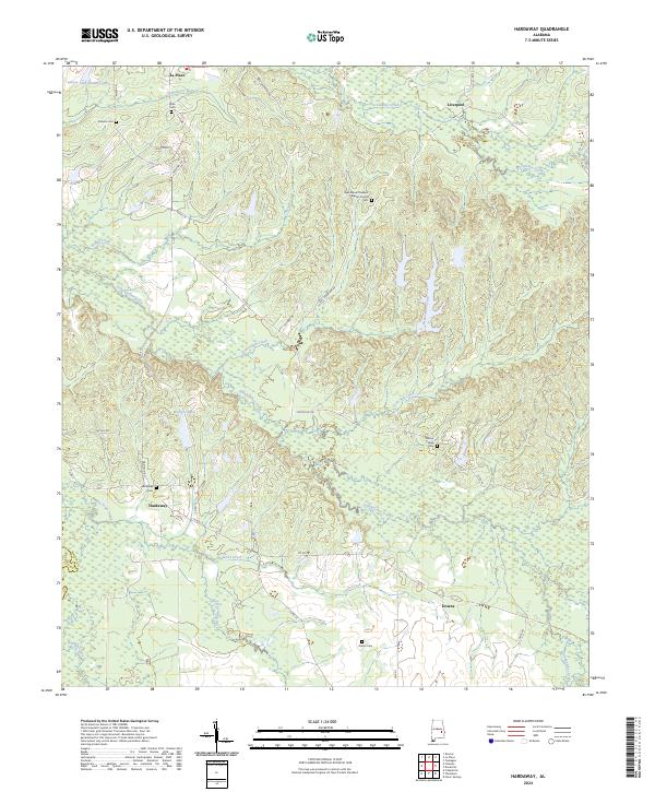
2024 Hardaway
Macon County, AL
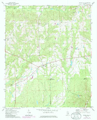
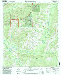
2024 La Place
Macon County, AL
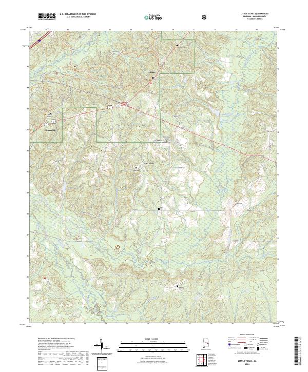
2024 Little Texas
Macon County, AL
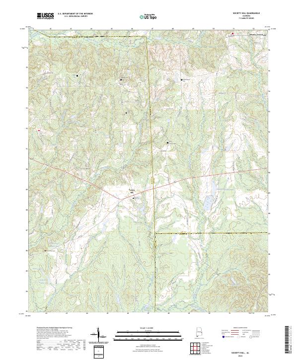
2024 Society Hill
Macon County, AL
2024 Warriorstand
Macon County, AL