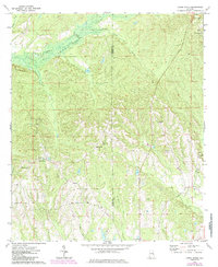
1973 Map of Creek Stand
USGS Topo · Published 1985About this map
The boundary between Macon Co and Russell Co runs through this landscape of drainages and small rural settlements during the early 1970s. The community of Boromville serves as a local focal point, supported by the Boromville Cemetery, Borom Cemetery, and Providence Church. To the west, Creek Stand anchors a nearby cluster of activity near the Creek Stand Church and Cemetery.
Find a feature on this map
20 named features on this map. Tap any name to fly to it.
Don’t see what you’re looking for? This feature index may not catch every label — zoom into the map to look around manually.
Map Details
Editions of this 1973 Creek Stand Map
2 editions found
Other maps of this area

1955 · Phenix City
USGS Topo · 1:250,000

1957 · Phenix City
USGS Topo · 1:250,000

1958 · Phenix City
USGS Topo · 1:250,000

1971 · Little Texas
USGS Topo · 1:24,000
1971 · Marvyn
USGS Topo · 1:24,000
1971 · Society Hill
USGS Topo · 1:24,000
1973 · Hatchechubbee
USGS Topo · 1:24,000
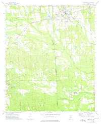
1973 · Hurtsboro
USGS Topo · 1:24,000
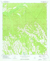
1973 · Creek Stand
USGS Topo · 1:24,000
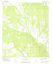
1973 · Rutherford
USGS Topo · 1:24,000